
Deventer (the ultimate historic walk for history lovers in 4 parts) Part 2
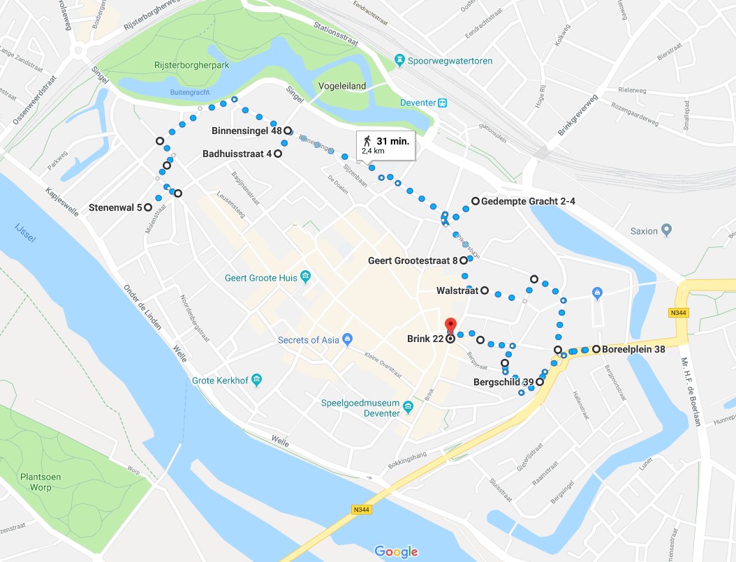
Route and Map Part 2
Part/Map 2: Stenen wal–> Noordenbergschild–> Graaf van Burenstraat–> Gibsonstraat–> Binnensingel–>Badhuisstraat tot aan Smedenstraat–>Terug naar Binnensingel–> Brinkpoortstraat–> Brinkpoortplein–>Brinkpoortstraat–>Gedempte Gracht–> Pikeursbaan–> Geert Grootestraat–> Walstraat–> Damstraat–> Pikeursbaan–> Houtmarkt–>Emmaplain–> Kazernestraat–>Emmaplein–>Emmastraat–> Bergschild–> Stairs–>BergKerkplein–> Roggestraat –> Part/Map 3
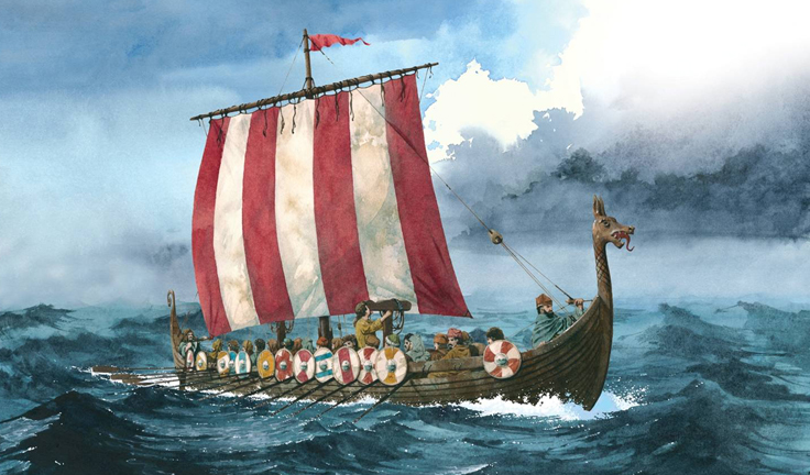
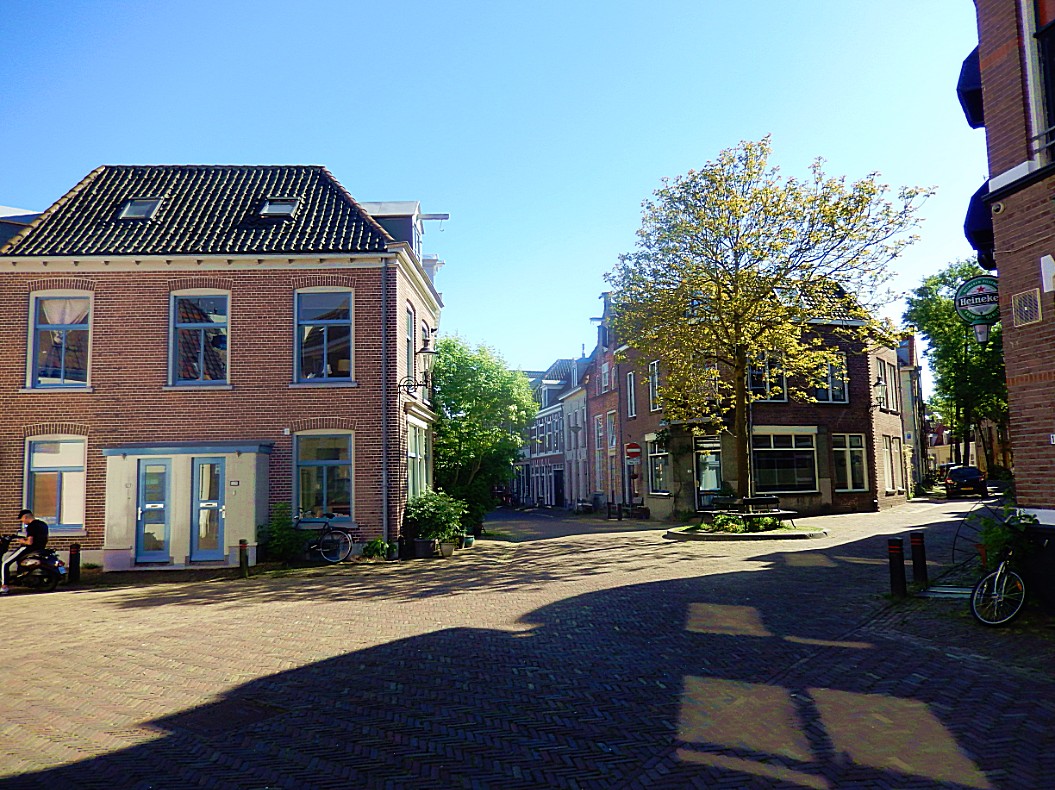
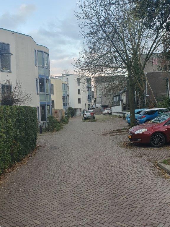
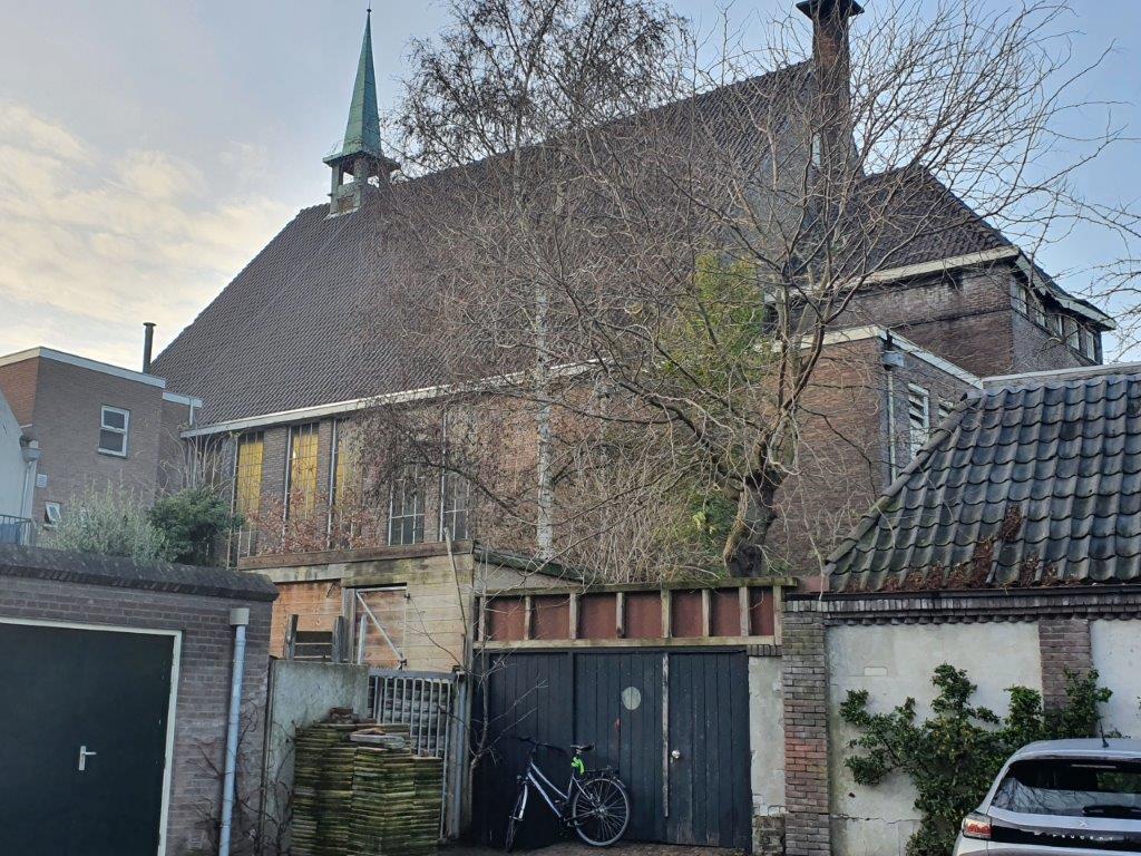
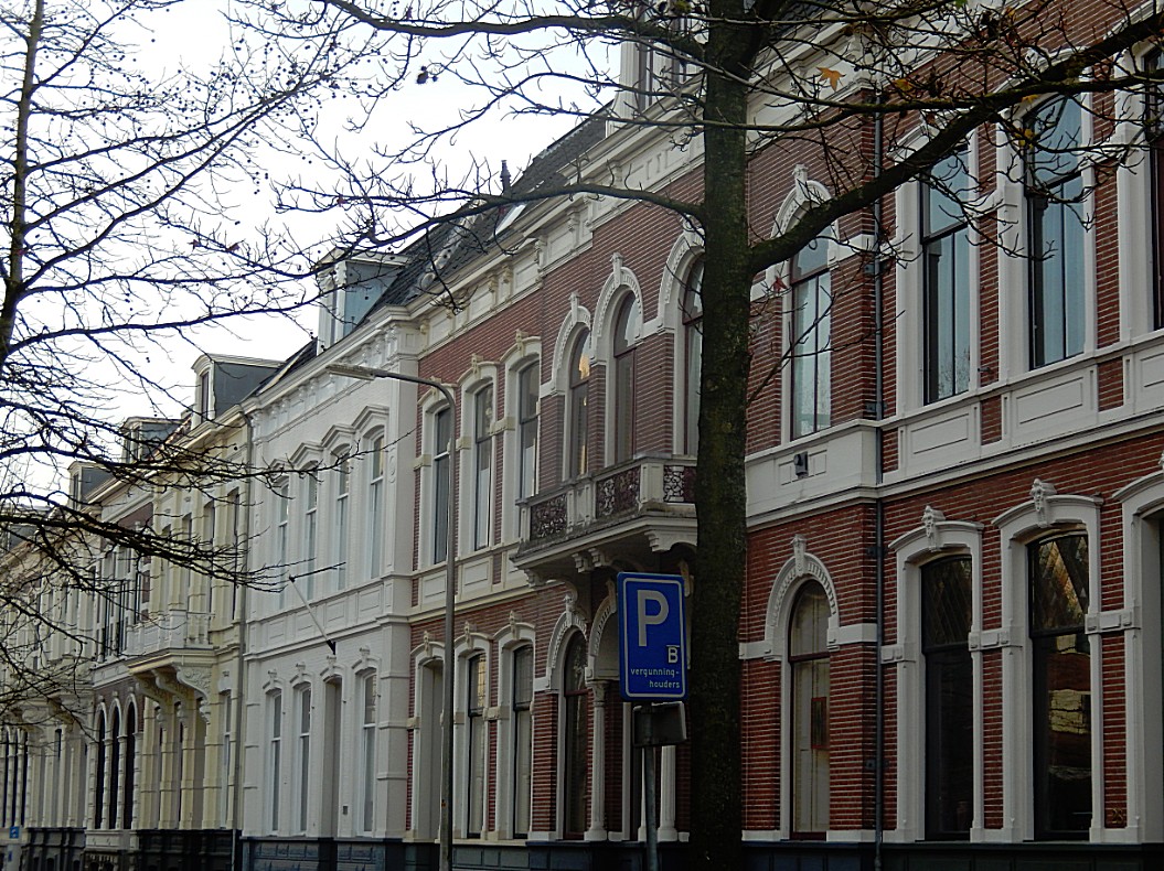
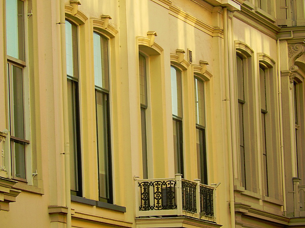
You’ve now climbed the Stenen Wal (stone wall) build in the Middle Ages as a defense system against the invading Vikings and Norsemen from Scandinavia who sailed their Drakkar Ships north over the River IJssel.
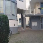
![]() Proceed and descend to the end of the street.
Proceed and descend to the end of the street.
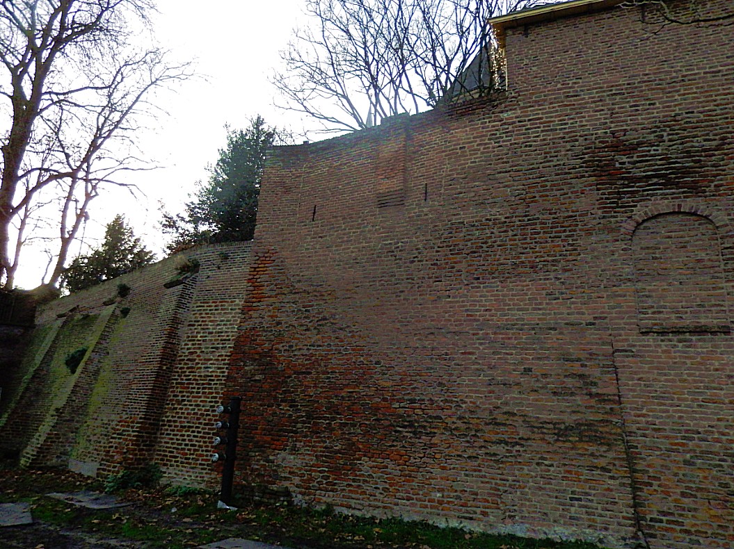
Stone Wall/Stenen Wal

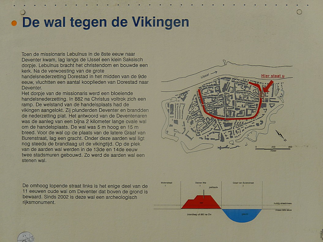
 When Vikings in their Drakkar Ships had plundered and burnt Deventer a few times, the inhabitants started building a defensive earth wall with a wooden pallisade on top. Later this wall was converted into the first stone city wall defense, surrounding the historic mediaeval town. The wall skirted the current Molenstraat, Noordenbergschild and Smedenstraat, Korte Bisschopstraat, the inner curve of the Brink and finally the first part of the Polstraat from where it proceeded towards the River IJssel. The riverbank in those days was further land inward than it is nowadays.


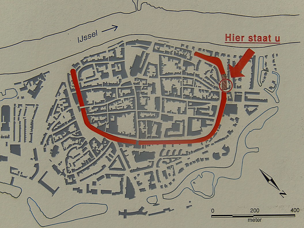
This is the only remaining part of the wall in the entire city. The defensive wall was one of the reasons why the Bisshop of Utrecht chose Deventer as his temporary seat. This would be very beneficial to the city’s economic development.
At the end of the street on the left is a large information tableau.
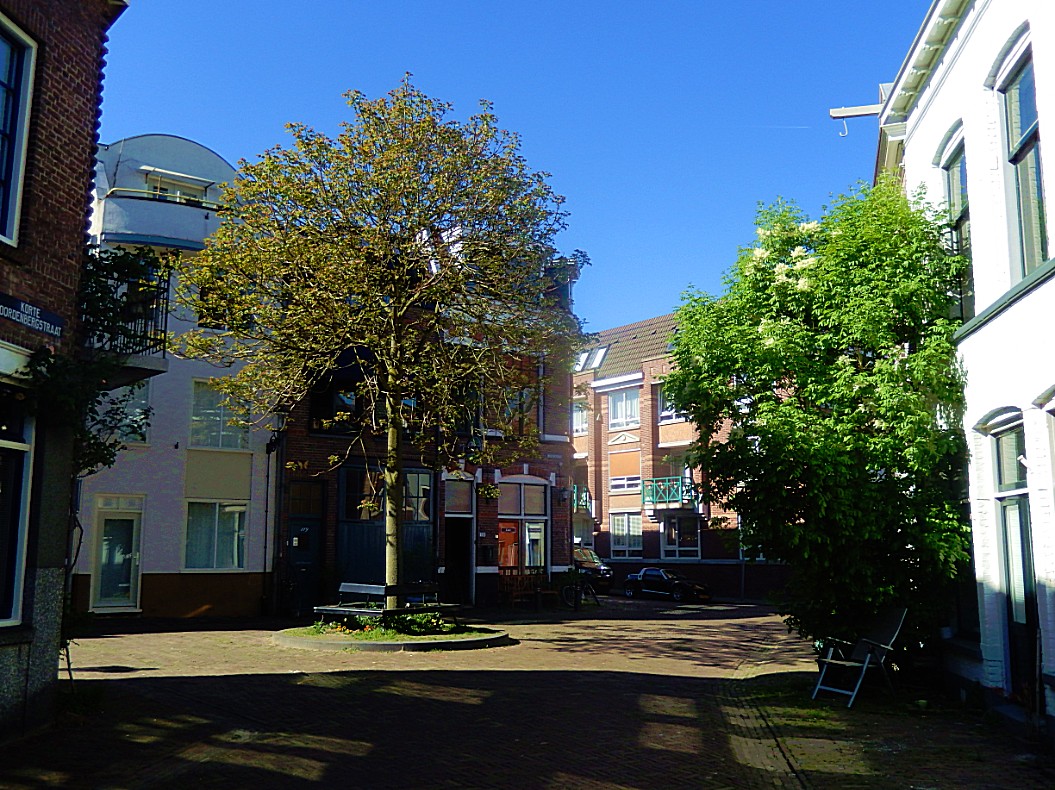
![]() At the end of the Stenenwal, go right for a few metres into the medieaval town center within the old city wall, until you reach a small area with a tree surrounded by a bench in the center. This is actually the dune top. Lookaround at all the awesome monuments around you. From here you can look deep into Molenstraat (right), Korte Noordenbergstraat (right in front), Papenstraat/Bruijnsteeg (left in front) and Noordenbergschild (left). Now turn and go to the end of the Stenenwal. Turn your back to the Stenenwal.
At the end of the Stenenwal, go right for a few metres into the medieaval town center within the old city wall, until you reach a small area with a tree surrounded by a bench in the center. This is actually the dune top. Lookaround at all the awesome monuments around you. From here you can look deep into Molenstraat (right), Korte Noordenbergstraat (right in front), Papenstraat/Bruijnsteeg (left in front) and Noordenbergschild (left). Now turn and go to the end of the Stenenwal. Turn your back to the Stenenwal.


![]()
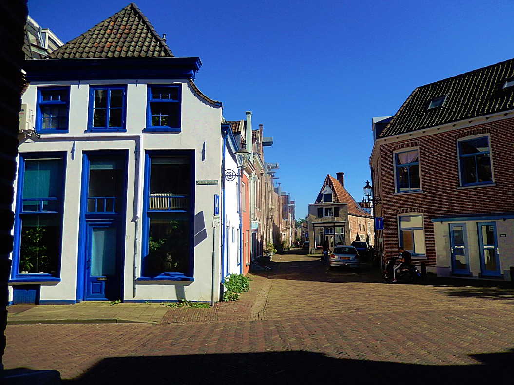
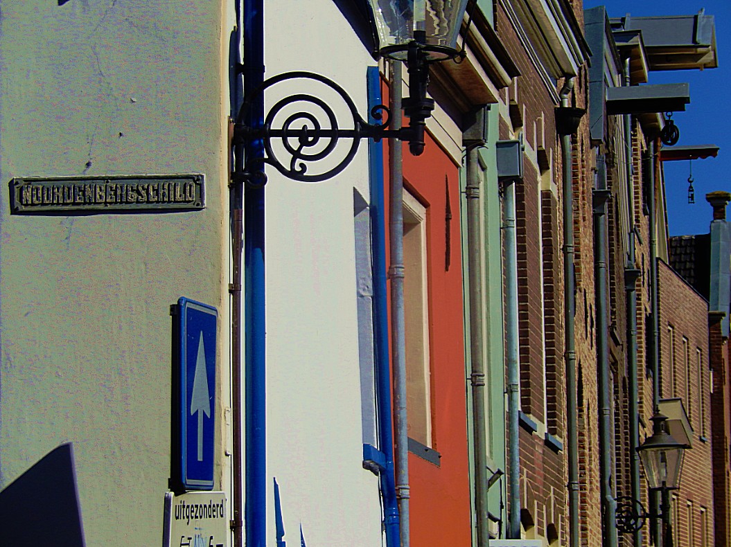
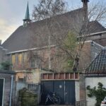
At the end of the Stenenwal, cross the street (Noordenbergschild) and turn left on the sidewalk. Look out for a little gate into the building to your right. On the left wall of this gate is a small plaque commemorating the Meelbrug.
The Meelbrug
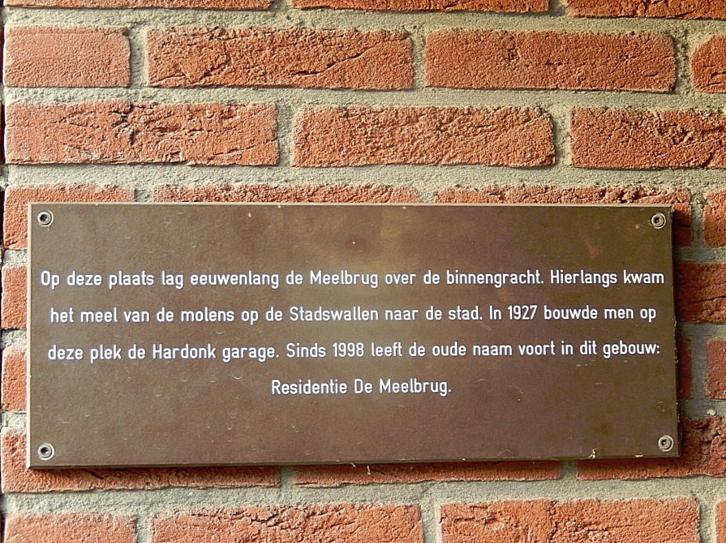
So we already learned that the city of Deventer was surrounded by a Stone Wall, then an Inner moat, then an open area, then again a Stone wall, a small open area and again a Stone Wall and last an Outer Moat. We just left the 1st and oldest Stone Wall behind us and thus have now reached the area of the inner moat and the Meelbrug (Flour Bridge) crossed the inner moat at this spot.
In the same period as the Meelbrug, there was also a Corn Windmill (De drie gebroeders) just outside the Stenen Wal right on the Graaf van Buren Bastion, which was owned by the Schutte family firm. This firm had a spice cake bakery shop on the Brink, which was bought by the J.B. Bussink firm and it was this last firm that created the now famous Deventer spice cake. The flour created at this Wind mill was transported into town, over the Meelbrug and through the Stone City Wall.
A lot of squares, markets, city gates and streets of Deventer are named after goods traded think of names like Houtmarkt (Wood Market), Stromarkt (Straw Market), Beestenmarkt (Animal/Livestock Market), Vispoort (Fish Gate), Zandpoort (Sand Gate)Keep following the sidewalk and turn right at the next street.
![]()
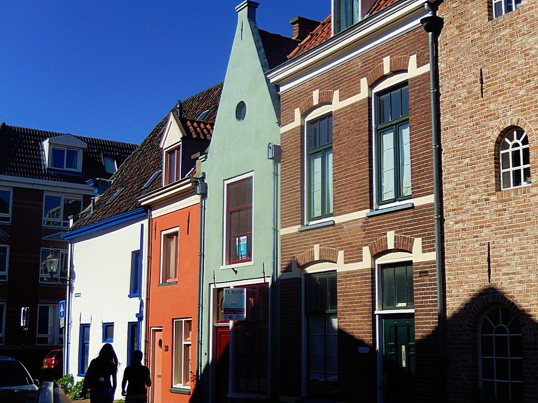
 Keep following the sidewalk and turn right into the 1st street. You’re now in the Graaf van Burenstraat. Follow tis street to the end and cross the T.G. Gibsonstraat. Then turn left on the side walk. Don’t walk to quickly now. Look down at the street pavement until you notice a circular pattern in the street stones.
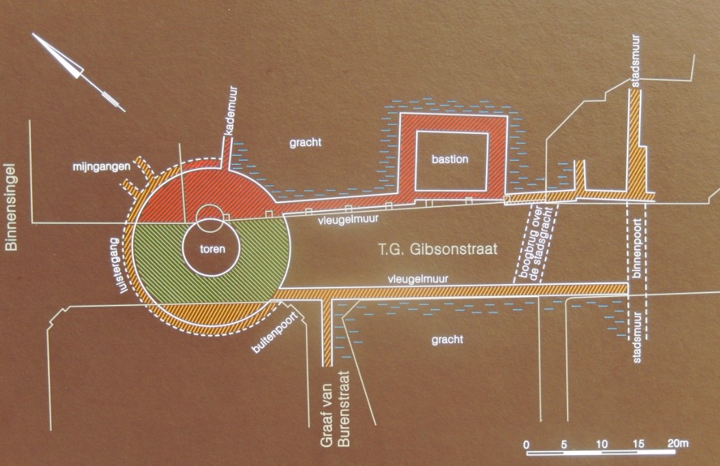
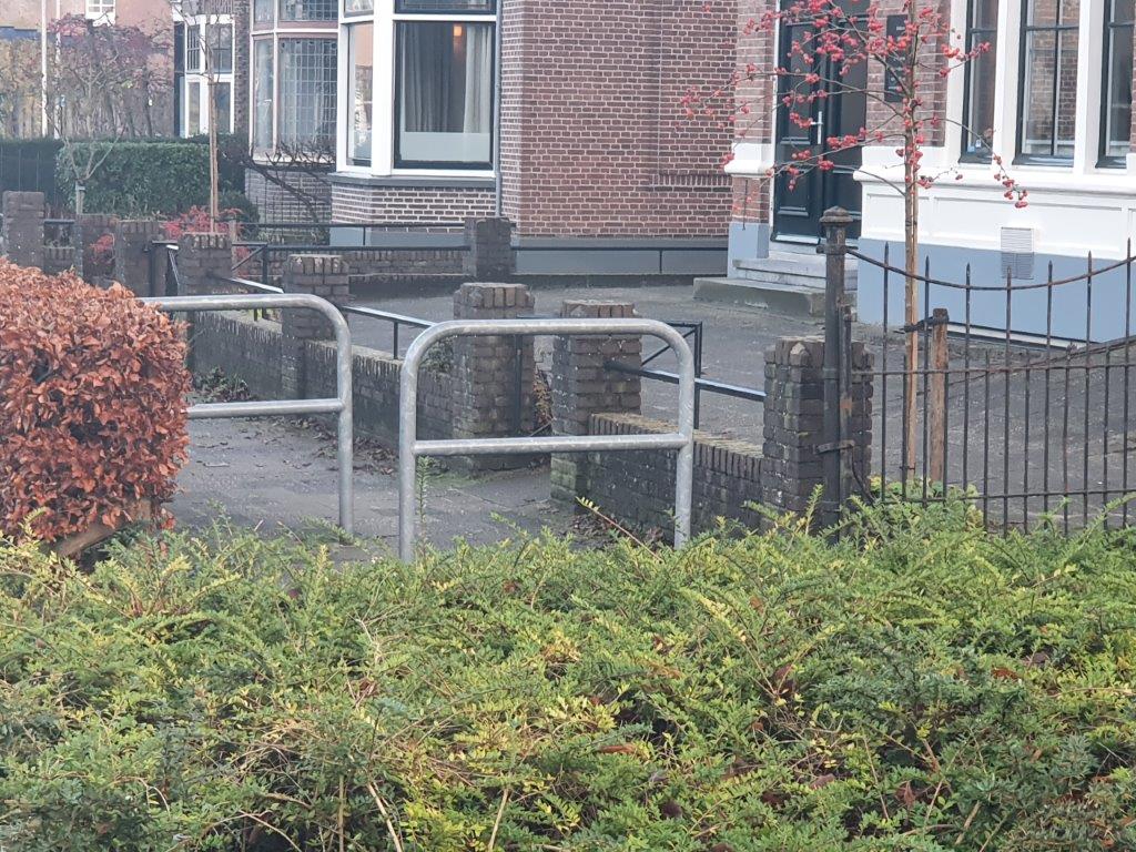
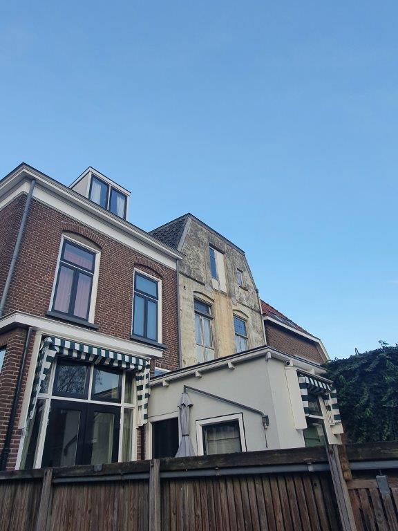
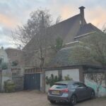
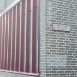
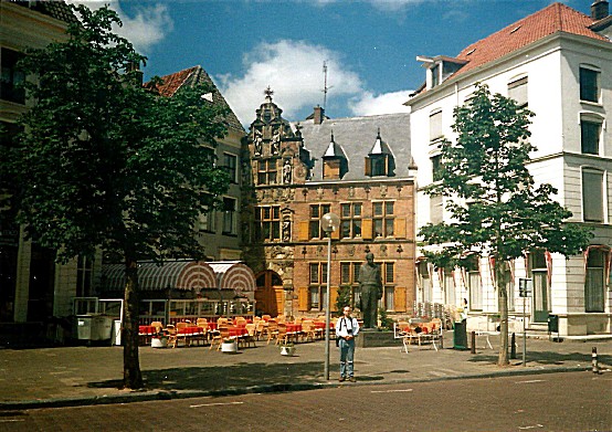
Noordenberg Turret/Tower
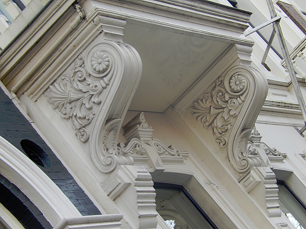
 We are still following the cities defenses and now we reached the Noordenbergtoren. This tower was build on the outside of the inner moat, and was connected to the town by a street with wing walls, a bastion, a bridge over the inner moat and the Noordenberg(binnen)poort ((Inner) North Hill Gate), (the north hill referring to the North dune). A plaque on the wall right explains more about the tower. I hope it gets clearer to you how well defended this town actually was.

In the area indicating the tower are two windows where you can look inside the building to your left, which is an underground parking space, and see the actual foundations of the tower!!!


These visible foundations are from the red colored part in the map below…

![]()
 Keep following the sidewalk and turn right into the 1st street. You’re now in the Binnensingel and left the Noordenbergkwartier. Follow this street which boasts some nice monuments, until it temporarily merges with the Singel.


Binnensingel
 The Binnensingel is the road skirting the outside of the inner moat.
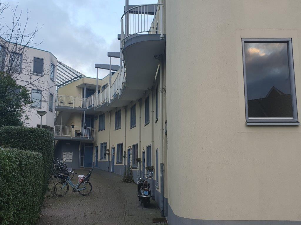
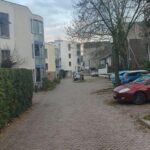
![]() The Binnensingel follows the outside of the inner moat and after merging a short distance with the Singel, it continuous and turns in to the town, distancing itself from the outer moat. Follow the pavement and enter through a metal biker block gate the part of the Binnensingel that distances itself from the outer moat.
The Binnensingel follows the outside of the inner moat and after merging a short distance with the Singel, it continuous and turns in to the town, distancing itself from the outer moat. Follow the pavement and enter through a metal biker block gate the part of the Binnensingel that distances itself from the outer moat.


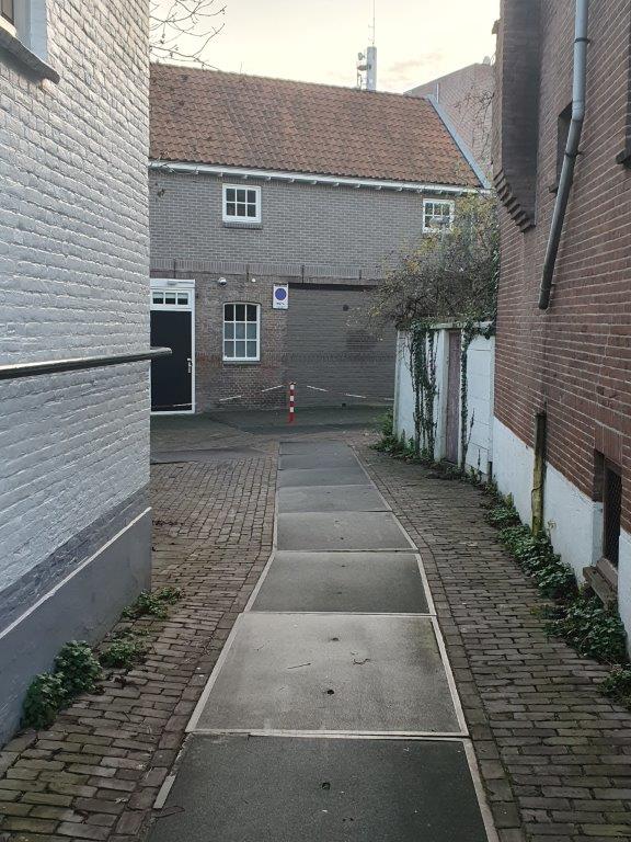
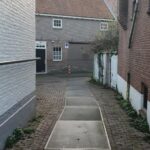
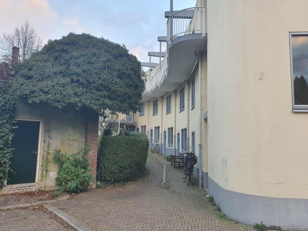
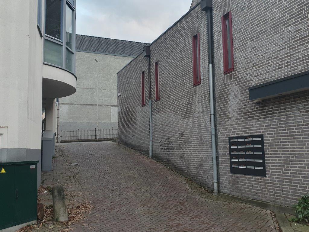
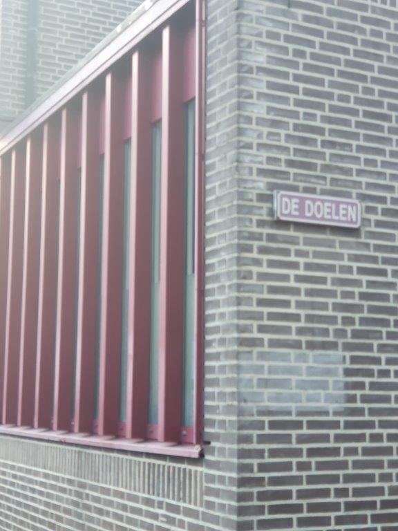
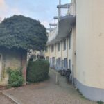
![]() Go right into the very first small alley which bears the name: Het Perck and follow this to a parking lot. The street to the parking lot goes slightly down.
Go right into the very first small alley which bears the name: Het Perck and follow this to a parking lot. The street to the parking lot goes slightly down.


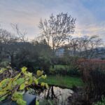
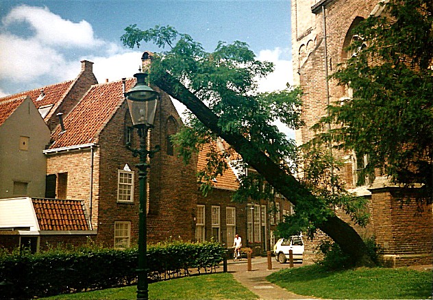
Now you are at the actual bottom of where once the inner moat was situated and to the right are some private gardens behind a fence, to the left the road goes on following the location of the old inner moat. Stroll a bit around but return than to the position where you entered Het Perck.
Some impressions of the inner moat area:
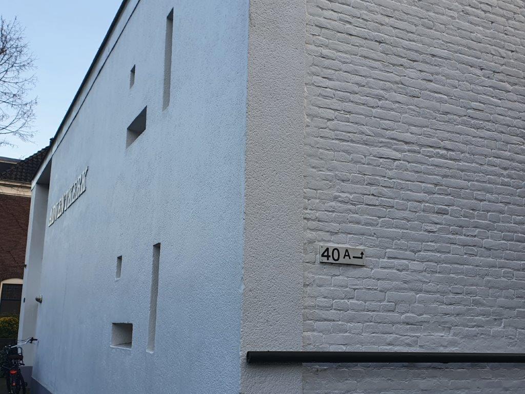
![]() If you follow Het Perck to its end, you can turn right and you’ll get onto the Binnensingel agai at Binnensingel number 40A, just before the white Apostolic Church building.
If you follow Het Perck to its end, you can turn right and you’ll get onto the Binnensingel agai at Binnensingel number 40A, just before the white Apostolic Church building.
![]() After leaving The Perck (at its entrance or at number 40A, turn right and follow the Binnensingel.
After leaving The Perck (at its entrance or at number 40A, turn right and follow the Binnensingel.
Keep following the Binnensingel until you’ve reached the Badhuisstraat (Bath house street) on the right. Turn right into the Badhuisstraat until its end.


Badhuisstraat/Smedenstraat


The Badhuisstraat actually crosses the inner moat (of which you already walked a section on Het Perck) into the town towards the Smedenstraat (Smith street). The Smedenstraat was the mediaeval street where most smithys were located. Here horse owners came to get new horseshoes for their horses. These horses were used by the cavalary like the pikeurs, soldiers using horses and carriages, but also by traders and farmers visiting the town. After several huge fires had destroyed large parts of the town, then still largely build of wooden houses, the blacksmiths were ordered to move to the edge of town into this street. Hence its name. The city counsel then prohibited the use of wood as building material and ordered the city to be rebuild of stone. This meant that fires didn’t have that much of a destructive force anymore and lots of these old stone buildings in Deventer survive even today.
The city fire of 1334 is one of the largest city fires that hit the Dutch city of Deventer, with that of 1235.
On Saturday July 21 in the year 1334, two thirds of all houses burned to the ground in the city of Deventer. The fire was very fierce and quickly took hold. No house was spared around Assenstraat, Polstraat, Bisschopstraten and Waterstraat. Large stone buildings such as the Lebuïnuskerk, the Mariakerk and the Heilige Geest Gasthuis aan de Brink were also severely damaged.
This city fire accelerated the petrification process of the city center of Deventer. The city council decided to grant subsidies on stone roofing (tiles and slates) to replace reed. In the period of the rebuilding of the Deventer city center, a subsidy was paid in one year for 624,000 capstones. The allowance was about a pound or twenty shillings per thousand stones. So the amount paid in that year was £ 624.
![]() Return to the Binnensingel and go right. Now follow the Binnensingel until it splits, the left part being the Binnensingel and the right part the Sijzenbaan. Choose the right part Sijzenbaan
Return to the Binnensingel and go right. Now follow the Binnensingel until it splits, the left part being the Binnensingel and the right part the Sijzenbaan. Choose the right part Sijzenbaan


![]() Go left and walk through a gateway underneath/through a building. The road descends quite a bit.
Go left and walk through a gateway underneath/through a building. The road descends quite a bit.
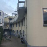
Again you’ve entered the Inner Moat. Stroll around and see the buildings on both sides of the moat on a higher level than where you are now. The buildings at the Sijzenbaan side are build upon the slope ascending to the embankment (wal in Dutch). When ready, return to the fork of the Binnensingel and the Sijzenbaan.
Some impressions:
![]() Return to the Binnensingel and go right. Now follow the Binnensingel which changes into the Brinkpoortstraat (Brink Gate Street) and later Brinkpoortplein and then Brinkpoortstraat again, until it reaches the Keizerstraat.
Return to the Binnensingel and go right. Now follow the Binnensingel which changes into the Brinkpoortstraat (Brink Gate Street) and later Brinkpoortplein and then Brinkpoortstraat again, until it reaches the Keizerstraat.
Binnensingel


Brinkpoortstraat/Brinkpoortplein/Brinkpoort
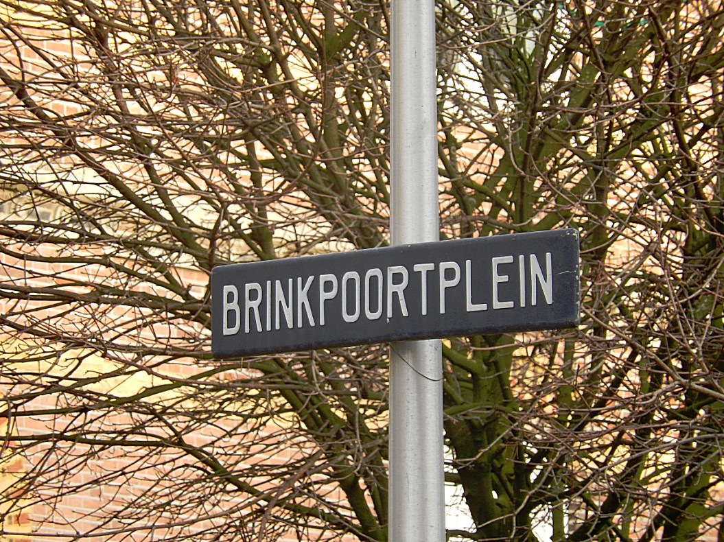


 Where the Brinkpoortstraat reaches the Keizerstraat, used to be the Brink Gate (Brinkpoort). This gate and the Keizerstraat (Emperor street) leads to the large market square named Brink (which you’ll visit later). The Brink gate was build in 1544. The gate was part of the Bastion “De Keizer” (Emperors Bastion) which was named after emperor Charles V because of his victory in the Battles of Gelre. In 1549 prins Philips II of Spain was inaugurated while entering the town through the Brink gate. About 1868 the gate was demolished when part of the inner moat was drained. The Brinkpoortstraat, Brinkpoortplein, Keizerstraat and Residence De Keizer all remind us of this inauguration.
![]()
Cross the Keizerstraat and go left into a short street between high buildings. This street is called the Gedempte Gracht (drained moat).
Gedempte Gracht
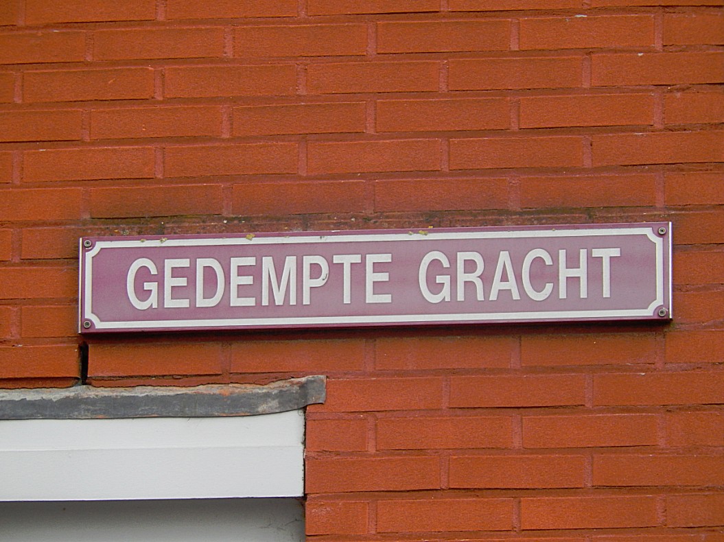
This streetname reminds us that in this location the inner moat was partially drained. Later the complete moat got drained and nowadays there is no inner moat.
![]() Return to the Keizerstraat but now immediately turn left into the Pikeursbaan.
Return to the Keizerstraat but now immediately turn left into the Pikeursbaan.
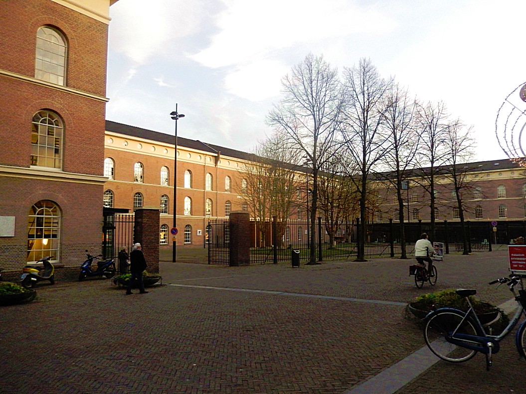
Pikeursbaan
Left of the Pikeursbaan were no residential areas, but only military terrain. This terrain extends parallel to the Pikeursbaan and the Houtmarkt where you can still see the military barracks that are now a shopping centre named The Boreel (after the old barracks).
![]() Return cross the Pikeursbaan and follow thesidewalk to the next street ging right. This is the Geert Groote straat.
Return cross the Pikeursbaan and follow thesidewalk to the next street ging right. This is the Geert Groote straat.
Geert Grootestraat
Gerard Groote (October 1340 – 20 August 1384), otherwise Gerrit or Gerhard Groet, in Latin Gerardus Magnus, was a Dutch Roman Catholic deacon, who was a popular preacher and the founder of the Brethren of the Common Life. He was a key figure in the Devotio Moderna movement.
Later more about Geert Groote and his meaning for Deventer.
![]() After entering Geert Grootestraat, immediately turn left down a broad stair. Continue to the bottom.
After entering Geert Grootestraat, immediately turn left down a broad stair. Continue to the bottom.
The Inner Moat/De Binnengracht

 Now you’re standing on the bottom of what once was the inner moat of the city of Deventer and this is probably the only location in town where you can really see the inner moat in the elevation levels.


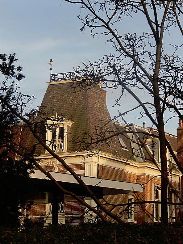
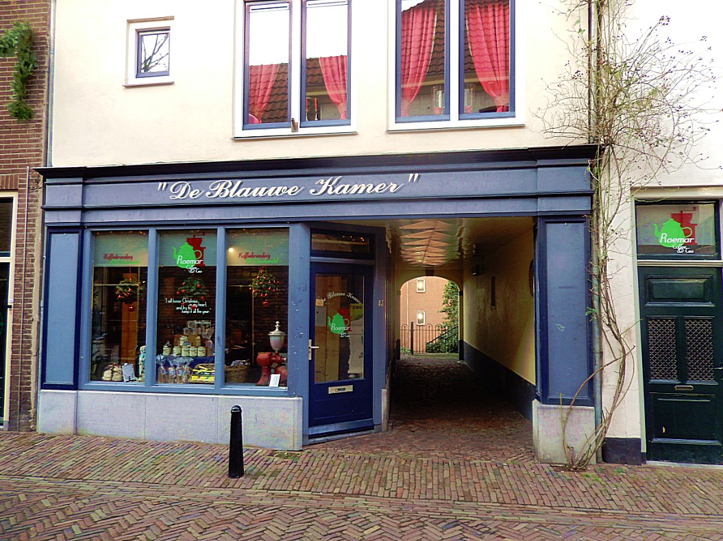
Climb the other bank of the moat (stairs) and walk through a gate in the buildings to the end of the path and stop before “De Blauwe Kamer“.


Website: https://www.dille-kamille.nl/nl/content/118/deventer/


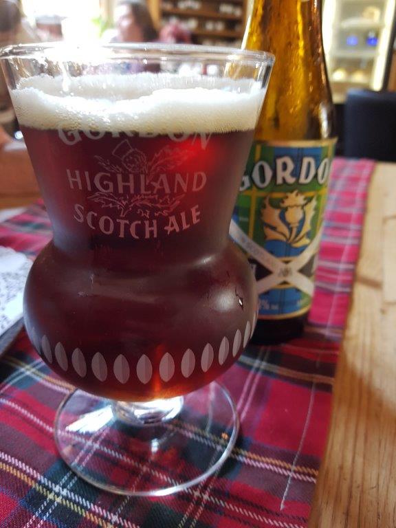
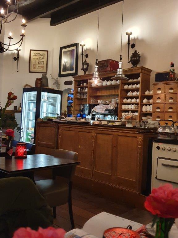
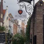
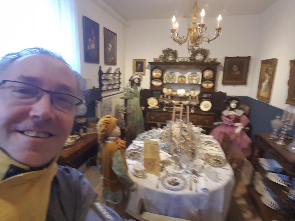
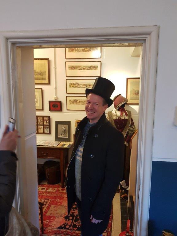
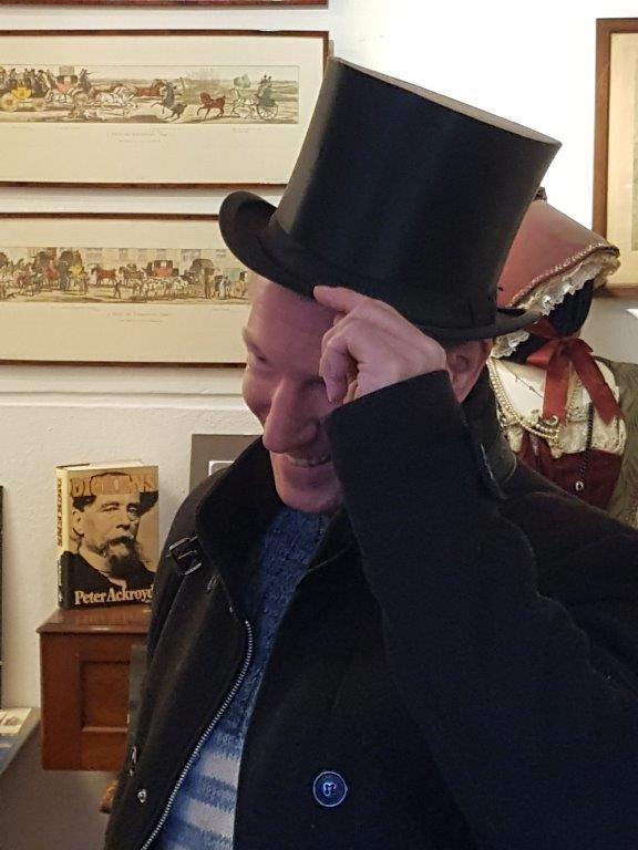
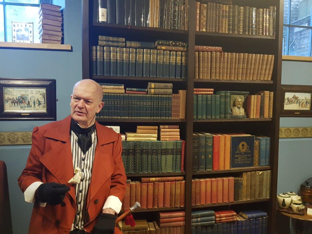
Make a little, very worthwhile detour to the right, until you see a sign on your left at a large iron gate. The sign says: The Wallstraat Tearose. Go left through the gate and follow the narrow alley, passing the Dickens Cabinet (a tiny museum dedicated to the life of Charles Dickens (every year a large Dickens Festival is organized in this area of town. More about that a bit further down).
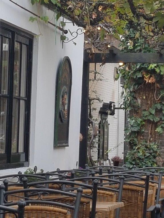
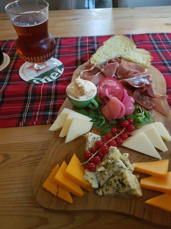
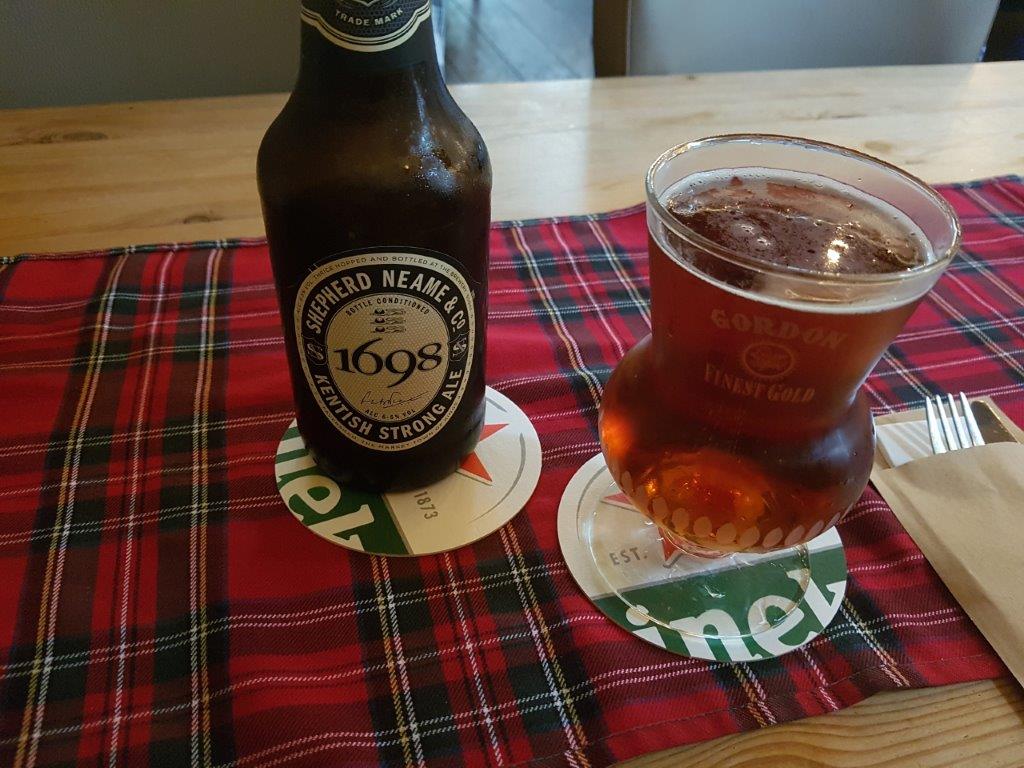
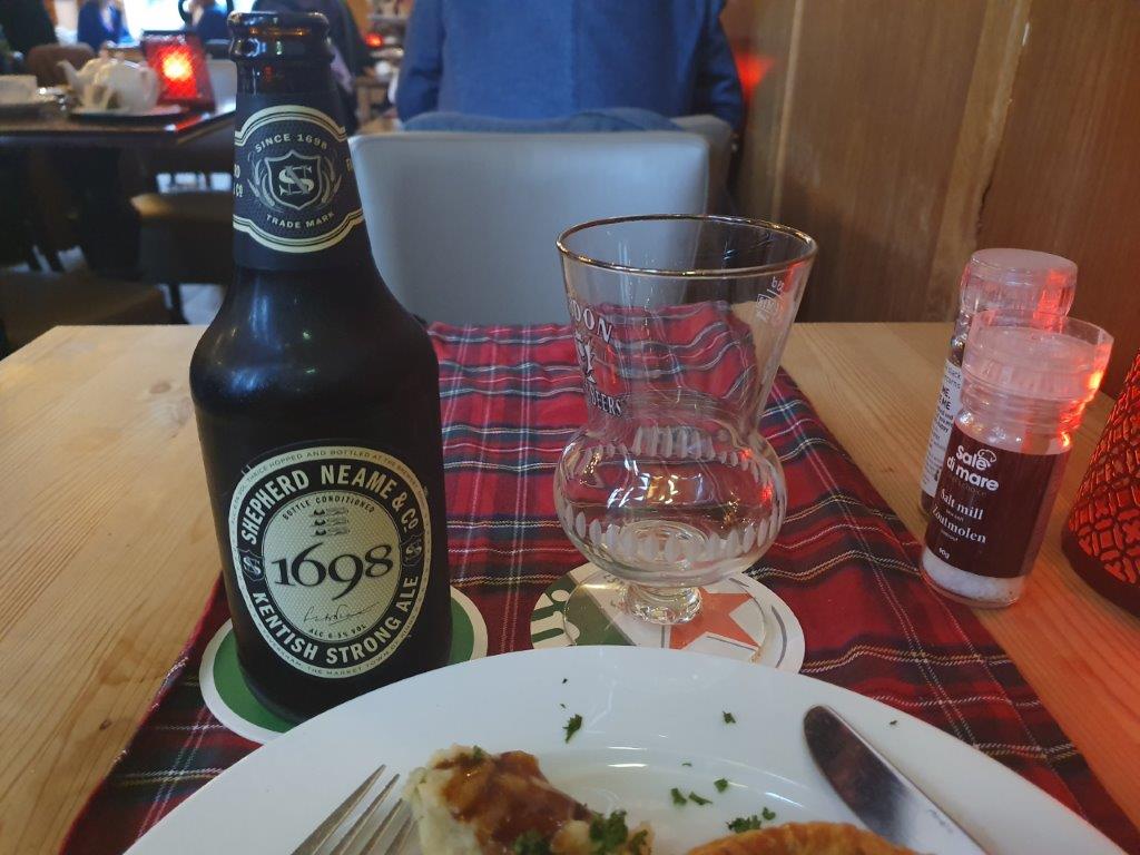
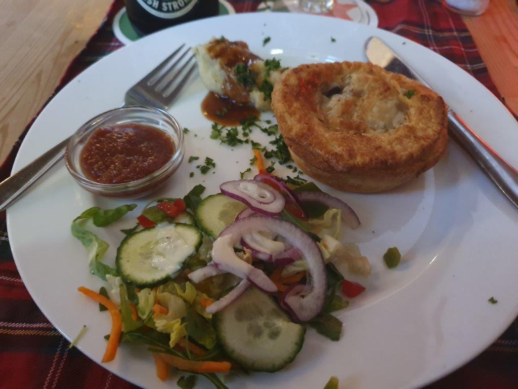
The Wallstreet Tearose
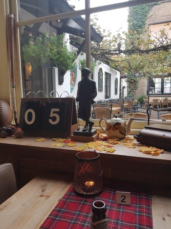
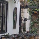
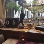
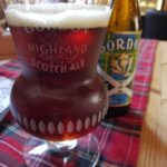
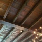
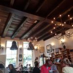
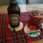
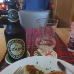
After the Dickens Cabinet, you’ll reach the terrace (in Summer) of The Wallstreet Tearose, An English/Scottish tearoom, suitable for drinks (the list of teas from all over the world is very impressive, high teas (icluding scones and small pstries), breakfast, lunch and diner. The menu boasts Haggis, Ploughman’s platter, Guinness Steak Pie, etcetera. They also heve a collection of English and Scottish beers.
For the children and the young at heart, there is a book corner with children’s books containing classics like: Paddington Bear.
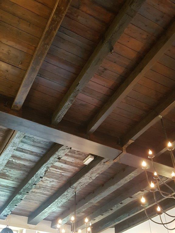
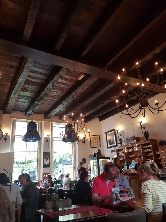
Another reason to go though is the awesome English/Scottish interior…
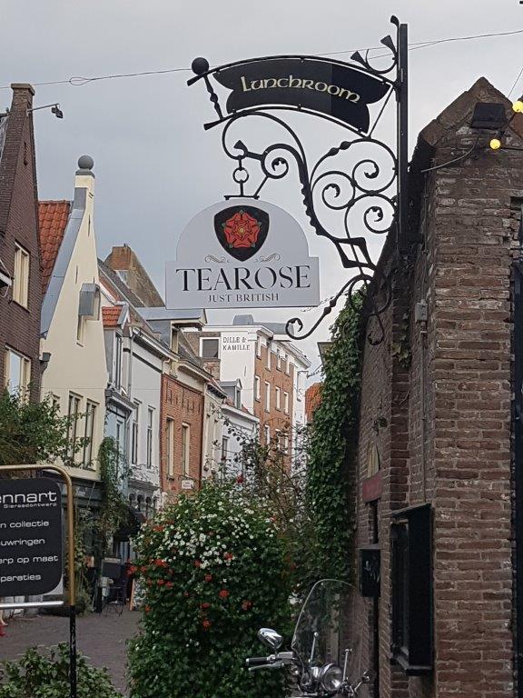

Website: Tearose


Also worth a visit is the Dickens Cabinet…
Dickens Cabinet
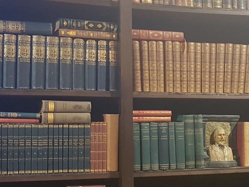
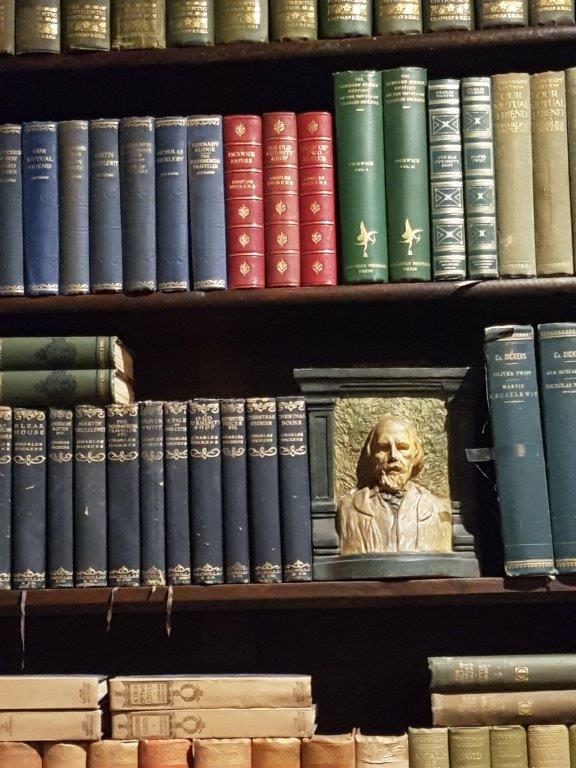
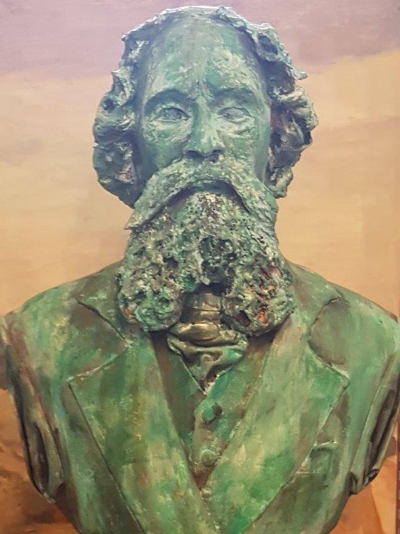


Website: Dickens Cabinet
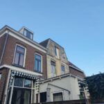
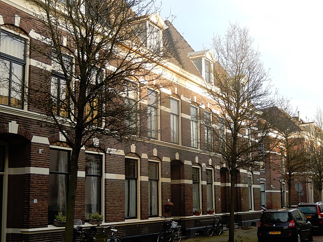
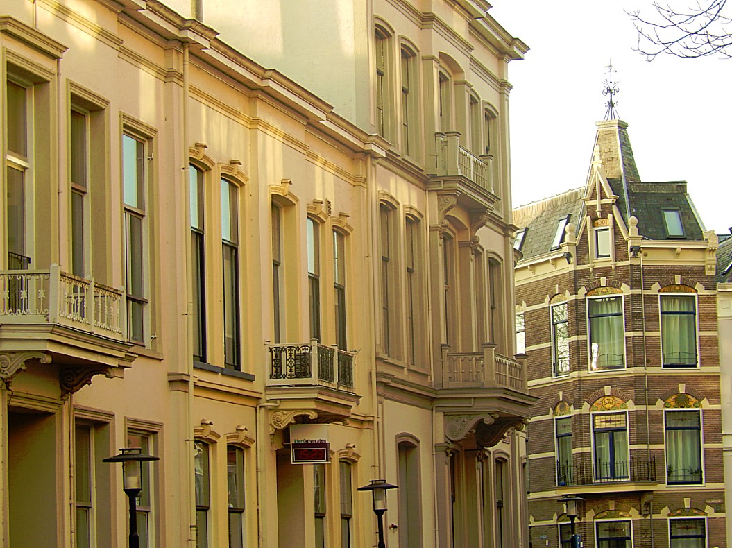
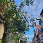
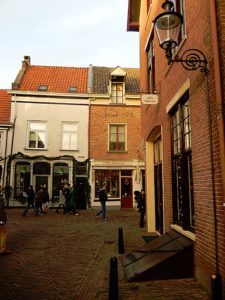
![]() After leaving the iron gate, turn right into the Walstraat (Wall street). The name of this pretty street full of small cosy shops, means embankment street. It was the street that bordered the inner moat.
After leaving the iron gate, turn right into the Walstraat (Wall street). The name of this pretty street full of small cosy shops, means embankment street. It was the street that bordered the inner moat.
Walstraat
The Walstraat is a street in the Dutch city of Deventer. It followed the northeast part of the city wall and the city wall in the old days. The street starts at the Bergkerkplein, at the foot of the Bergkerk, and runs up to the Keizerstraat. Side streets that end up are Damstraat and Golstraat. The street used to link the Brinkpoort with the Bergpoort. There are many restored old buildings in the street.

 The Walstraat was heavily impoverished in the sixties. Nowadays there are many small stores in the higher market segment. The street is part of the completely restored historic Bergkwartier. This is where the Deventer Dickens Festival is held annually in December. Hundreds of residents and others can be seen on the streets in Victorian clothing. In that party weekend, more than 100,000 people visit the Walstraat. It is also the most important pedestrian connection between the center of Deventer and the shopping area on the grounds of the former Boreel barracks.
Website: https://dickensfestijn.nl/
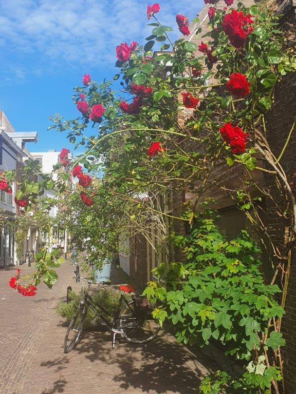
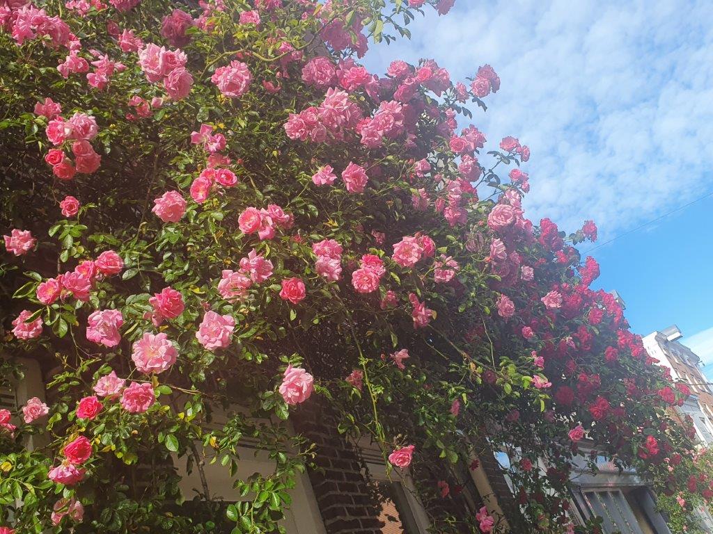
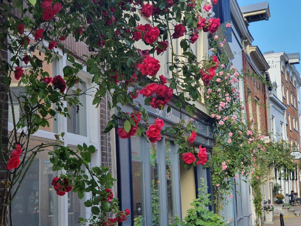
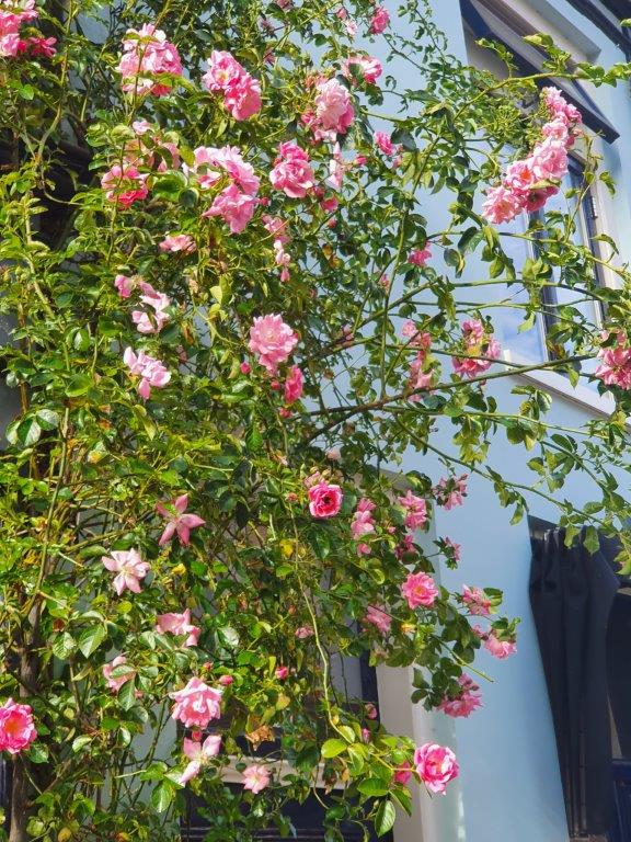
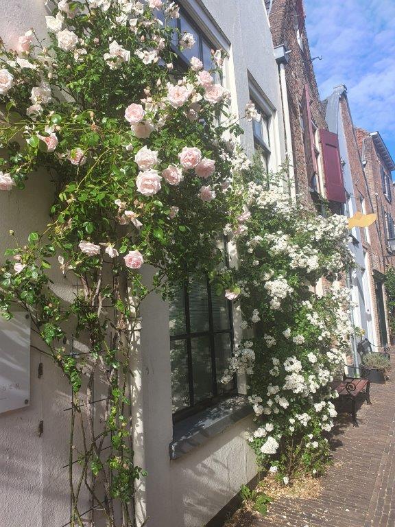
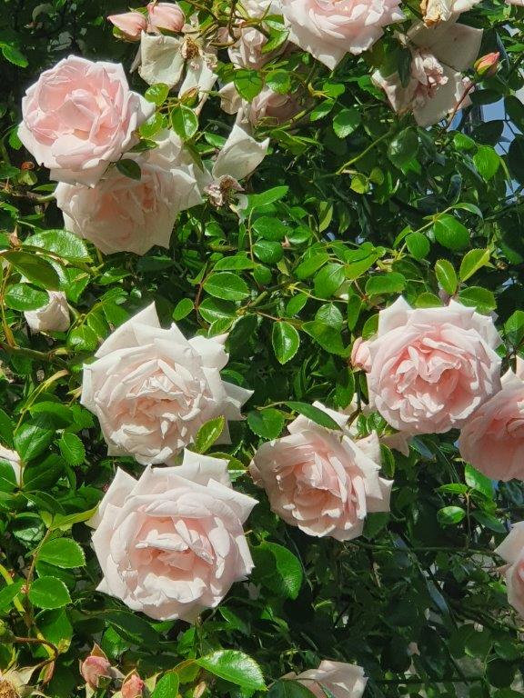
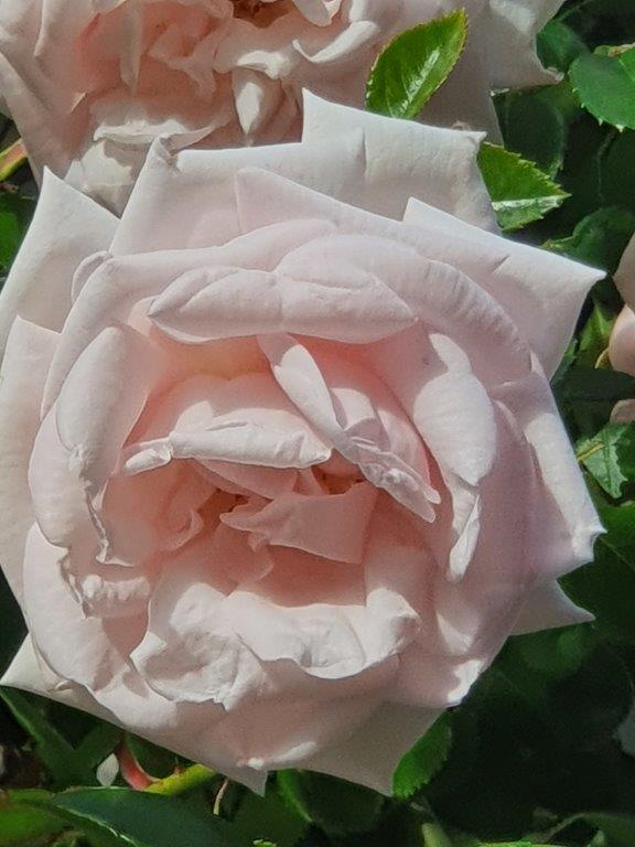
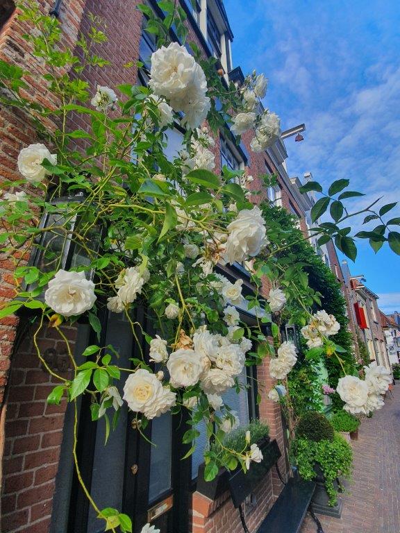
In Spring the Walstraat is very much worth a visit too. The roses are growing upwards against the walls of the ancient merchant houses and when they are in full bloom, the street is just picture perfect…
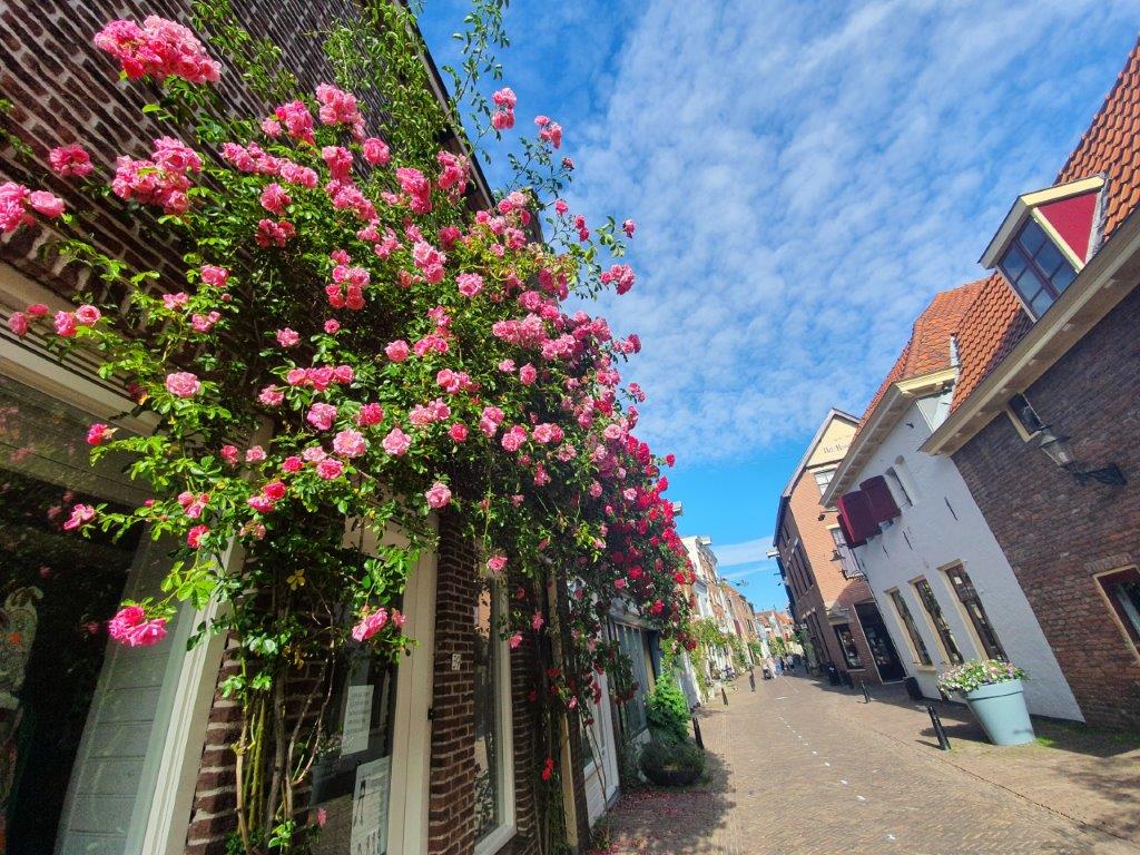
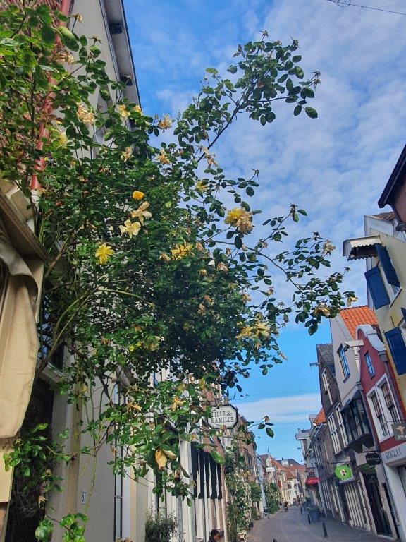

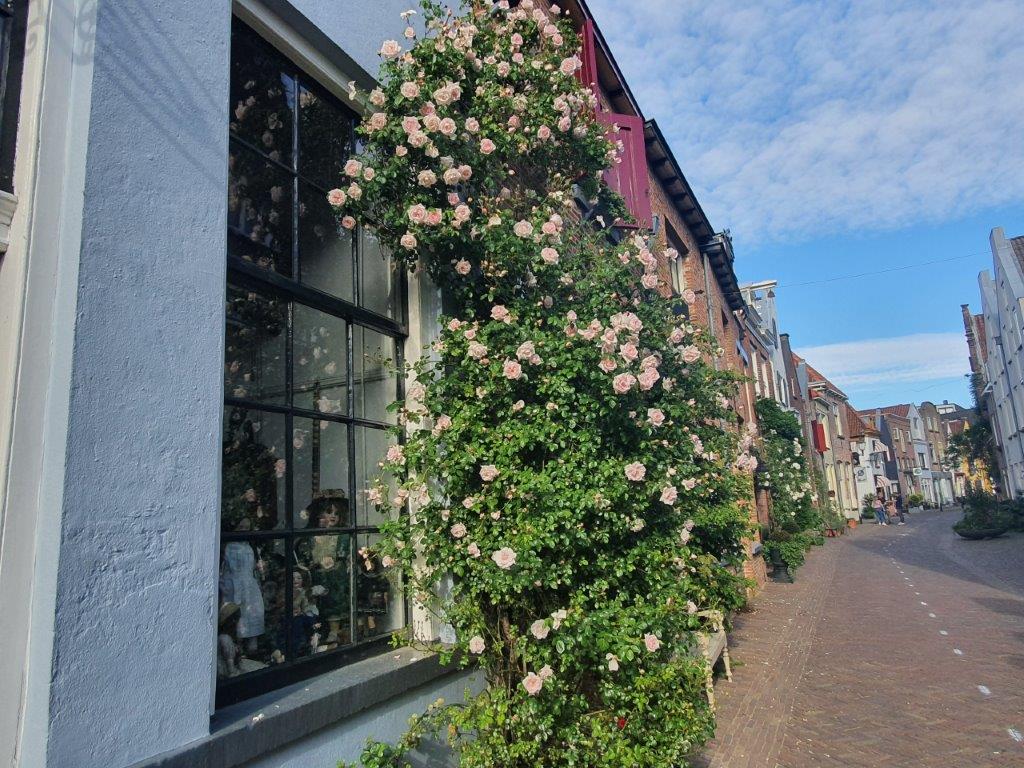

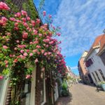

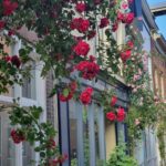
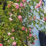
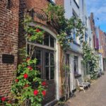
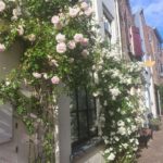


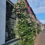


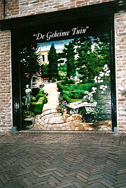
Walking through the Walstraat, you’ll notice left and right several beautiful mostly, but not exclusively, Charles Dickens related paintings on garage or electricity cabin doors…
![]() Follow the Walstreet until you pass the Gollstraat to the right. A few metres further to the left is the shop named “Dille en Kamille”. Enter the shop.
Follow the Walstreet until you pass the Gollstraat to the right. A few metres further to the left is the shop named “Dille en Kamille”. Enter the shop.
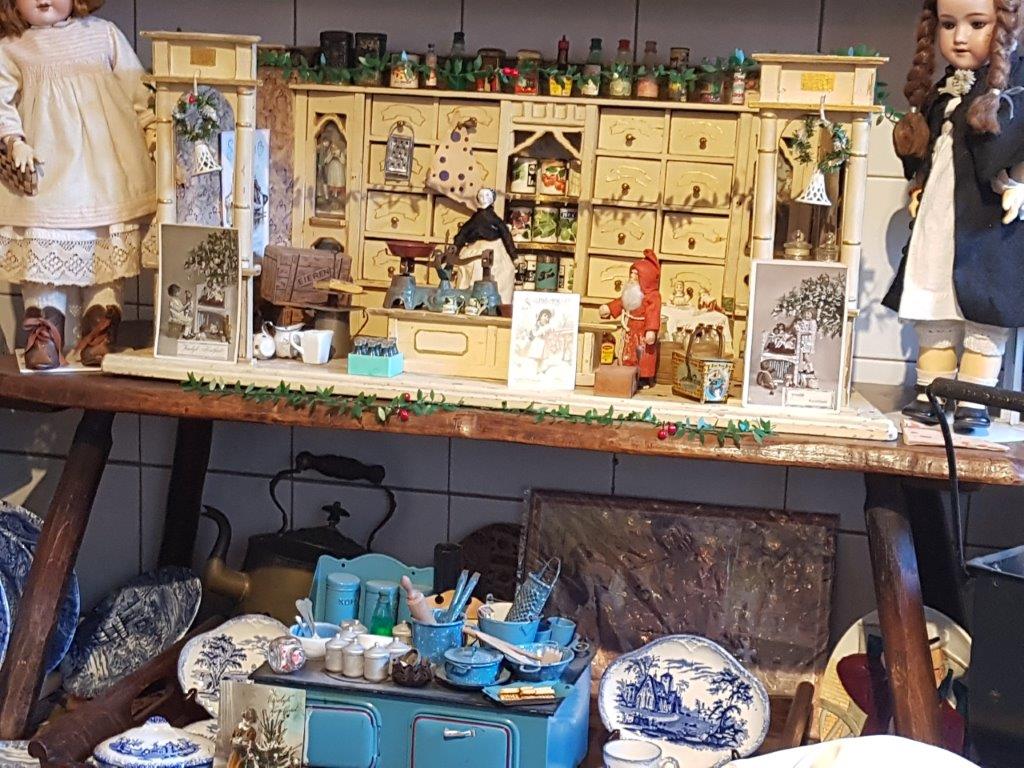
Dille en Kamille

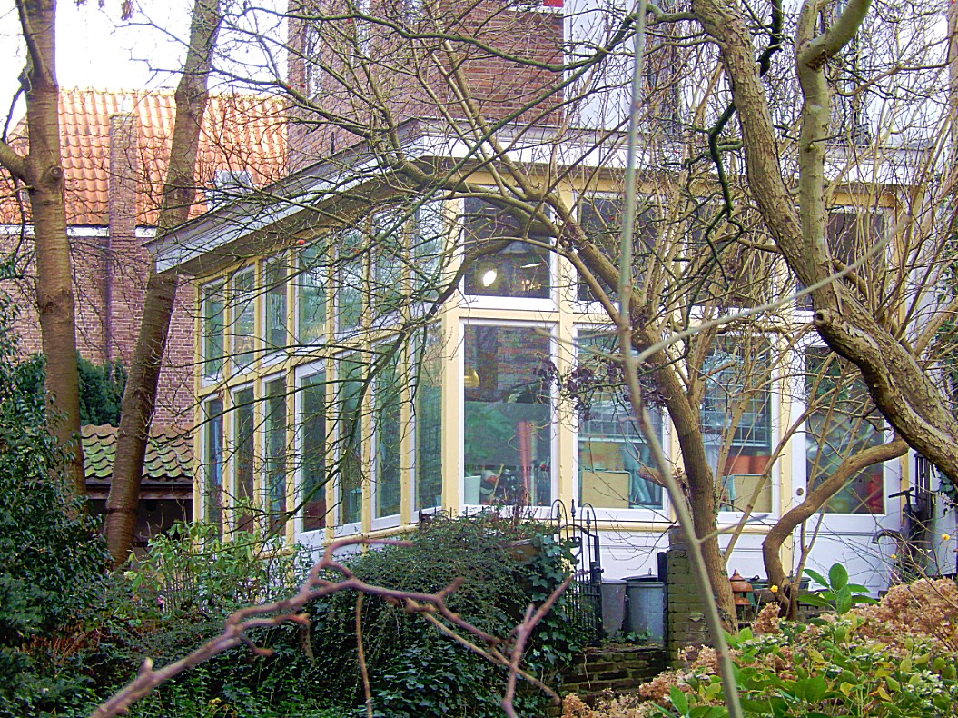
 Dille en Kamille is a shop selling all kind of sustainable Household items. In the back of the shop is a conservatory where you have another view on the ineer moat. Enjoy the shop and then leave as you came.
Website: https://www.dille-kamille.nl/nl/content/118/deventer/
![]() Leave Dille and Kamille and turn left, to follow Walstreet. Follow the road until you reach Damstraat (Dam Street) to the left. Turn left into Damstraat. and follow it until the end.
Leave Dille and Kamille and turn left, to follow Walstreet. Follow the road until you reach Damstraat (Dam Street) to the left. Turn left into Damstraat. and follow it until the end.
Damstraat

 Damstraat is named after a Dam construction in the inner moat which once was located in this spot. The billart cafe in de Walstraat is named after that Dam too.


Leave Damstraat and turn right. You’re on the Pikeursbaan again. Follow this street until it changes into the Houtmarkt.
Houtmarkt
The Houtmarkt (wood market) was the location where wood coming from trade ships in the old harbour (which is drained also), got piled before it was transported into town through the Bergpoort.
![]() Keep following the Houtmarkt until you reach the Emmaplein (roundabout). Go left for a few metres into the Kazernestraat (Barrack Street) until to your left you’ll reach the Boreelplein. To your right you’ll see a street on the other side of the Kazernestraat. This is The Bergpoortstraat. The Outer Bergpoort was approximarely located at this spot. There is also an Inner Bergpoort which was the gate into town located next to the old school building on the Houtmarkt at the entrance of the Bergkerkplein. If you’d walk on for a little bit, you’d reach the outer moat again. Do that, enjoy some views and turn or turn around now and enjoy the view while walking back towards the Emmaplein.
Keep following the Houtmarkt until you reach the Emmaplein (roundabout). Go left for a few metres into the Kazernestraat (Barrack Street) until to your left you’ll reach the Boreelplein. To your right you’ll see a street on the other side of the Kazernestraat. This is The Bergpoortstraat. The Outer Bergpoort was approximarely located at this spot. There is also an Inner Bergpoort which was the gate into town located next to the old school building on the Houtmarkt at the entrance of the Bergkerkplein. If you’d walk on for a little bit, you’d reach the outer moat again. Do that, enjoy some views and turn or turn around now and enjoy the view while walking back towards the Emmaplein.
Kazernestraat/City Walls
 This spot, looking from the Kazernestraat towards the largest piece of remaining City Walls and the Bergkerk on top, is quite a spectacular view. The walls are build around the 2nd and highest of the sand dunes on which early Deventer was build. The names Bergkwartier, Bergkerk, Bergstraat, Bergpoortstraat, Bergsingel en Bergschild (but also Noordenbergkwartier, (Korte) Noordenbergstraat, Noordenbergsingel en Noordenbergschild) all contain the word Berg. In English Berg is mountain, but the dutch used the word very creatively to deschribe not only mountains, but also larger hills (Vaalserberg, Holterberg, Grebbeberg) and in this case even sand dunes. The most creative use of the word Berg translated into English as mountain, was thought of by a Dutch pop band, who named their song: “In the Dutch mountains” (By: The Nits). The Netherlands have no mountains, so what it actually means is “Between the multiple storied buildings of a Dutch city”. Great fun 🙂
In the Dutch mountains
I was born in the valley of bricks
Where the river runs high above the rooftops
I was waiting for the cars coming home late at night
From the Dutch mountains
I was standing in the valley of rock
Up to my belly in an early fog
I was looking for the road to a green painted house
In the Dutch mountains
In the Dutch mountains
Mountains
I met a woman in the valley of stone
She was painting roses on the walls of her home
And the moon is a coin with the head of the queen
Of the Dutch mountains
Mountains
I lost a button of my shirt today
It fell on the ground
And it was rolling away
Like a trail leading me back
To the Dutch mountains
To the Dutch mountains
Mountains
I met a miller on the back of a cow
He was looking for the wind but he didn’t know how
I said: Follow the cloud that looks like a sheep
In the Dutch mountains
In the Dutch mountains
In the Dutch mountains
Mountains
Mountains
Buildings
Songwriters: Hendrik Hofstede / R. Kloet / Robert Stips
Songteksten voor In the Dutch mountains © Sony/ATV Music Publishing LLC
Binnen-Bergpoort
The Bergpoort was originally a city gate of the Dutch city of Deventer. Since 1885, the 17th-century outer gate is in the garden of the Rijksmuseum in Amsterdam.

The (old) Binnen-Bergpoort (Binnen is means Inner) came from the Middle Ages and was probably built in the first half of the 14th century. In 1619 a new outer gate was added. This new Buiten-Bergpoort was the last built of the three outer gates that formed part of a new defense belt that was built between 1597 and 1634. The (Buiten-) Bergpoort was about halfway the current Kazernestraat. The sculpture on this gate was designed in 1619 by the famous Amsterdam architect Hendrick de Keyser. The sculptures are a rare example of the style that is called the Dutch Renaissance. In 1813, just before the siege of Deventer, the Bergpoort was bricked up by Napoleonic French troops and put into use as ammunition storage. The bricked-up gate would not be broken again until 1823.
The Bergpoort was demolished in 1880, when Deventer received permission from the government to demolish the fortifications. The gate was found to be too narrow for the increasing traffic. The government did want the natural stone blocks and carved parts. The Rijksmuseum in Amsterdam came into possession of the parts and applied them to a newly built gate. Nowadays it can still be seen in the garden of the Rijksmuseum, where he is back to back with the Herepoort from Groningen.
Several attempts have been made to get the Bergpoort back to Deventer again, but these have all failed. In 1990, a replica of the Bergpoort was placed on the Emmaplein. This was demolished again in 2009.
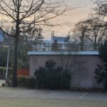
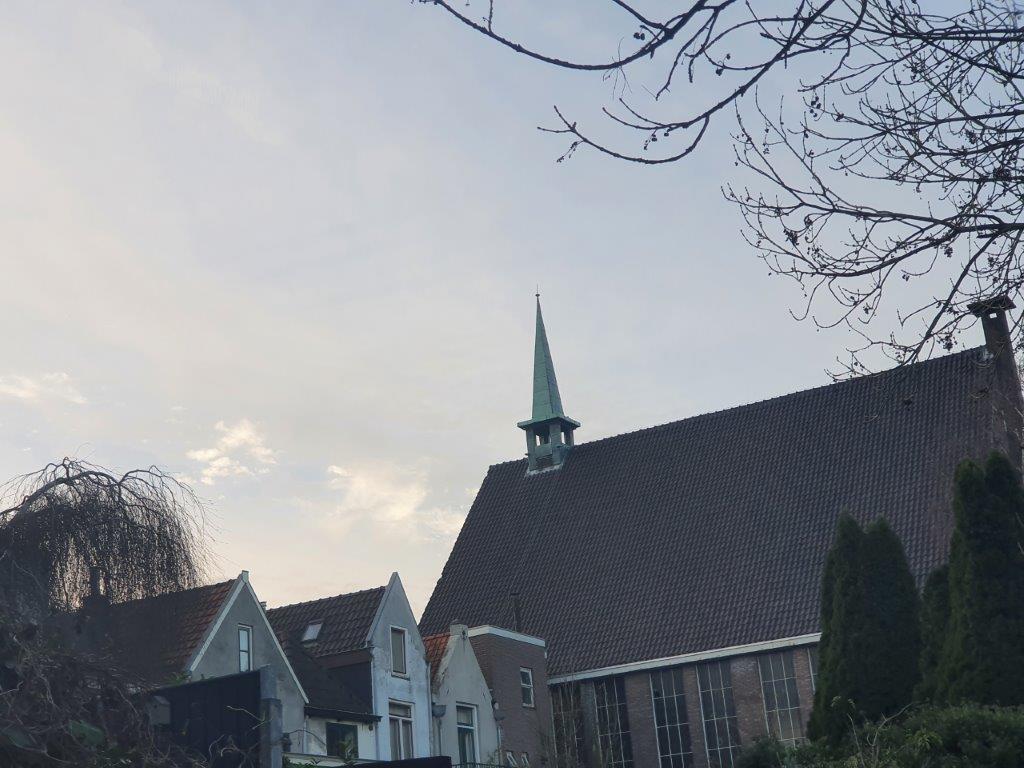
![]() Walk back to the Emmaplein and walk around lcounterclockwise. Pass the Houtmarkt on your right, then pass the Bergkerkplein on your right, pass the Bergschild on your right and the turn right into the Emmastraat and immediately after leaving the roundabout, turn right again and climb the stairs. Now your on the Bergschild and you have entered the famous historic Bergkwartier. Turn left and climb the Bergschild until the houses on your right suddenly retreat a short distance from the street. Turn right towards those retreated houses and look right for a stone stair. Climb those stairs to the top.
Walk back to the Emmaplein and walk around lcounterclockwise. Pass the Houtmarkt on your right, then pass the Bergkerkplein on your right, pass the Bergschild on your right and the turn right into the Emmastraat and immediately after leaving the roundabout, turn right again and climb the stairs. Now your on the Bergschild and you have entered the famous historic Bergkwartier. Turn left and climb the Bergschild until the houses on your right suddenly retreat a short distance from the street. Turn right towards those retreated houses and look right for a stone stair. Climb those stairs to the top.
Bergkwartier
 The Bergkwartier is a neighborhood in the center of the Dutch city of Deventer. The neighborhood is located on an old river dune at the former mouth of the Schipbeek in the IJssel. On this dune, the St. Nicholas or Bergkerk was built in the Middle Ages. The Schipbeek formed the southeastern border of the Bergkwartier, where a part of the port of Deventer was located. In addition to wood and other goods, herring was also traded here, to which the street name Bokkingshang refers. On the other side of the Schipbeek was the Raambuurt, where during the industrialization factories arose. Many workers from these factories lived in the Bergkwartier, where large often medieval buildings in the nineteenth century were divided into single-room dwellings. In between areas were also filled with dwellings, causing the notorious corridors or slums to arise. On the west side, the neighborhood is demarcated by the central square of the Hanseatic city: the Brink.
The area was freely accessible from the city, but was surrounded by a city wall and a moat in the north and east. The Brinkpoort in the north, the Zandpoort in the southeast and the Bergpoort in the northeast formed the connections with the outer areas. The Bergpoort is partly attributed to Hendrick de Keyser and is currently in the garden of the Rijksmuseum in Amsterdam.
The Sint-Nicolaas or Bergkerk was not the only religious building in the neighborhood. In the Golstraat you can see the Great Synagogue of Deventer, which was built in 1892 by the design of the city architect Jan Anthony Mulock Houwer. After the building was used by the Christian Reformed Church in the period from 1951 to 2010, the synagogue was re-initiated in 2010 for Jewish services. At the Muntengang until 2012 the former coin building, where the Deventer currency was minted, was used by the New Apostolic Church. This historic building was largely rebuilt after the Second World War by Wout Knuttel.
In addition to the activity in the Raambuurt, the Bergkwartier also had an emerging business sector. The Deventer Capsule factory was the largest factory in the area, with the chimney remaining at the Prinsenplaats.
After the Second World War, the Bergkwartier was a wasted neighborhood. Under the responsibility of Minister Marga Klompé, in 1967 it was decided to release money for renovation. In 1969, the restoration was largely completed. Many buildings in the Bergkwartier have been designated by the government as a national monument. Nowadays the neighborhood attracts tourists to the city with its picturesque appearance and the annual Dickens Festival takes place here in December. De Walstraat is a street that has largely been developed on private initiative and has many small shops with a specialist range. This street forms the connection between the old center of Deventer and the large-scale shopping area at the former Boreel barracks.
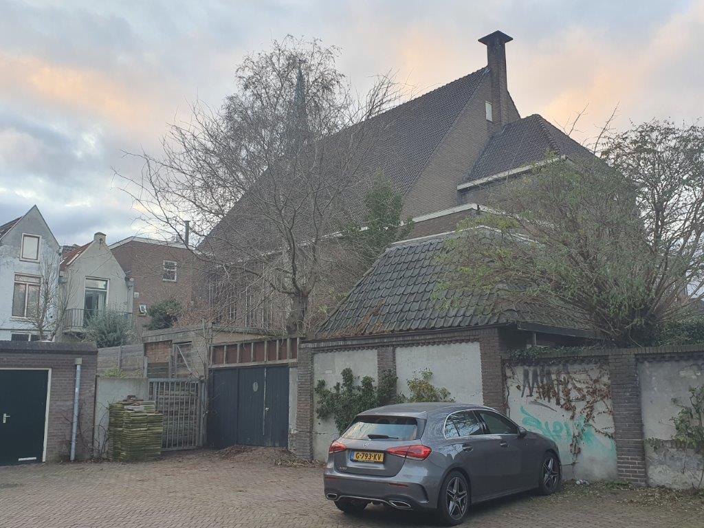
![]() On top of the stairs turn left and climb the Bergschild until the houses on your right suddenly retreat a short distance from the street. Turn right towards those retreated houses and look right for a stone stair. Climb those stairs to the top.
On top of the stairs turn left and climb the Bergschild until the houses on your right suddenly retreat a short distance from the street. Turn right towards those retreated houses and look right for a stone stair. Climb those stairs to the top.
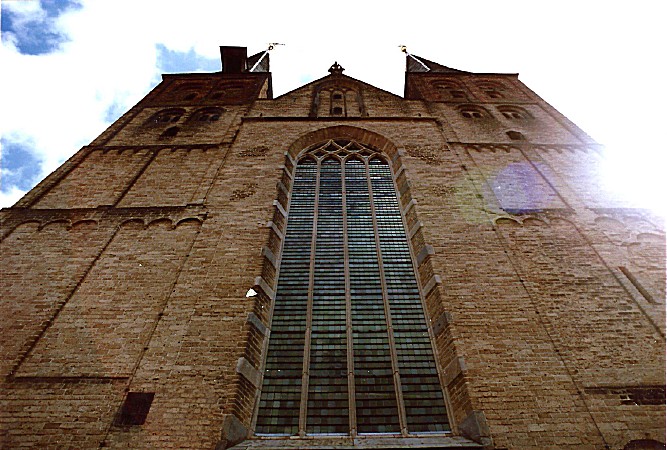
Bergkerkplein
 You’ve now reached the top of the Dune and you’re on the high part of the Bergkerkplein. This is historic mediaeval Deventer probably at its best. Enjoy the views on the surrounding monuments. Yo’ve now experienced the height difference between the old harbour level and the top of the highest sand dune and I hope this explains to you why people first inhabited these dune tops in a time when the river flooded several times per year.
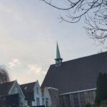
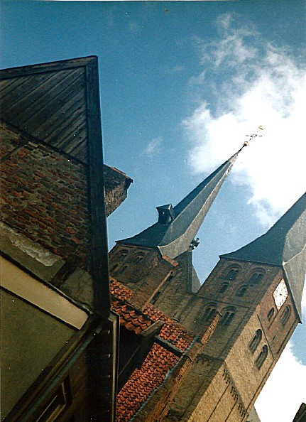
Bergkerk, Sint Nicolaaskerk
 The St. Nicholas or Bergkerk in Deventer is originally a Roman basilica and is located on an old river dune in the Bergkwartier.
The Bergkerk was built in the years 1198-1209, near the then Deventer harbor quarter. It was founded in the heyday of the Hanseatic city by Norbertines from the Westphalian Varlar (near Coesfeld). The church, a Romanesque basilica, was dedicated to Saint Nicholas, the patron saint of the captains. The building is very similar to churches from the Baltic Sea countries. It was inaugurated by the Bishop of Livonia.
In the 15th century the Bergkerk underwent several renovations which gave it a late Gothic character. The two characteristic spiers were built during that period (the lower part of the towers is still original).
In 1580 the church passed into the hands of the Protestants; from then on the building was from the Dutch Reformed Church. The interior was, as usual, immediately stripped of the Catholic characteristics. The wall and vault paintings disappeared under a layer of whitewash.
 There is a legend that describes why the the Bergkerk was constructed as it is. Two Deventer sisters, Martha and Beatrix, were impressed by a knight who had come to Deventer. They both fought for the favor of this man. Beatrix eventually married the knight, leaving Martha alone. Martha then had the church built with the two towers, one a little higher than the other, since both sisters also differed in length. This would explain the alleged difference in height between the two west towers.
“In memory of the love of my sister and me, I want to make a building of my church on the mountain, two towers will be built on it, one slightly larger than the other, two children of one father alike, and inseparable. Thus will forever be the thought of our love and after our death at least there will be two sisters who will not leave each other. “
During a major restoration from 1915 to 1924, led by Wolter te Riele, the old paintings were once again exposed and restored. The paintings on the east wall of the ancient Romanesque transept date from the early 13th century. In 1967 the church was sold by the church board for the symbolic amount of 1 guilder to the municipality of Deventer, which assumed the responsibility for the costly maintenance. In 2010, restoration work was carried out on the towers of the church.
The current organ was built in the years 1841-1843 by the Deventer Johann Heinrich Holtgräve. Today the Bergkerk is used for exhibitions, meetings and concerts.

The church is used for exhibitions and concerts. Climate control and security meet the standards of the National Cultural Heritage Agency in 2016.

 You can visit the church.
![]() After enjoying the Upper Bergkerkplein and its small park, walk left around the church and descend via stone stairs to the Lower Bergkerkplein. Turn left into the Roggestraat.
After enjoying the Upper Bergkerkplein and its small park, walk left around the church and descend via stone stairs to the Lower Bergkerkplein. Turn left into the Roggestraat.
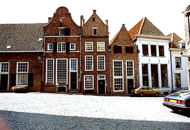
Roggestraat
The Roggestraat is loaded with monumental buildings. The name Roggestraat means Rye Street in English. In the middle Ages there was a Beer Brewery located in one of the farm houses on the left (Roggestraat 6). This is actually the backside of the building which has its front at Bergstraat 17. We’ll pass that in part 3 of our walk.
![]() Proceed towards the end of the Roggestraat and enjoy the fantastic view over Deventer’s largest square, The Brink.
Proceed towards the end of the Roggestraat and enjoy the fantastic view over Deventer’s largest square, The Brink.
Brink
De Brink is the monumental and central square in the old town of Deventer.
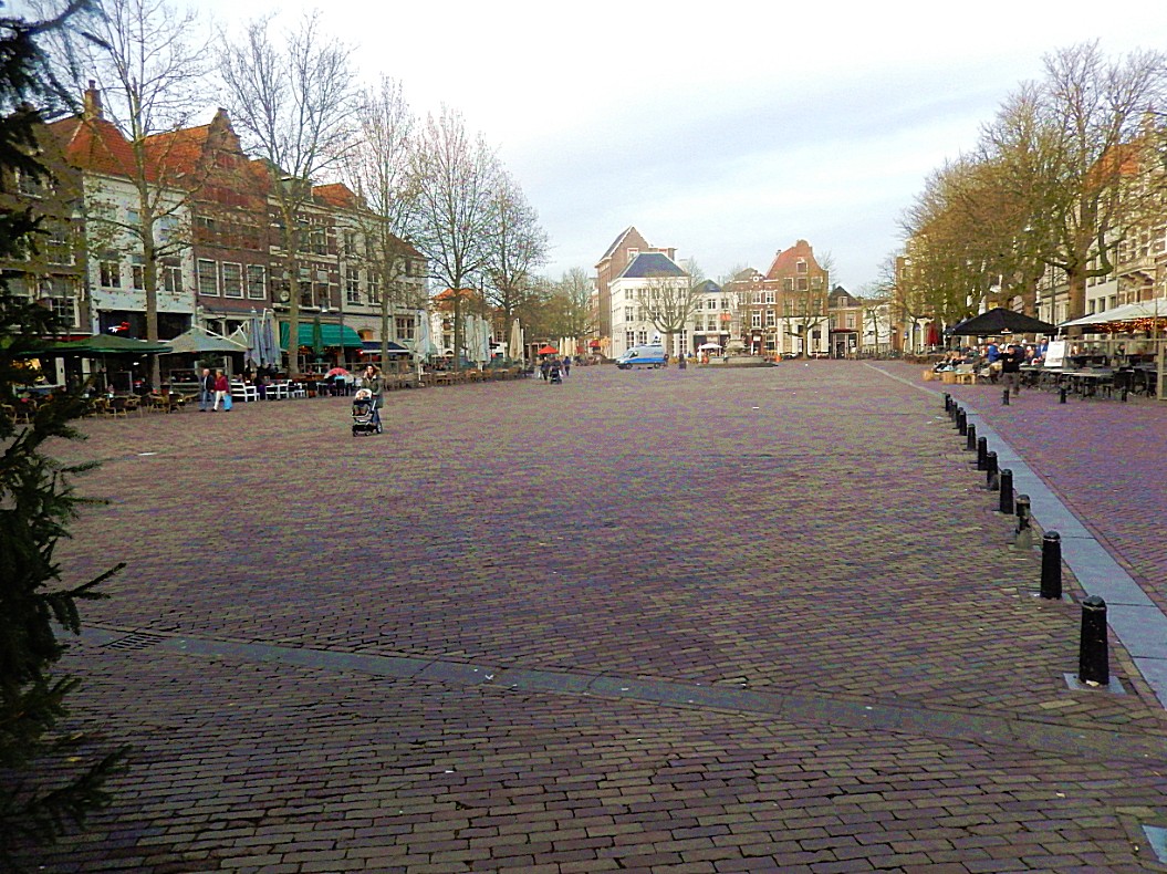
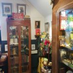
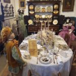
Here are the Waag in which the Historical Museum Deventer and the VVV are located, the Toy and Tin Museum, the house of Rutger Jan Schimmelpenninck, the former gatehouse Penninckshoek from 1583, and the house De Drie Haring.

 On the top floor of Museum The Waag is a maquette which shows the destruction of the large, destructive fires that burnt the wooden city down. Because of the early recognition by the Deventer city counsel, that wood as building material should be prohibited, the town has now some very old remaining stone buildings like De drie haringen.
On the square, the Wilhelmina fountain with the statue of the Deventer city virgin, in memory of the construction of the water pipe at the end of the 19th century. There is also an impressive bronze statue of Nobel laureate Albert Schweitzer.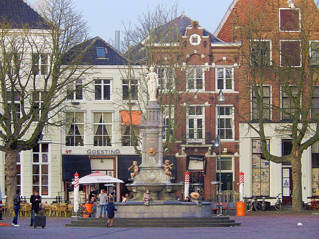
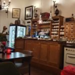
Around the Brink mainly catering establishments are located. There are many terraces. Here is also the Deventer cookie shop with Deventer cake from cake factory Jb Bussink. In the summer period there is “Play on the Brink” twice a week, a popular children’s activity. Also, larger events regularly take place on the square.
 A weekly market is held on Friday mornings and on Saturdays.
De Brink lies between the oldest district of Deventer and the somewhat later developed Bergkwartier. After the construction of the new city wall around 1350, an important part of shipping moved from the IJsselkade to the port in the mouth of the Schipbeek. The Brink, located near the river quay and harbor, became an important center for trade. Merchants from near and far came together to trade on the five major annual markets of Deventer. Since 1528, the Waag is also on the spot where much of the trade took place.
![]()
After a visit to the Cookie shop and walking around a bit, return to the entrance of the Roggestraat and then face the Brink. Now proceed to the description and map 3.
Deventer (the ultimate historic walk for history lovers in 4 parts) Part 3