Germany Hohes Venn / Eifel Nature Park: Monastery trail 22.4 km
Monastery Trail
The first of the longer trails The Wandelgek walked was the popular Monastery Trail. Why is it so popular and does it deserve its fame?

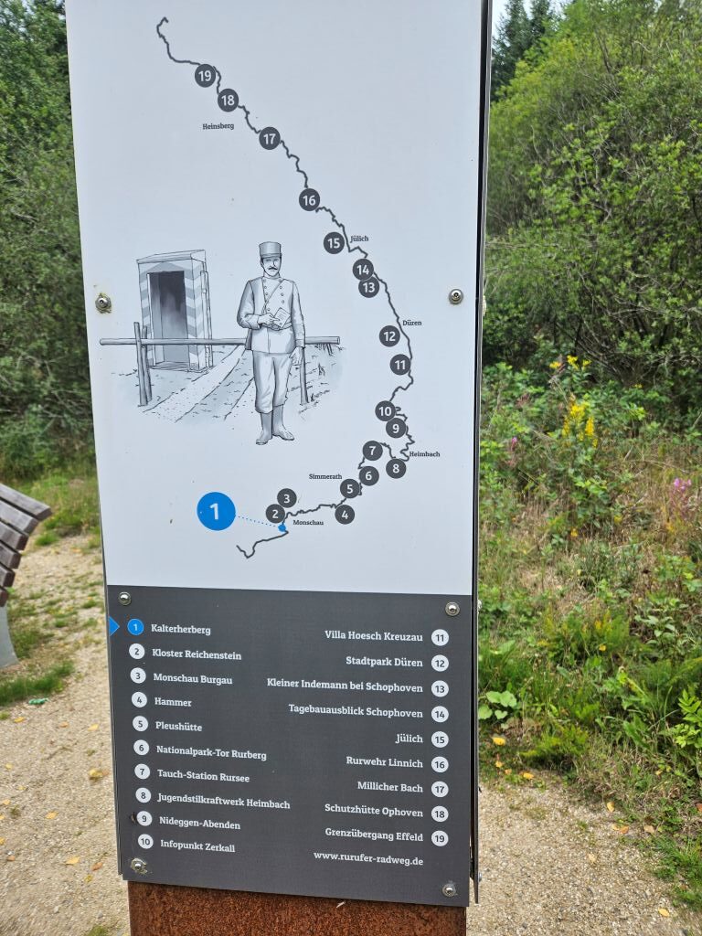
Monastery Trail map
The walk description we used was one that we gathered today in Monschau at the Fremdenverkehrsamt of the series:
- (65) Wanderbares Monschau: Unterwegs in Monschau. Der Kloster-Route, 21 km Wandertour.
This magnificent trail has a length of 22.4 km’s. Its elevation changes are moderate, 585m elevation gain to be precise and it will take up to 6–7hrs to finish this loop, starting and finishing in Monschau. It is not an easy trail, but I would say not a really heavy one either. Moderate to heavy might be a good categorization, depending on one’s physical condition.
In short:
The monastery trail is so attractive to many walkers because of its much more than average variation in landscape and its cultural interesting highlights as well. The trail in the beginning reaches again to the imposing rock of the Ehrensteinsley, which I visited yesterday when walking the much shorter; loop of the Peyo Weiss-Weg.
Next it follows the wild and romantic Rur valley, and goes through species-rich forest passages, before reaching the spacious pastureland around Kalterherberg with old rows of beech trees and hawthorn hedges and the Perlenbachtalsperre guarantee a varied landscape enjoyment. Flower and plant species typical of the different habitats line the path. An insider tip is the daffodil slope near Reichenstein, which turns into a sea of yellow blossoms in spring. Among the numerous sights, a cultural highlight is the former Premonstratensian monastery of Reichenstein with its water lily pond.
My thoughts on the trail
My wandering mate and I recently tackled the challenging Monastery Trail near Monschau in the German Eifel. This 23-kilometer loop trail packs over 600 meters of elevation gain, taking us through deep forests, impressive slate rock formations, open highlands, and along the banks of the Perlenbachtalsperre reservoir. The trail is named after the historic Monastery Reichenstein, the sole monastery you pass along the way.
Starting in a Sunny Monschau, my mate and I had risen early from our beds and had a breakfast at a local bakery before leaving the picturesque town of Monschau, which sits at an altitude of 430 meters. The town’s iconic timber-framed houses looked absolutely beautiful under the blazing sun. See more of Monschau in my previous blogpost:
Monschau city walk(s): Fairy Tale town in the German Eifel (High Fenn – Eifel Nature Park)
The summer heat hit us instantly even this early in the morning. It promised to be a sweaty yet energetic day of hiking. Near the local Brauhaus, we quickly picked up the official markers of the Monastery Trail.

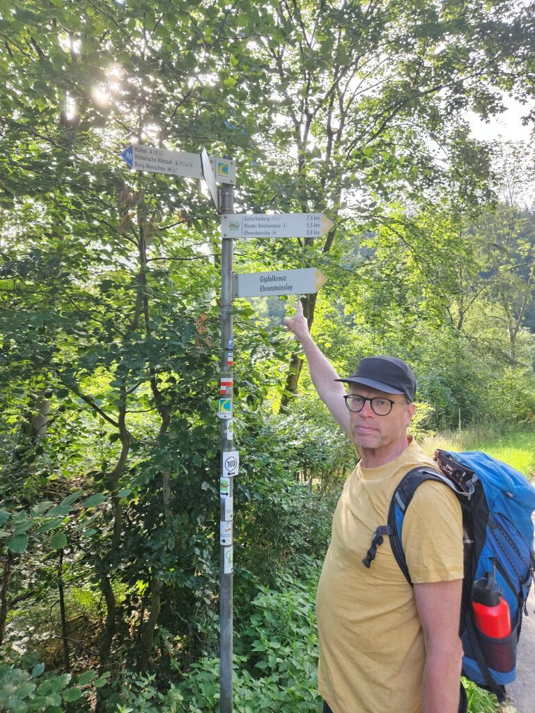
We first climbed toward the castle …
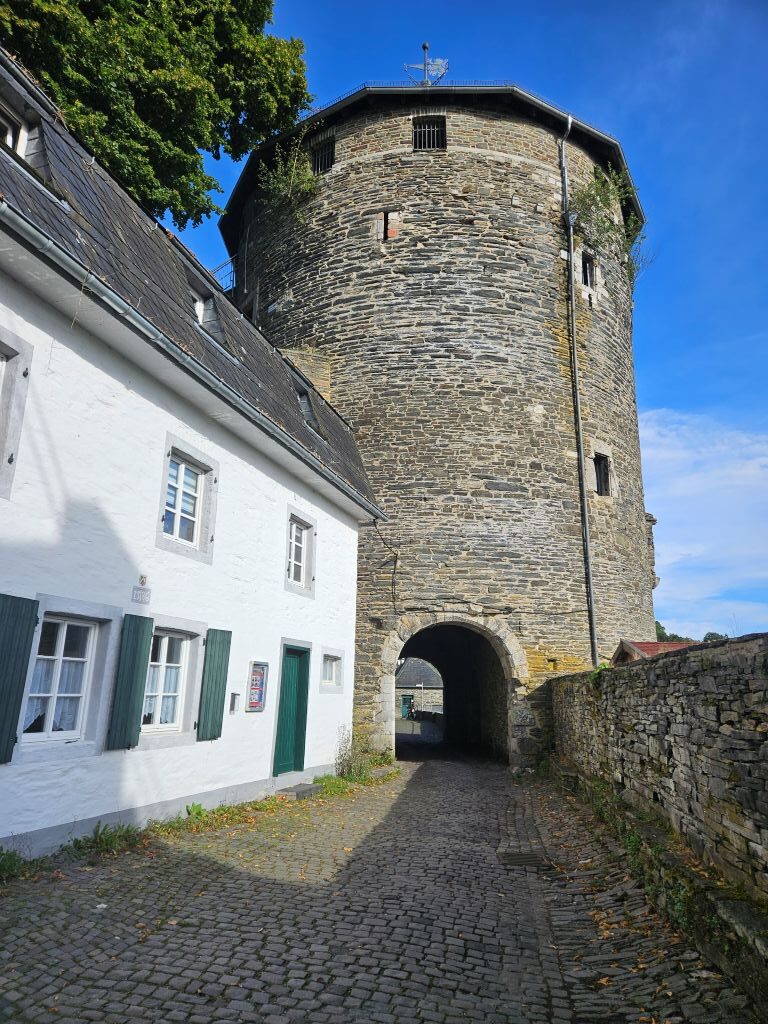
… from where the views over Monschau were magical …
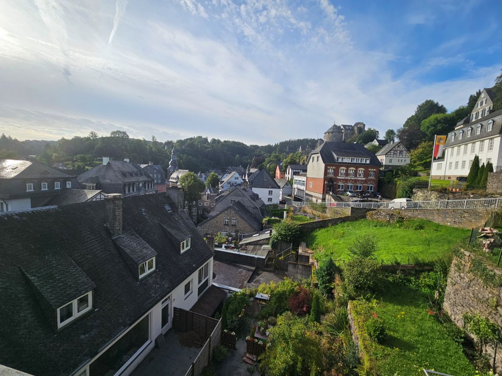
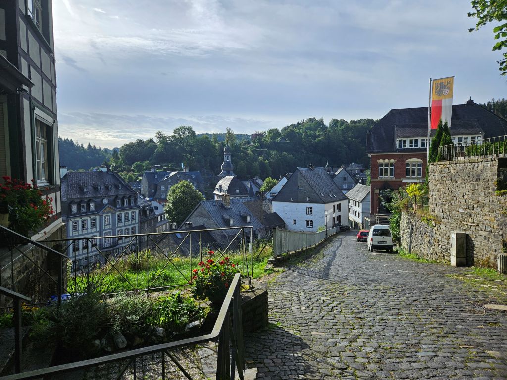

Almost immediately after that brief visit, we faced our first serious test: a steep, sweat-inducing climb, with some stairs included, …
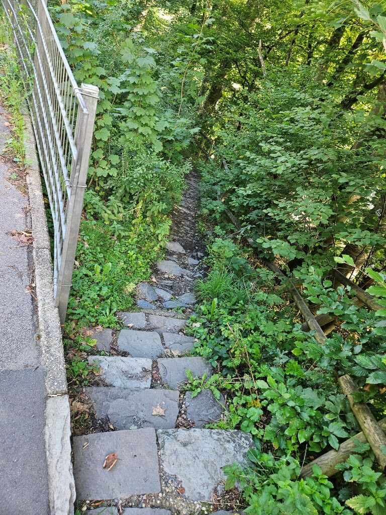
… of one hundred meters up to the striking rocky outcrop of the Ehrensteinsley, which we did on repeat after yesterdays climb.
 Standing at the top, we were rewarded with a spectacular panoramic view over the deep, sun-drenched valley.
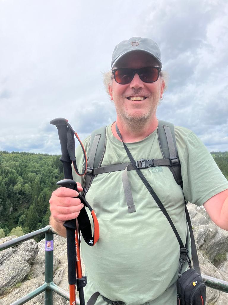
The descent that followed was a technical, dusty single-track trail, with some stairs too, that brought us down to the banks of the fast-flowing Rur.
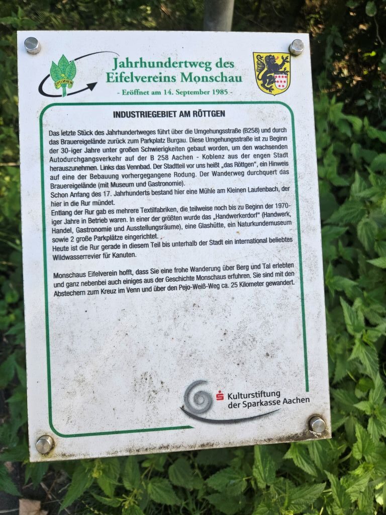
This area had been part of the lands of the Brauhaus and also was it a hub of the textil washers, because of the Rur and the reason why textil Industrie in Monschau got so big. Later during our walk along the Rur we would see quite more remnants of that.

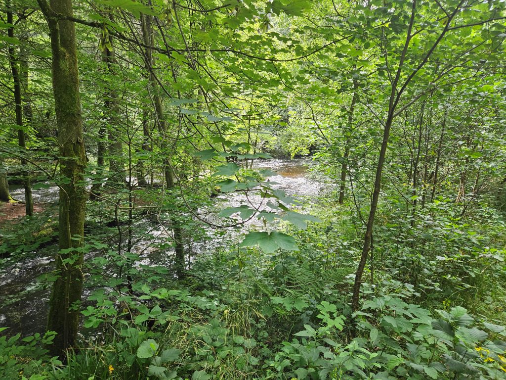
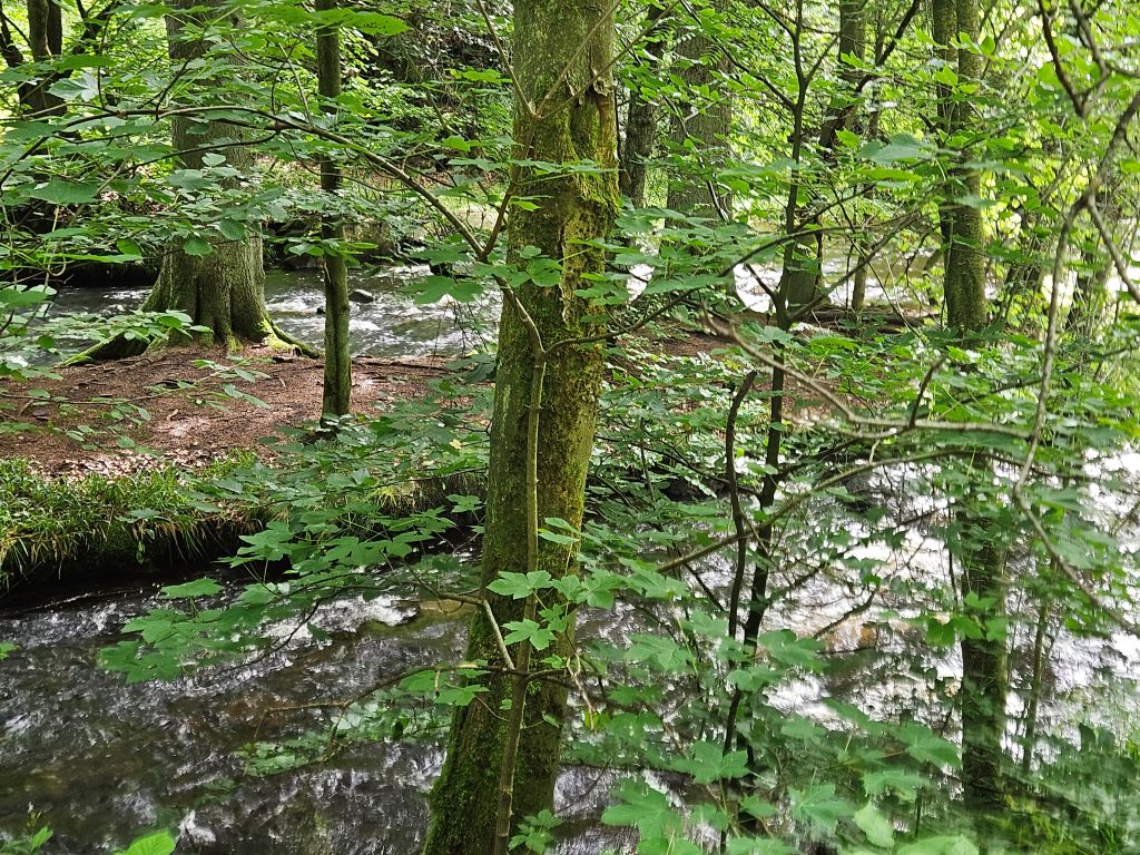
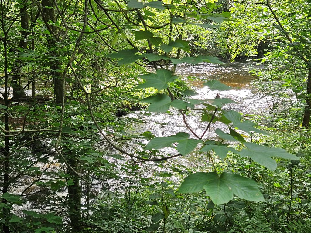
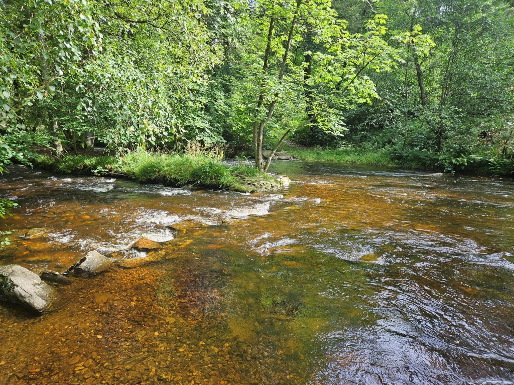
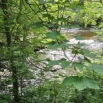
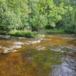
As we continued our way in the welcome shade of the riverbanks, a refreshing breeze offered some pleasant relief in the lush green landscape. The river and its plentiful splashing waters caused the environment to be lush, green forest with a large diversity of trees and other plants and it was cooling too on this hot sunny day…
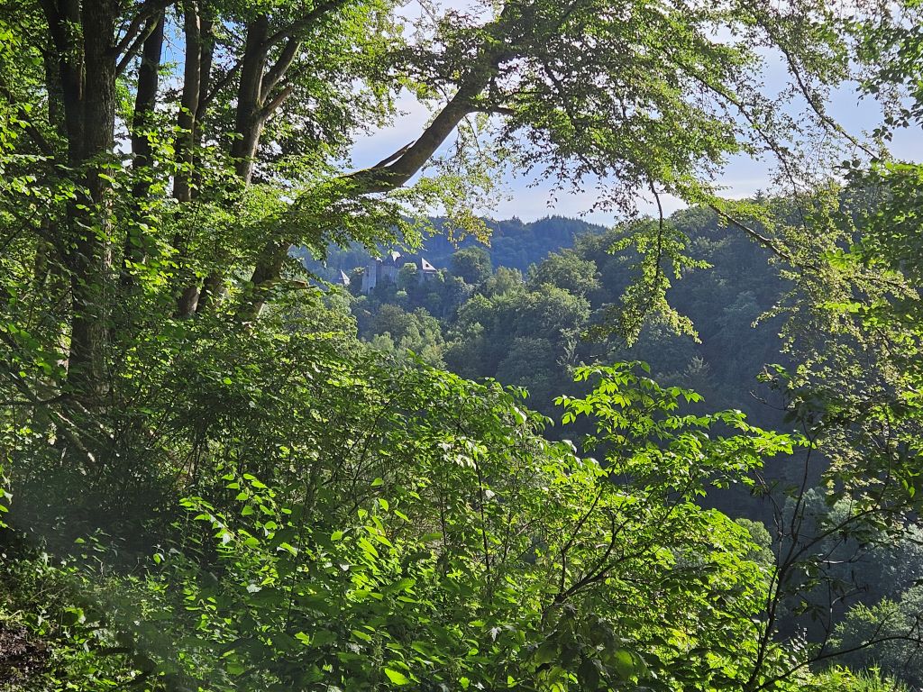







Norbertuskapelle (Chapel Sankt Norbertus)
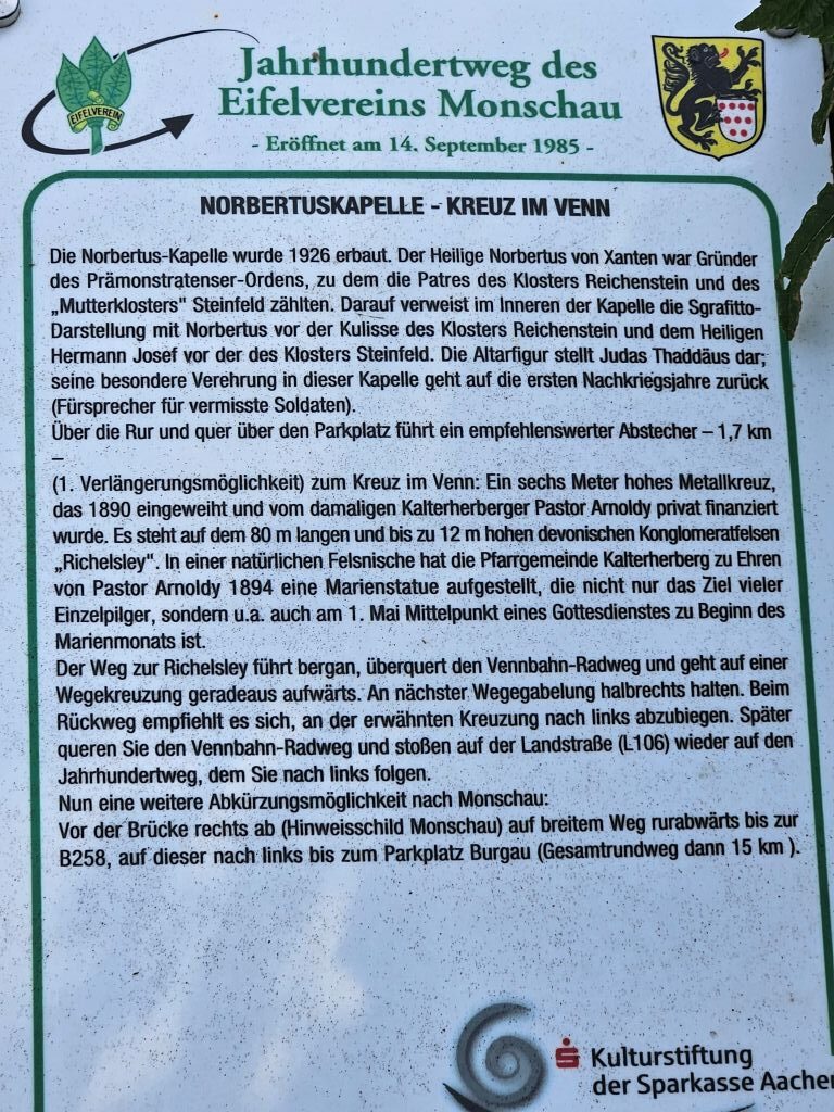
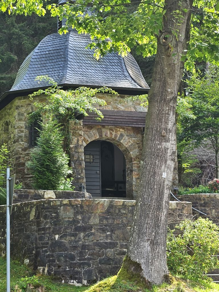
Just before reaching the Vennbahn, a bit south of Reichenstein monastery we came accross the peaceful Norbertuskapelle (Chapel Sankt Norbertus) nestled against a hillside …
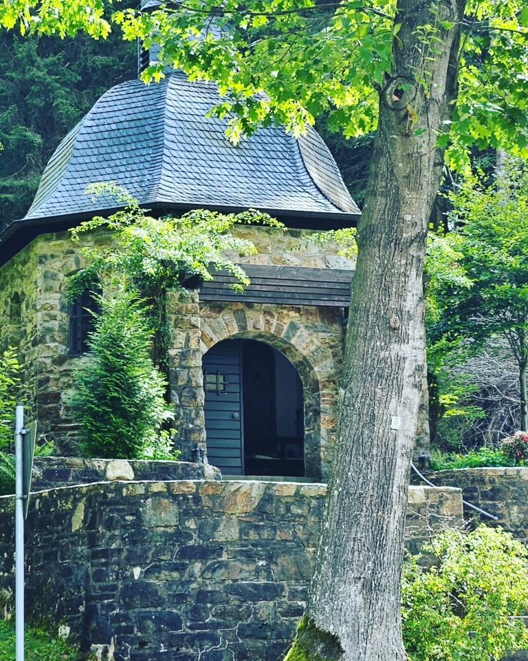
The chapel is highly recognizable due to its unique architectural style for the Eifel area. It is built as an octagon (eight-sided structure) out of local gray quarry stone (Bruchstein). It features a round-arched entrance, two symmetrical stone staircases leading to the doors, and a distinct, curved slate roof topped with a baroque onion dome (Zwiebelhaube).

Right outside the chapel, standing by the stone steps, a small, traditional wayside cross with a Jesus figure caught our attention.
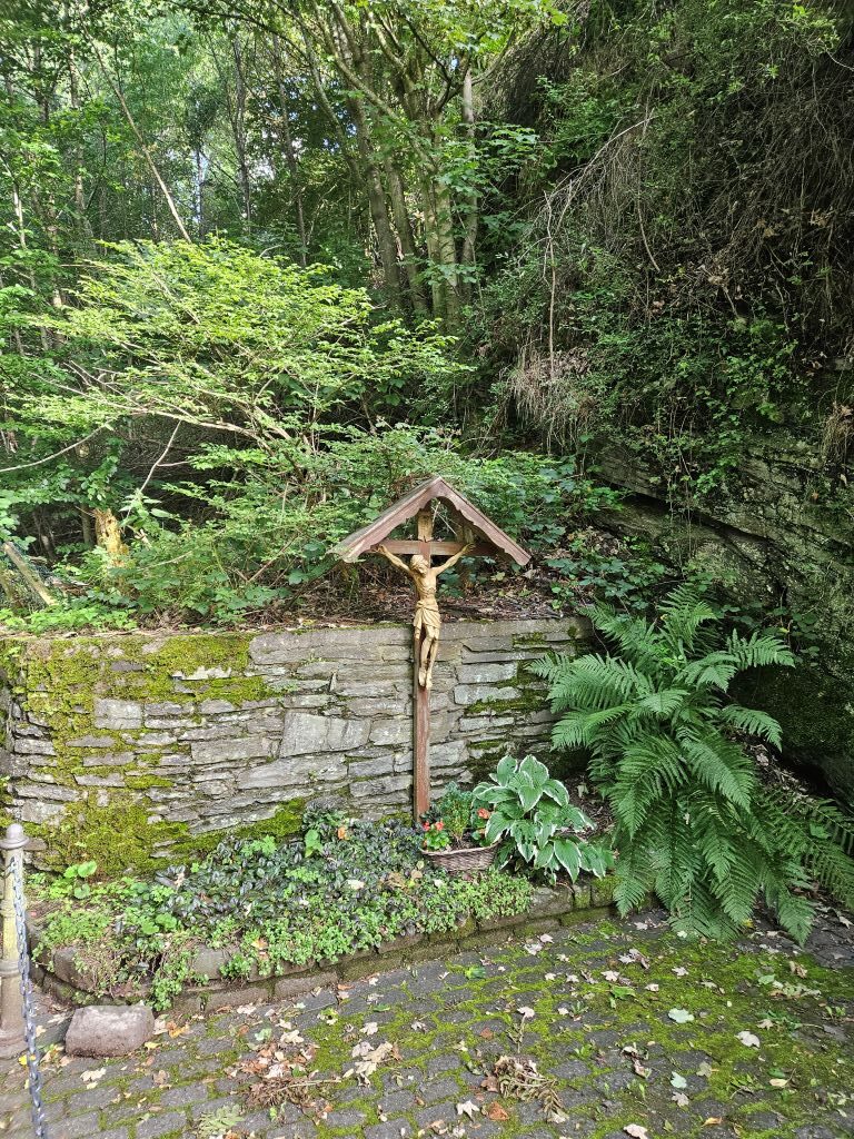
A way cross reminded me how much related the dutch province of Limburg (where I was born) and this nearby part of Germany were historically and still are…
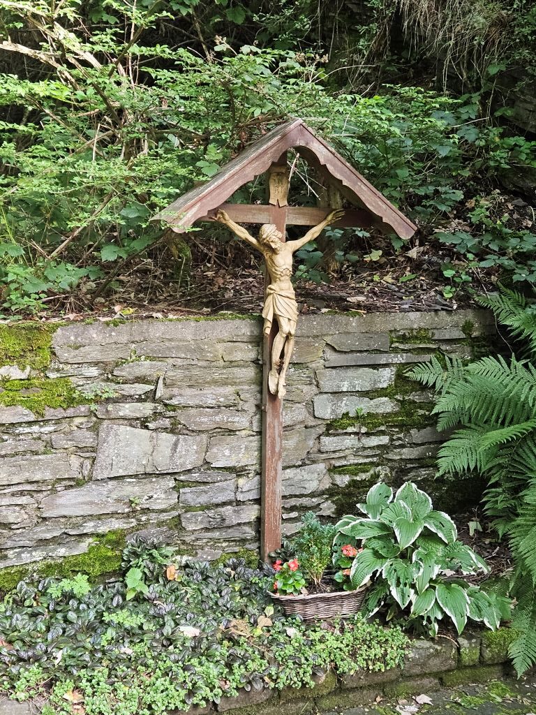
Dedicated to St. Norbert: The chapel was named after Norbert of Xanten (1080–1134), the medieval founder of the Norbertine (or Premonstratensian) Order.
Historical Borders (Vennbahn)
After walking a few kilometers along the Rur, we climbed out of the valley toward the Vennbahn. This former railway track between Aachen and Luxembourg has been converted into a cycling path.
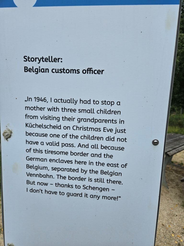
Due to the Treaty of Versailles, this asphalted strip remains an official Belgian enclave on German territory.
The Reichenstein Monastery
The monastery was originally established in 1136 when the Dukes of Limburg donated their ancient castle, Richvinstinne, to the Premonstratensian Order. For over 600 years, the monks of Reichenstein served as the spiritual, educational, and pastoral foundation of the Monschau region. After being destroyed by mercenaries in 1543, it was gradually rebuilt and restored by the end of the 17th century. Currently it still services aa an active monastery for the Benedictine order.
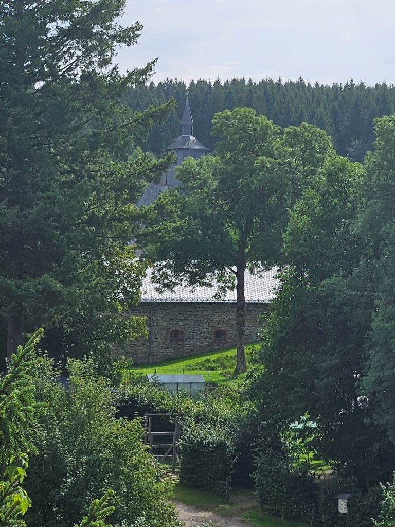
Continuing our route southward, we followed the path alongside the track and passed the imposing Reichenstein monastery, the monastery that gives this route its name. There was a quite well known water lily pond near the castle as well but we didn’t see any water lily’s from this distance …

Without stopping, we pushed onward through the beautiful summer landscape, enjoying the unique combination of nature and border history.

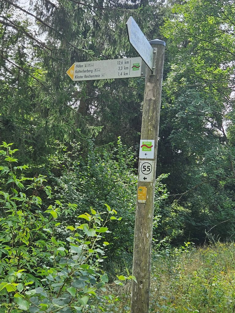
Next we followed the trail markers in the direction of Kaltherherberg …
The upper Rur valley
This was the upper Rur valley:
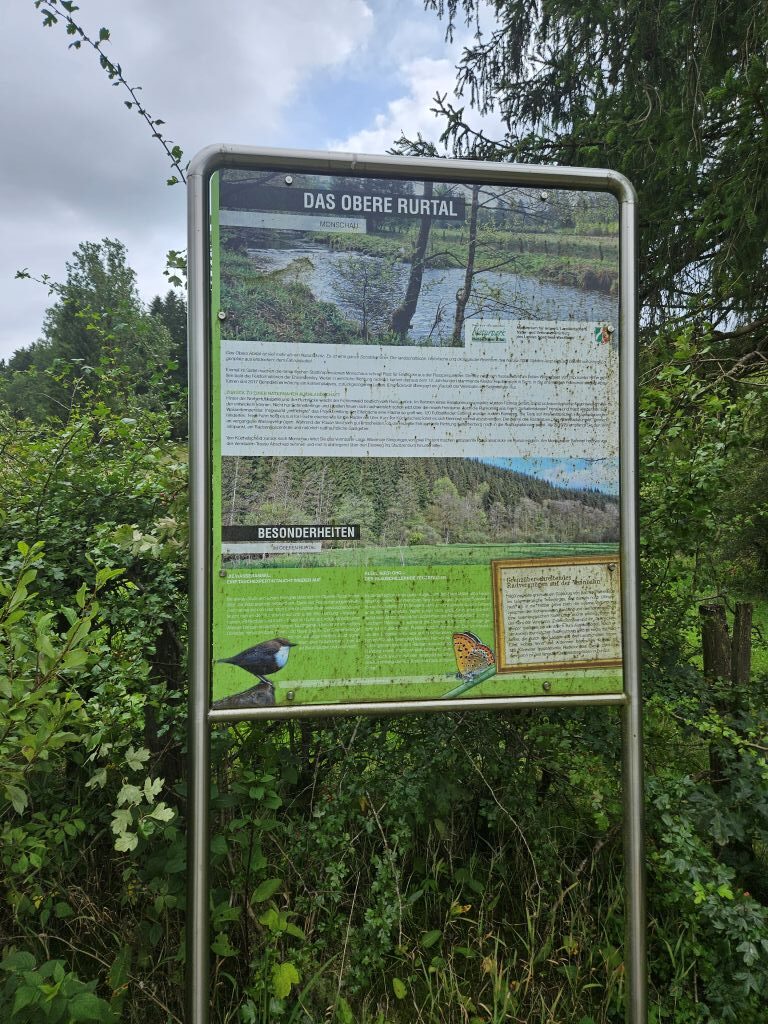
The Upper Rur Valley (Oberes Rurtal) is a highly protected, wild nature reserve centered around the early, winding stretches of the Rur River in the Eifel region.
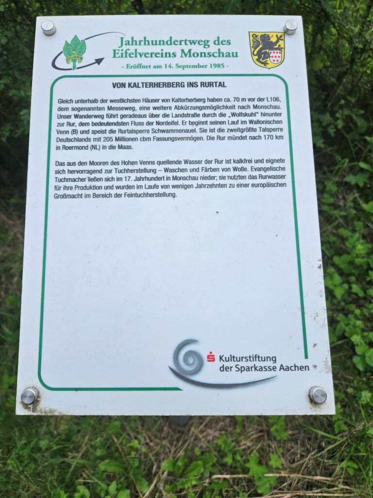
Starting close to the High Fens (Hohes Venn) bog plateau, this valley drops rapidly into steep, heavily forested rocky gorges. It carves directly through the heart of the medieval town of Monschau before emptying into the massive Rursee reservoir network.

The Upper Rur Valley is far different from the flat, industrialized lower Ruhr region.
- Wild Torrent Ecosystem: The river acts as a fast-flowing mountain torrent, bouncing wildly over heavy slate rock formations and gravel beds.
- Flora & Fauna: The valley provides a safe habitat for rare wildlife, including wildcats and black storks.
- Historic Beech Hedges: The surrounding upland ridges feature towering, house-high be5tech hedges (Heckenland), which locals historically grew to block harsh winter winds.
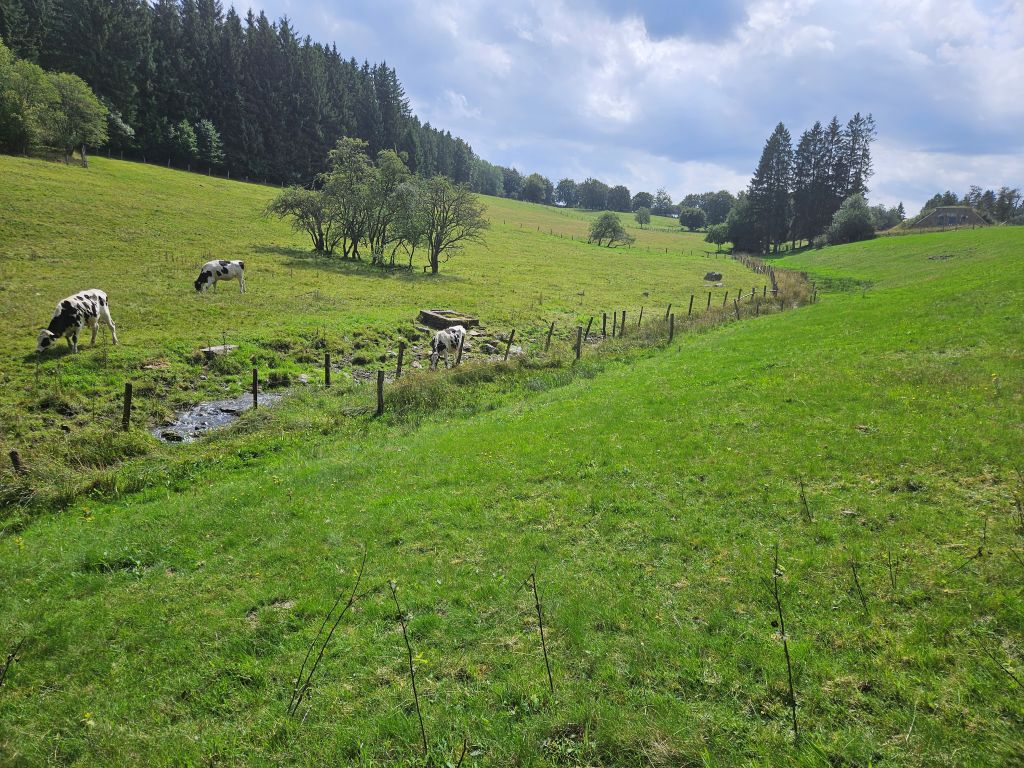
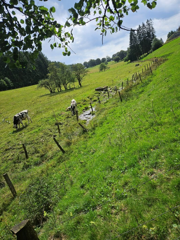
Across the Warm Highlands to Kalterherberg
Kalterherberg is a quiet, picturesque border village located in the municipality of Monschau, right on the edge of the High Fens (Hohes Venn) National Park and the Belgian border. Literally translating to “Cold Inn,” it is famous for its massive beech hedges, border history, and its towering neo-Romanesque church.
 Still on the official Monastery Trail, the path rose through open meadows to an altitude of over 560 meters.
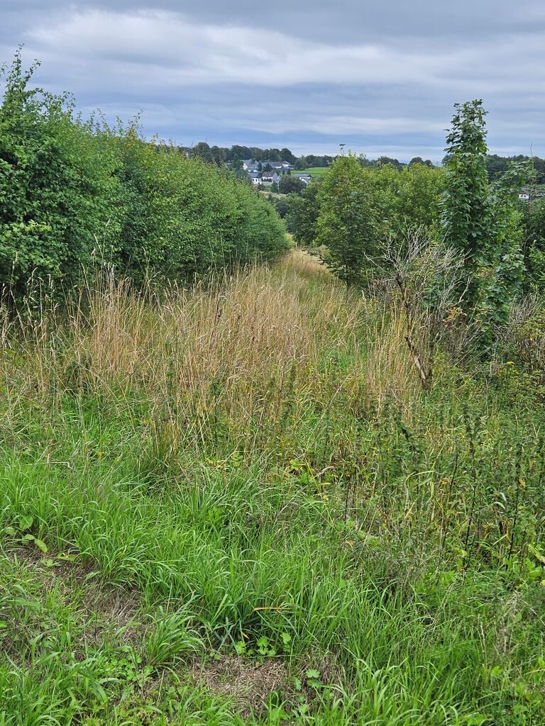 As we passed the high-altitude village of Kalterherberg, my companion and I looked at the meters-high beech hedges surrounding the farm lands and the village. To survive the brutal winter winds, local residents developed a unique architectural defense: growing house-high beech hedges (Monschauer Heckenland). These dense, tightly pruned walls protect the traditional half-timbered houses from freezing drafts and remain a striking signature of the landscape today. Although this typical Eifel phenomenon is designed to protect residents from harsh winter winds, today, they simply offered a beautiful, deep green sight.
 The village was first officially documented in 1334. Its name directly references its geographic position. Sitting high on the plateau, it acts as a weather-shield, catching the harsh, cold weather blowing in from the Belgian High Fens. A perfect place for a “cold inn”.
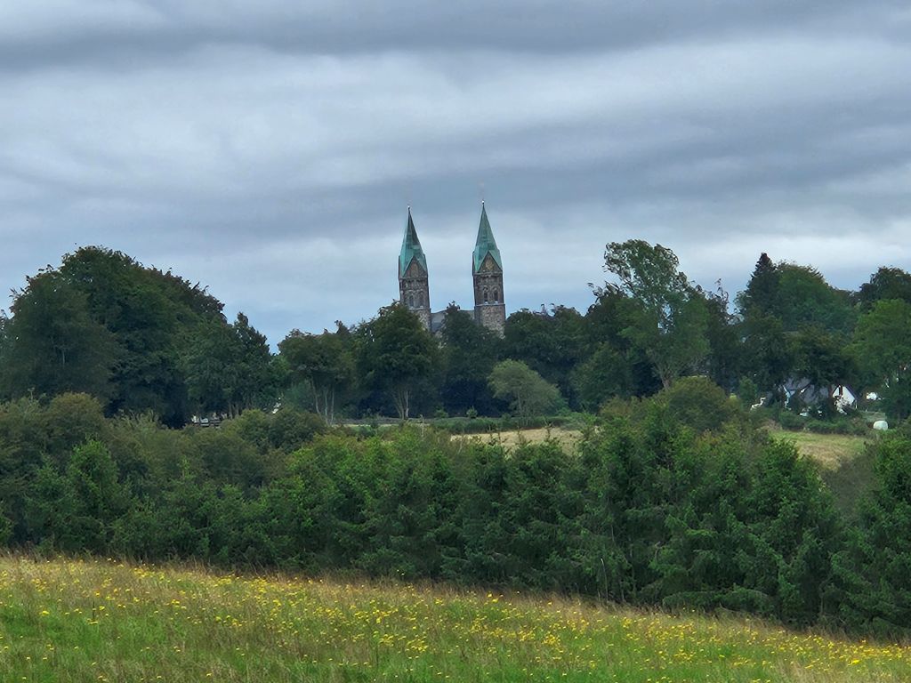 Then we descended again …
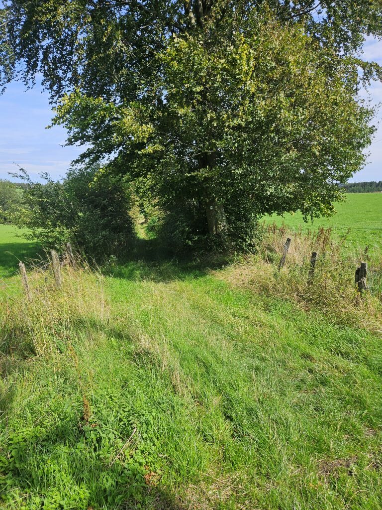 Via grass trails through open field back to the Rur river vale again …
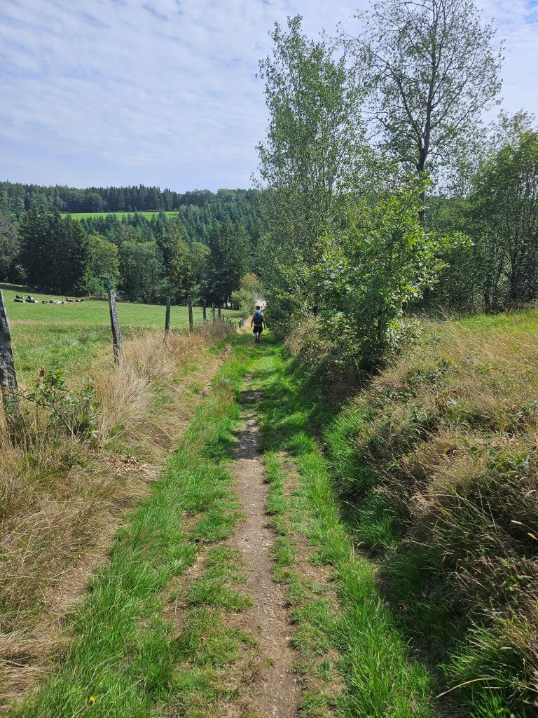 Shortly after, we sought the shade of the dense, vast coniferous forests, where the path wound pleasantly along the edge of the woods.
Along the Perlenbachtalsperre
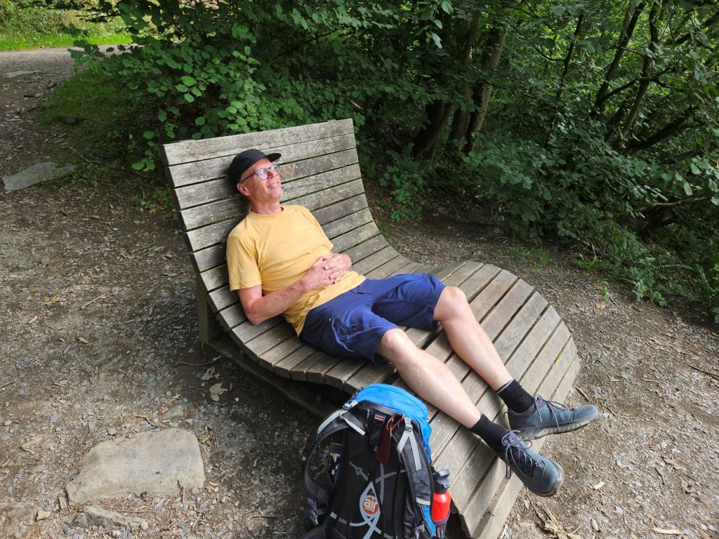
 After a while we reached a broader water surface and knew we were at the Perlenbach and almost at the Perlenbachtalsperre. There were some wooden relax seats at a beautiful view point and we used them well to get a bit of rest.

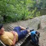
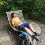
Around the 16th kilometer, the forest opened up and we reached the Perlenbachtalsperre, a reservoir built in 1956 to provide drinking water and energy to the region.
 The Perlenbach and its reservoir, the Perlenbachtalsperre, form a stunning, ecologically vital valley system located just north and west of Kalterherberg. Famous for its centuries-old pearl trade and pristine water, this area is a paradise for hikers, nature lovers, and history enthusiasts.
 The stream’s name literally translates to “Pearl Brook.” From the 17th to the 19th century, it was home to a rare population of freshwater pearl mussels (Margaritifera margaritifera). The Dukes of Jülich held strict royal rights over the stream; poaching pearls was heavily punished, and regular official pearl harvests were documented until the late 1800s when industrial water pollution wiped them out.
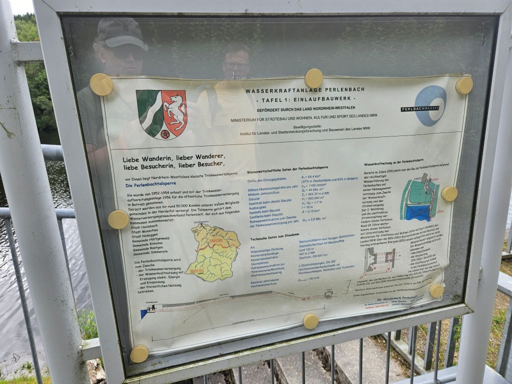 We followed the elongated shore of the reservoir until we reached the impressive dam, where we took plenty of time to gaze out over the glittering water.
Built between 1953 and 1956, the Perlenbachtalsperre dammed the Perlenbach and Fuhrtsbach streams. The project was commissioned to secure a reliable drinking water supply for the growing industrial and residential areas of northern Monschau, Roetgen, and Simmerath.
 Covering an area of roughly 15 hectares, this peaceful reservoir is completely surrounded by deep pine and beech forests. Because it serves as a strict drinking water reservoir, swimming, boating, and water sports are forbidden, leaving its waters glass-still and serene.
Then we moved on because after this warm day, a large German style Weizenbeer was starting to sound more and more attractive. However there was still one lastvstretch to go and it was a challenging one.
Slate Rocks and Summer Vibes
Nestled in the lush, rolling landscapes of the Northern Eifel, the terrain stretching between the Perlenbachtalsperre (Perlenbach Dam) and the historic town of Monschau is a spectacular display of both geological history and natural beauty. Geologically, this area is part of the Rhenish Slate Mountains (Rheinisches Schiefergebirge), defined largely by dark argillaceous slate dating back to the Lower Devonian epoch, approximately 410 to 405 million years ago. Over millions of years, the slow, meandering forces of the Perlenbach and Rur rivers have carved deep valleys into this bedrock, creating dramatic, craggy outcrops.
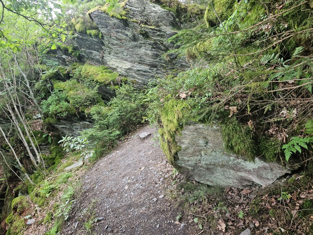
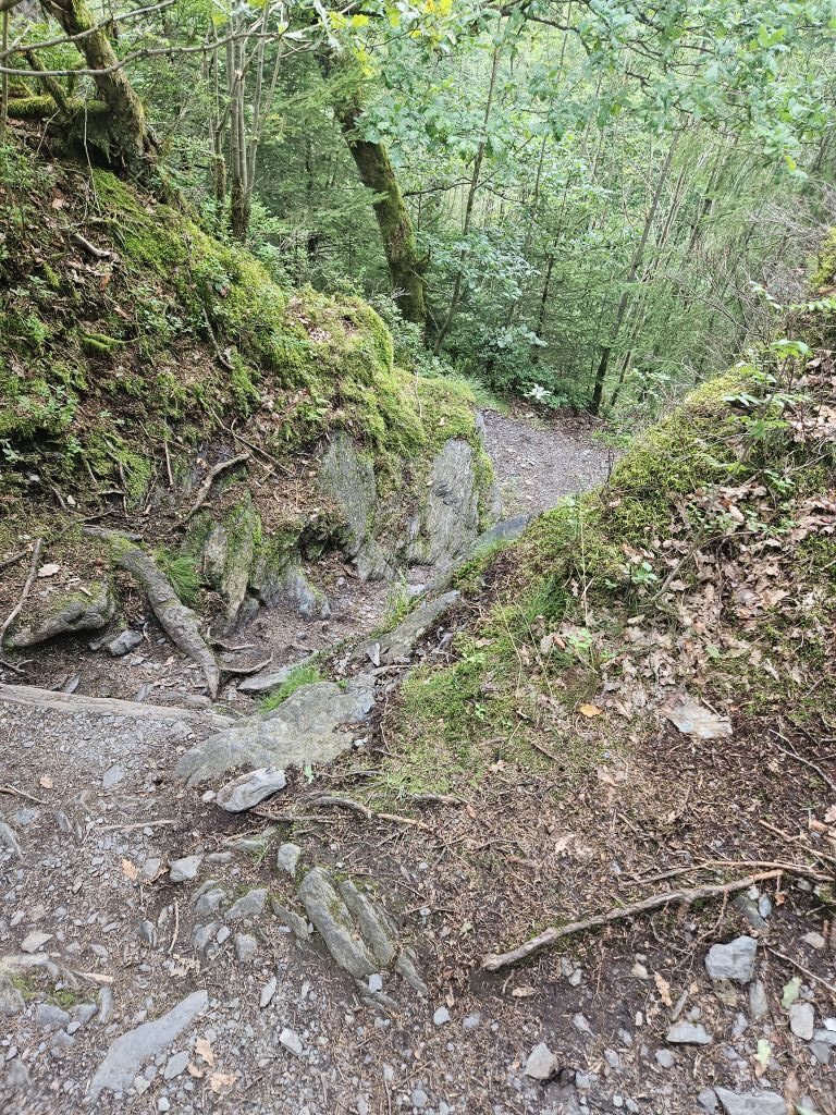
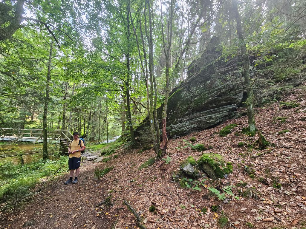
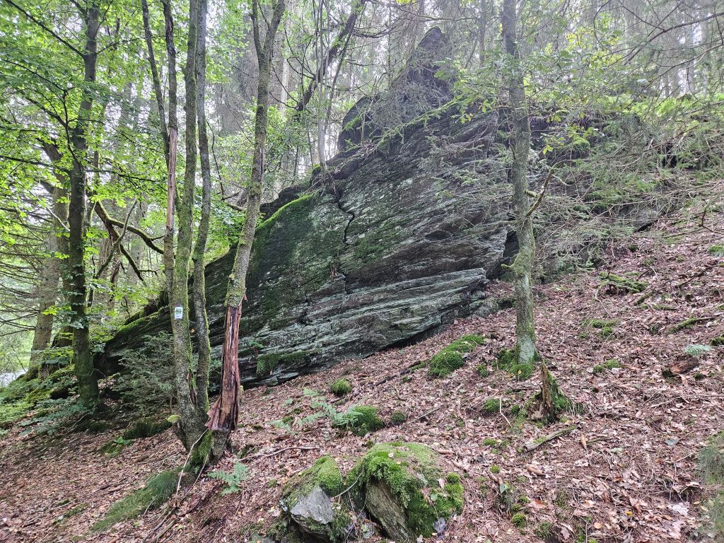
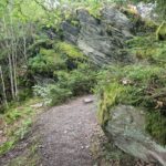
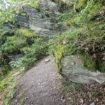
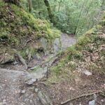
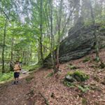
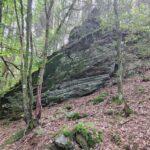
For the adventurous traveler, this rugged topography is best explored along the various interconnected hiking routes, such as the Ridge Trail above Perlenau loop or the renowned Wildnis Trail. As you wander south from the half-timbered streets of Monschau, you will encounter impressive natural monuments like the Teufelsley (Devil’s Rock) and Engelsley (Angel’s Rock). These steep, lichen-draped slate formations offer panoramic vantage points overlooking the dense deciduous forests and meandering river valleys below.
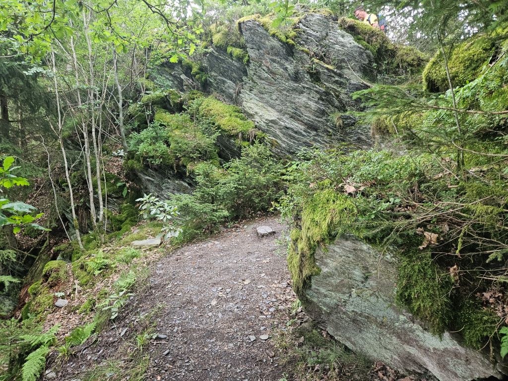
But the Monastery Trail also ascended steep from the Perlenbachtalsperre toward a part of the trail with beautiful slate rock formations.


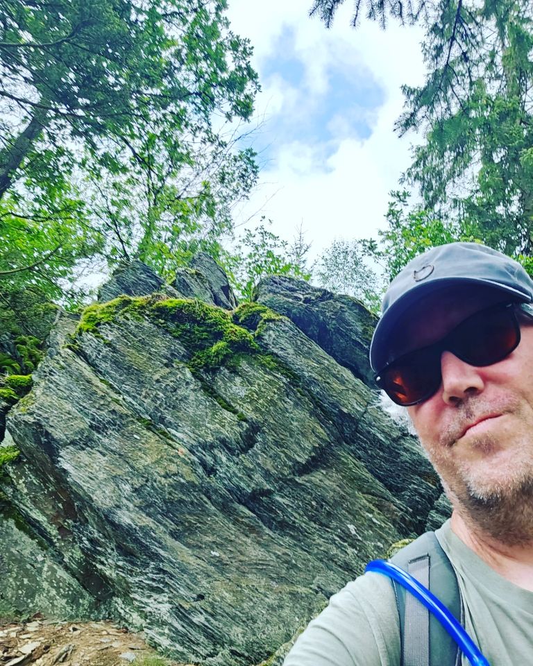


The final stretch of our hike took us over a narrow, beautifully laid-out path along steep slate rock formations that were radiating the warmth of the day. Just before reaching Monschau again, a final, grueling climb in the afternoon sun demanded one last burst of energy from both of us. The reward, however, was grand: a magnificent panorama over the charming town in the valley below.
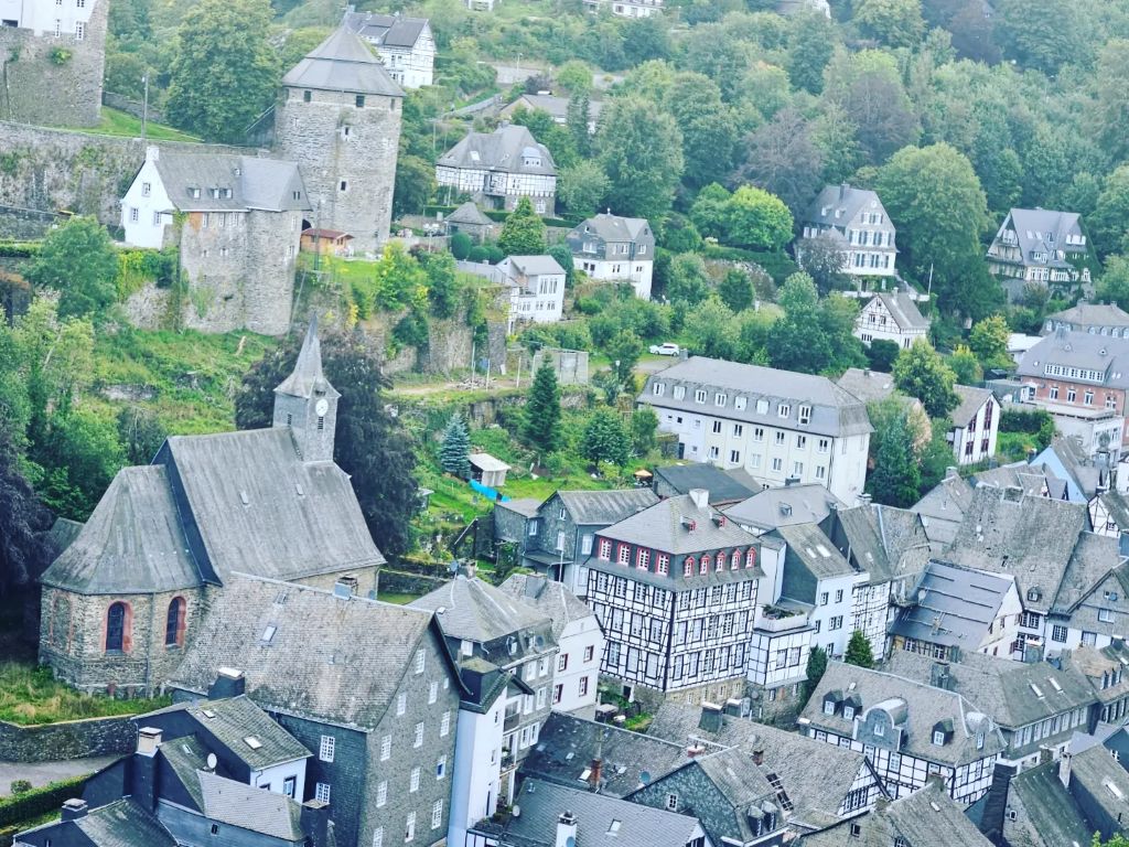 Arriving in Monschau and gagging for a large Weizenbeer
We descended into the historic center, and with dusty hiking boots and sweaty clothes, we immediately mingled with the crowds on the lively summer terraces. Surrounded by flower-filled timber-framed houses, my mate and I finished this beautiful summer trek in style with a hearty, traditional German brathuhn and a cold drink.
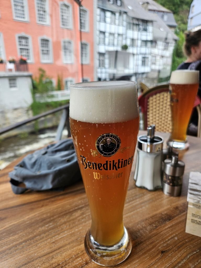

The evening after our day walks we spent roaming through Monschau and eating and drinking. Also time was spent on deciding which walk to do the next day. There was one more day left for a long walk and a morning for a brief one, before we were leaving.See more of our Monschau citywalks at:
Monschau city walk(s): Fairy Tale town in the German Eifel (High Fenn – Eifel Nature Park)
Conclusion:
This is a magnificent trail. It’s not easy and has a considerable length but it’s not too heavy either. It boasts a large variety in landscapes and is also culturally interesting enough. Loved it and can advise you to try it if you have a descent physical walking condition.