Dutch Mountain Trail Walk 8: The section that I skipped and finally finished – True End of my DMT thru hike
In the Summer of 2022 when the Covid virus was still very active on the European Continent, The Wandelgek decided to stay near home and do a long distance walk. He chose the Dutch Mountain Trail (DMT), a 101 km. trail from Eijgelshoven to Maastricht. About halfway of the 4th section, he had to abandon the trail due to his shoes giving up on him, heavy rainfall, a heavy backpack and knowing the stretch before him was dangerous under such conditions.
Now 4 years later, a lot had happened and he restarted the 4th stage of the DMT in Mheer (taking bus 57 from Maastricht) and rewalked the stretch toward Eijsden, but now without a large heavy backpack, with good walking shoes and solo. These conditions made the walk a lot easier then it had been in 2022. He didn’t make pictures or used the gpx app for this familiar section.
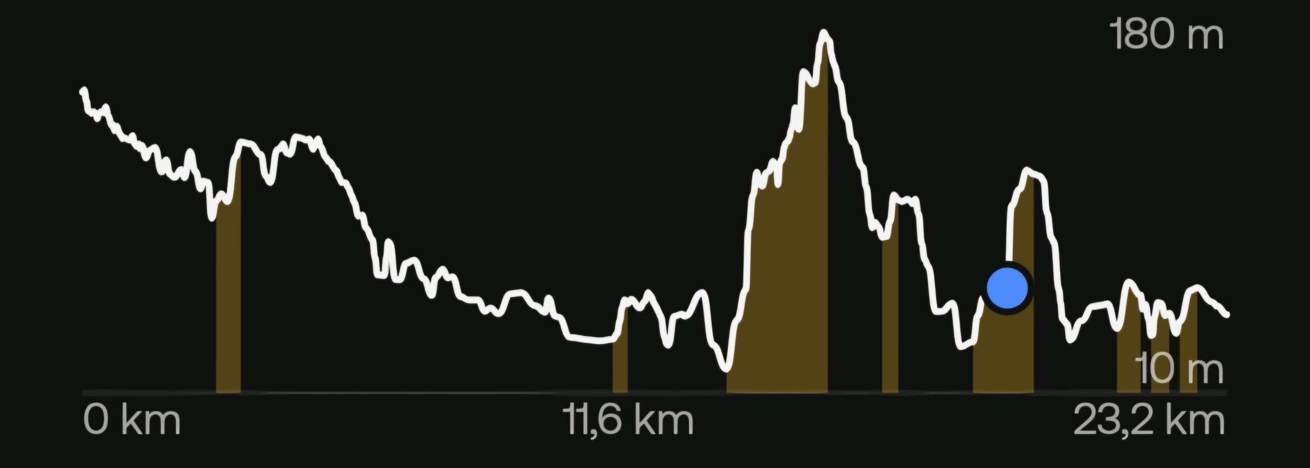
DMT section 4 from Mheer to Maastricht (23,2 km)
For those I refer to the 2022 blogpost:
Dutch Mountain Trail Walk 6: Of Railroad viaducts and fruit tree orchards – Val Dieu – Eijsden
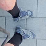
and when arriving in Eijsden he first went to the railway station where he had taken the train to Maastricht, after abandoning the trail, to sit on the bench he had been photographing his deteriorated shoes …
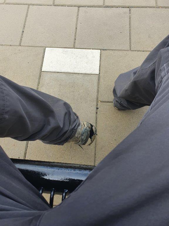
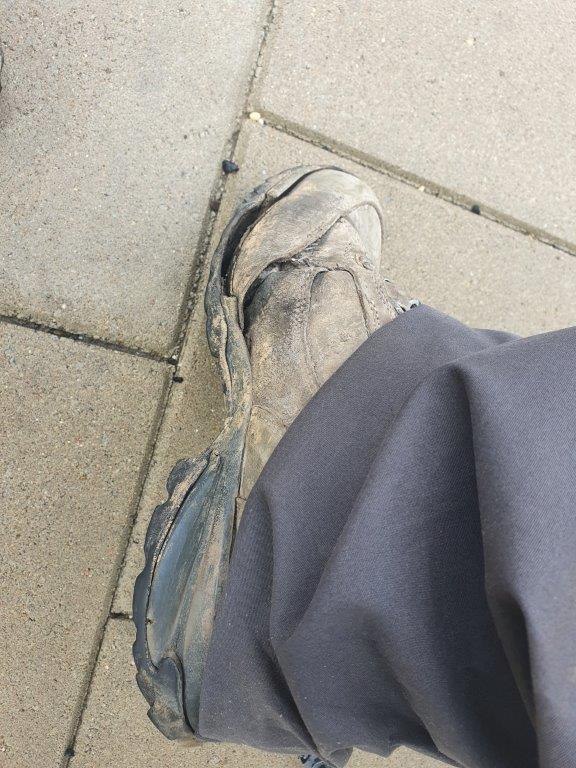
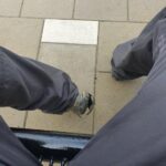
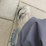
and did that again with his new shoes …
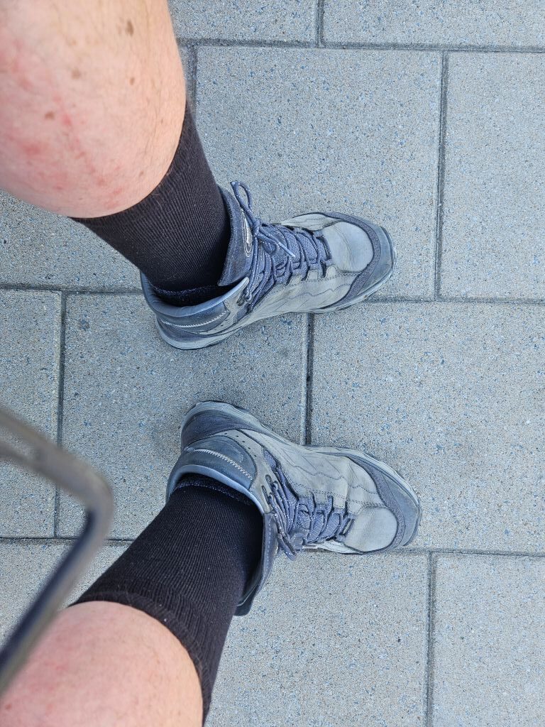
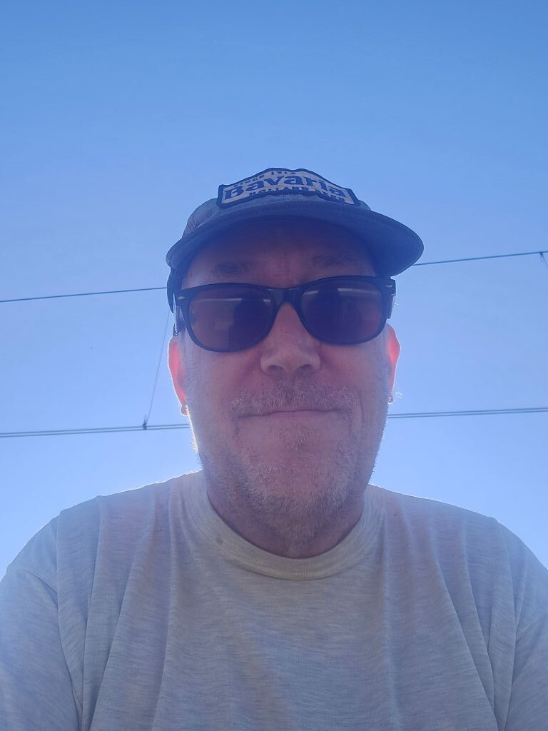
See my previous 2023 blogpost:
Dutch Mountain Trail Walk 7: The section that I skipped (for now) – End of my DMT thru hike
Next he walked passed the café where he had been drinking a large weizenbeer and passed the Greek restaurant where he had subsequently spend the night in the attic.
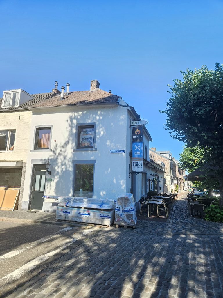 The streets of Eijsden were quite dry now and the weather really sunny and warm as the sun had already climbed up the sky …
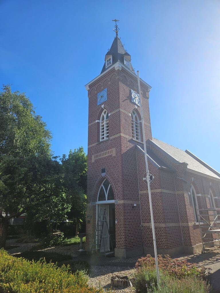
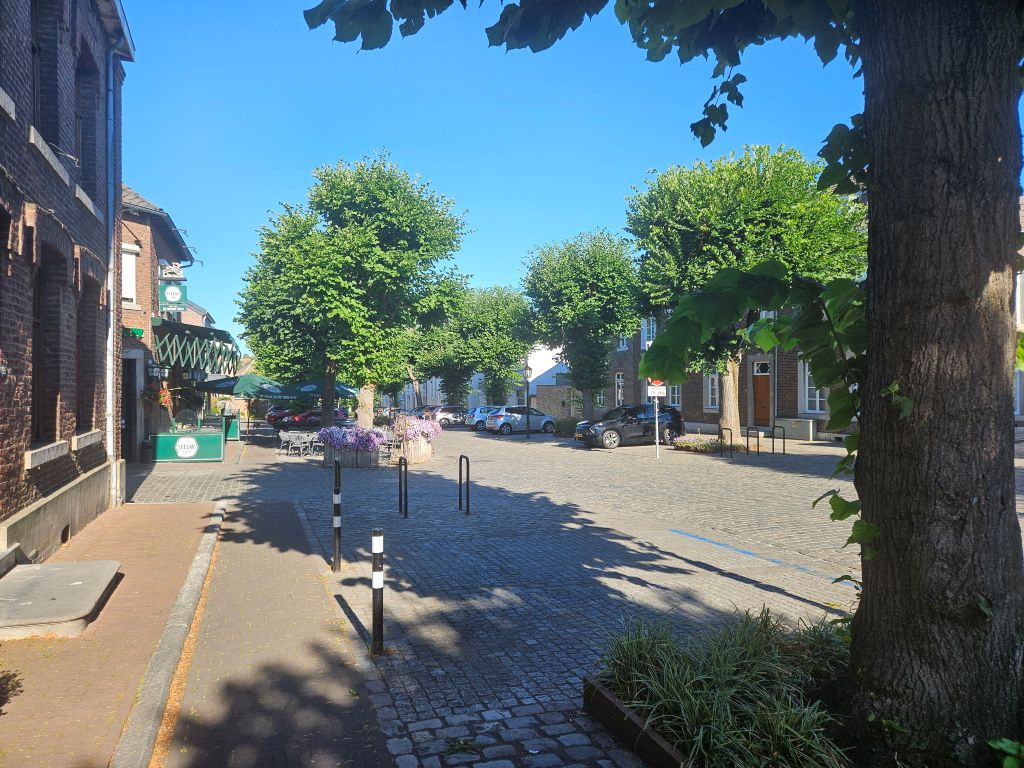 Passed the Church …
He quickly walked toward the ferry at the river Maas. It was a very sunny and hot day today, completely different from 3 years ago when it had been very wet. There were some other walkers and bikers waiting to be transported in to Belgium at the other side of the river. The river crossing meant also a border crossing from The Netherlands into Belgium, but that hadn’t always been like that. In my youth you could still crosse the river and stay in The Netherlands. On 1 January 2018, a border realignment together with a corresponding territorial swap between Belgium and the Netherlands took place along the Maas/Meuse River near Eijsden in Limburg Province. The realignment straightened and simplified the border by making it run along the current Maas/Meuse River alignment.
Previously, the border curved between the left and right bank of the river as it followed its old course prior to dredging and straightening between 1960 and 1980. These curves resulted in several pieces of territory being cut off from the main part of the country by the river. This posed some legal complications including difficulties in policing and law enforcement as this would require access by enforcement personnel via a foreign country. These territories became known for drug trafficking and prostitution. The complications were brought to focus when a headless torso was found in one of these territories which belonged to Belgium in 2014. To reach that piece of territory to conduct investigations, Belgian police had to travel by boat and faced various difficulties including not having a place to dock their boats.
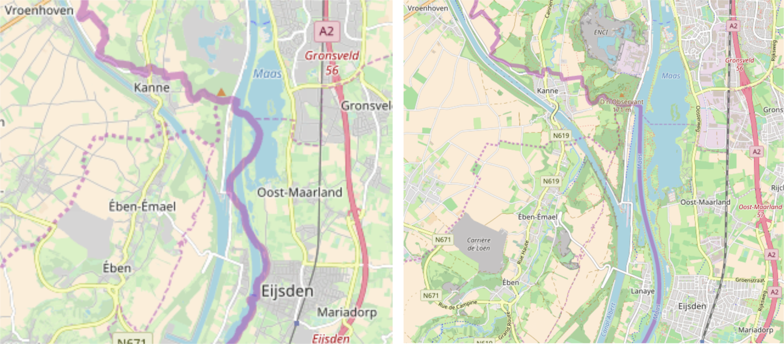
By Polyglot – Own work, CC BY-SA 3.0
Hailed as an example of good diplomacy and successful negotiated solutions to border problems, the treaty for the territorial swap and border realignment was signed in 2016. The territorial swap saw Belgium giving a total of 16.37 hectares (40.45 acres) of land to the Netherlands comprising two uninhabited riverine peninsulas, previously cut off from “mainland” Belgium by Dutch territory, known as Presqu’île de L’llal and Presqu’île d’Eijsden. In return, the Netherlands gave Presqu’île Petit-Gravier which was 3.08 hectares (7.63 acres) in size, to Belgium.
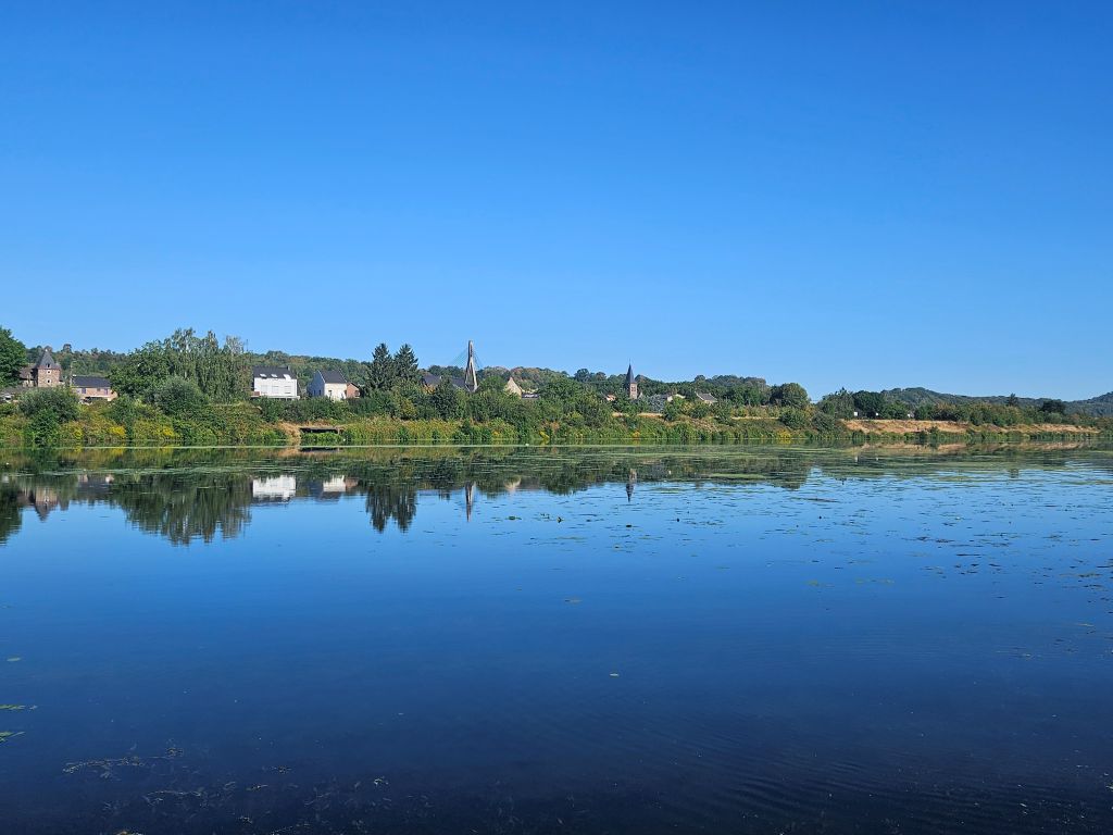 Now he was ready to discover whether his decision to stop then had been the correct thing to do. He activated his gpx app for the upcoming part of the route on his mobile and then the ferry captain told us to board.
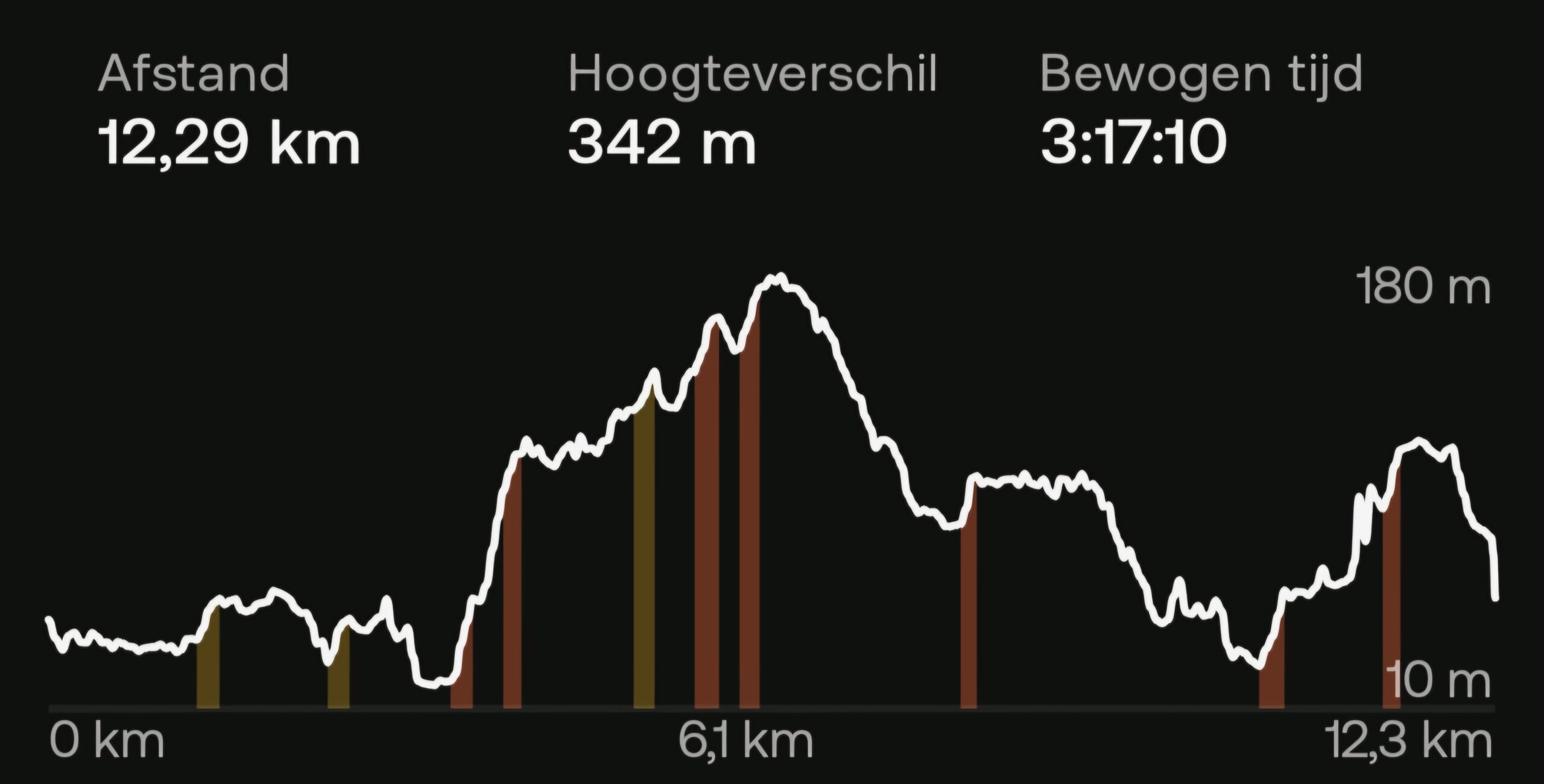
DMT section 4 (part) from Eijsden to Maastricht (12.3 km)
The Ferry Crossing from Eijsden to Lanaye (B)
The ferry has no digital payment system so payment in cash was the only option, but The Wandelgek had just enough cash to pay the river crossing.
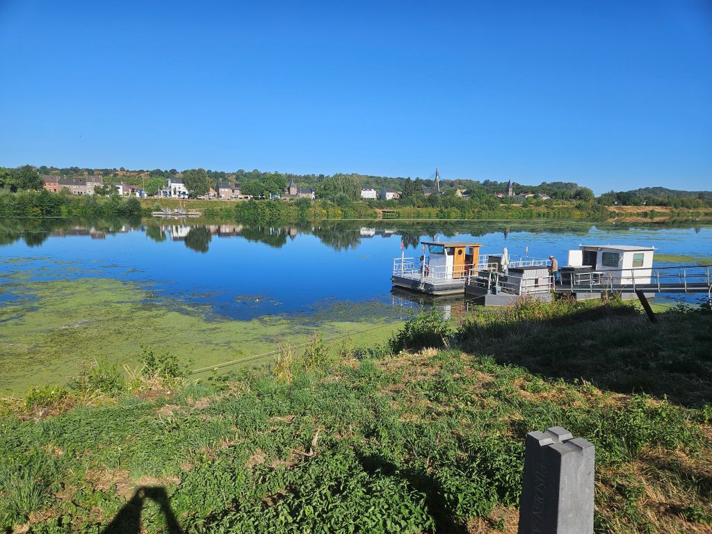
He asked the captain how deep the river Maas still was and the answer was quite shockingly only 1.5 meters, which also explained all the waterplants being clearly visible and the low water levels at the quays and ferry tresholds.
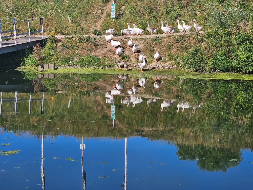
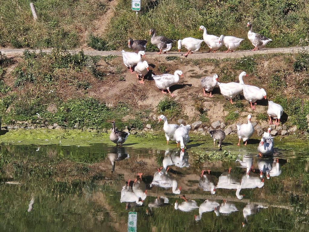
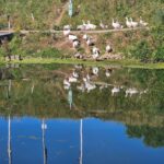
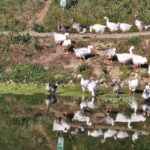
A bunch of geese was quenching their thirst as the ferry reached the Belgian side of the Maas near Lanaye.
To the Lanaye Locks
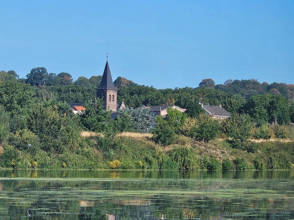
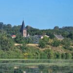
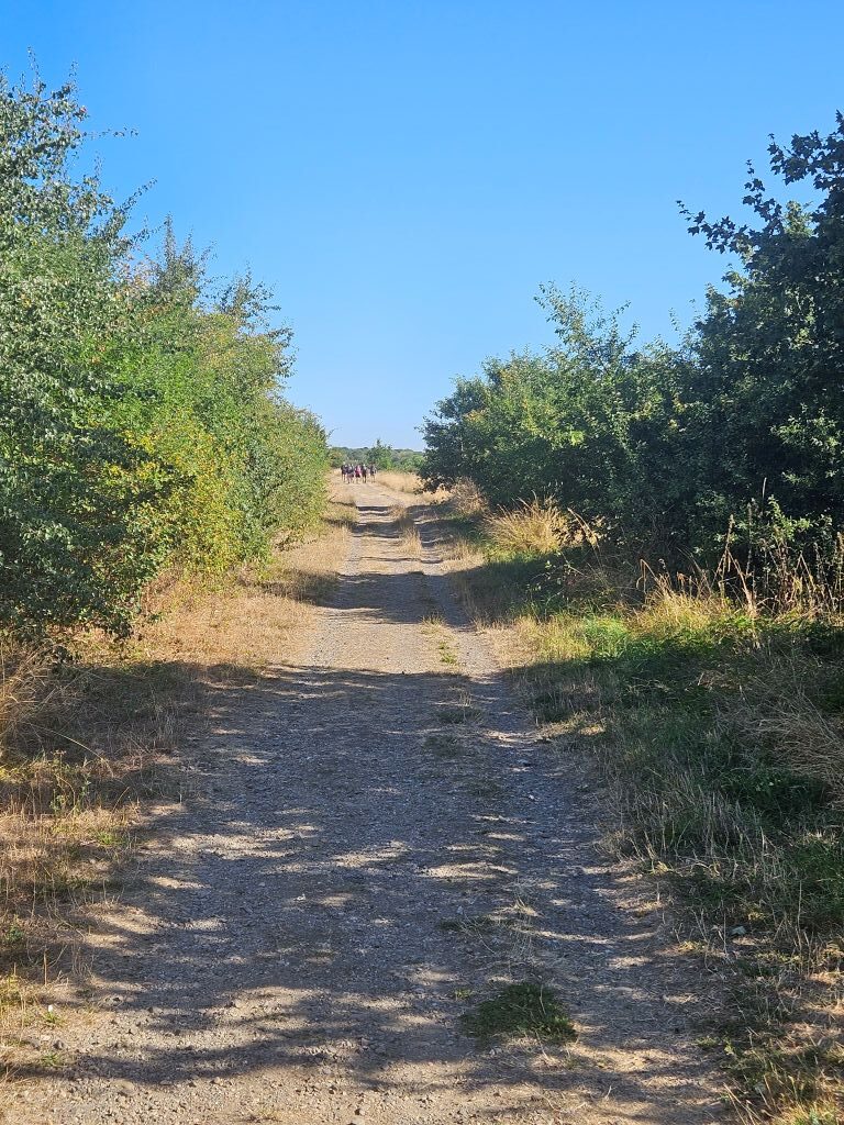
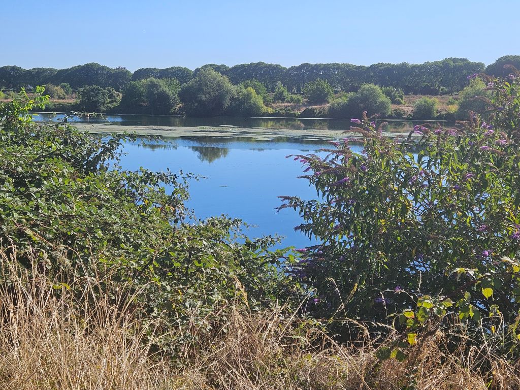
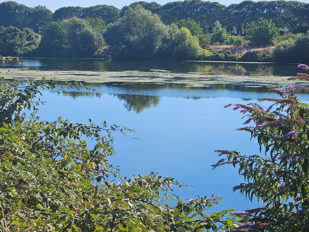
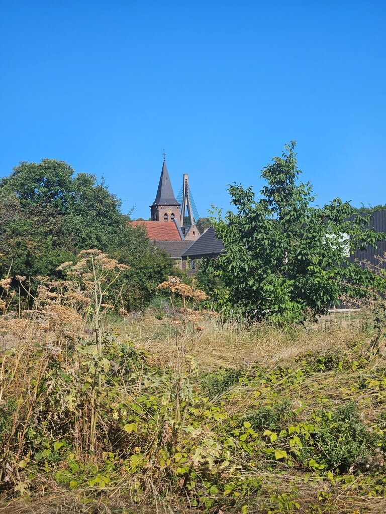
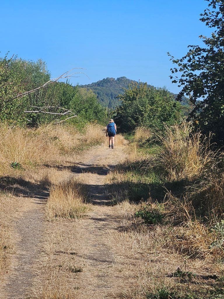
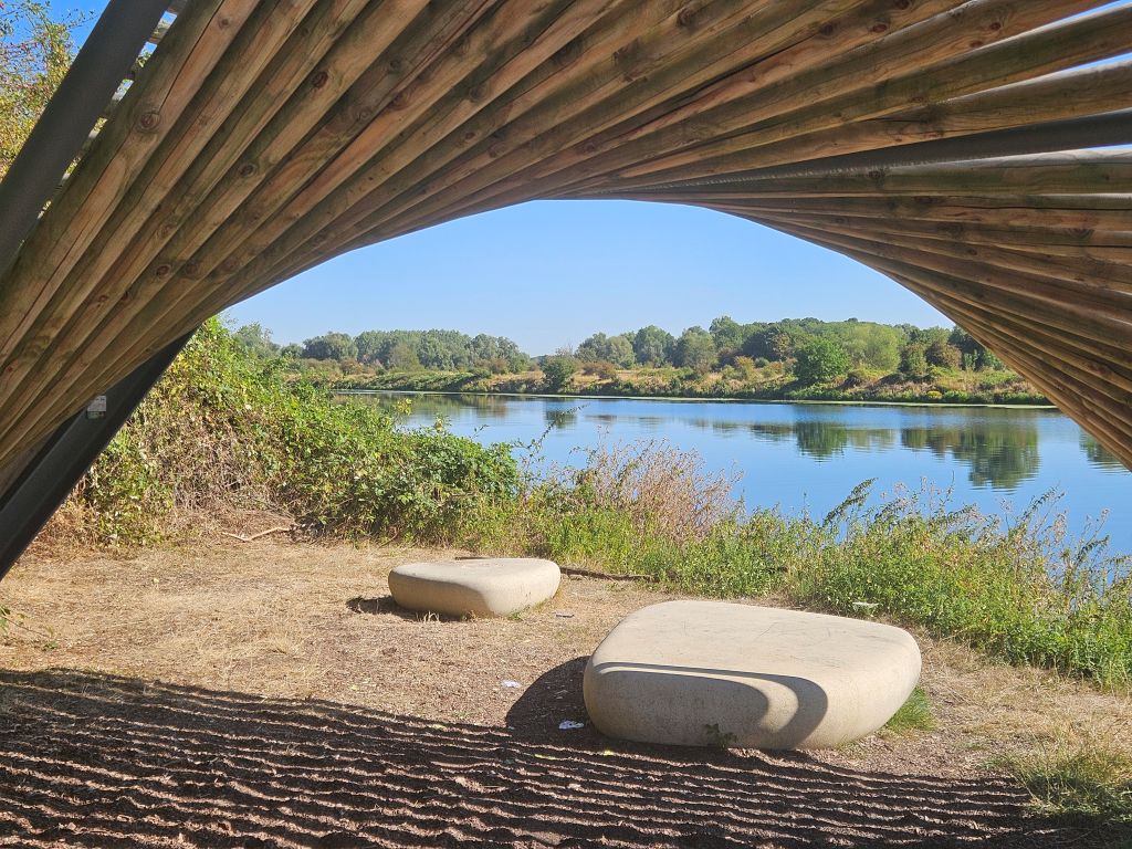
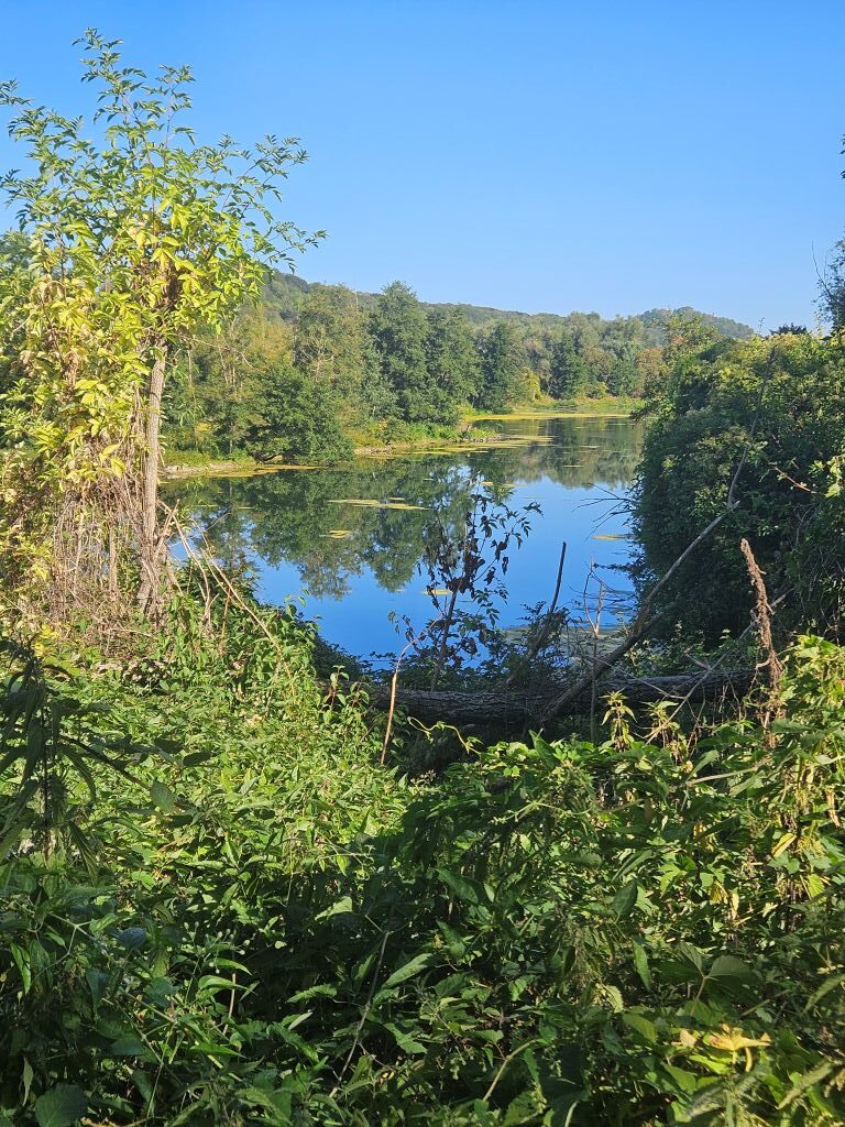
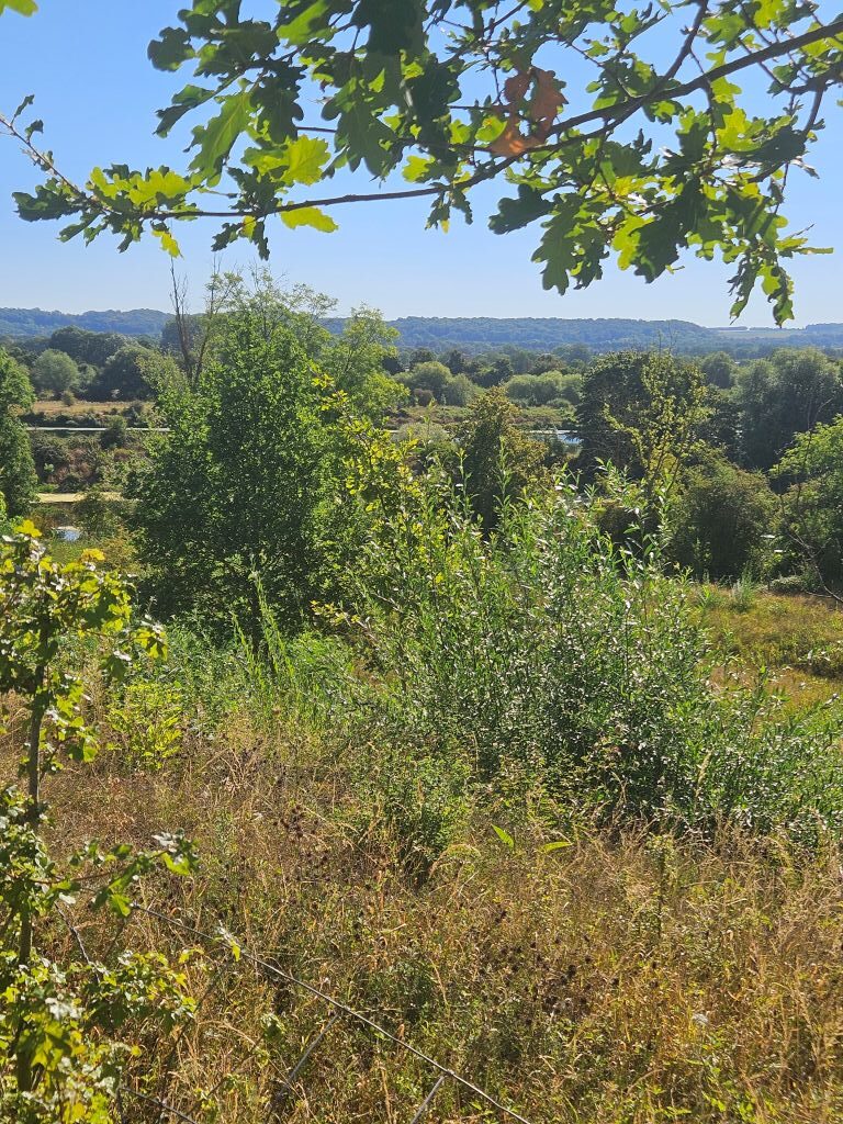
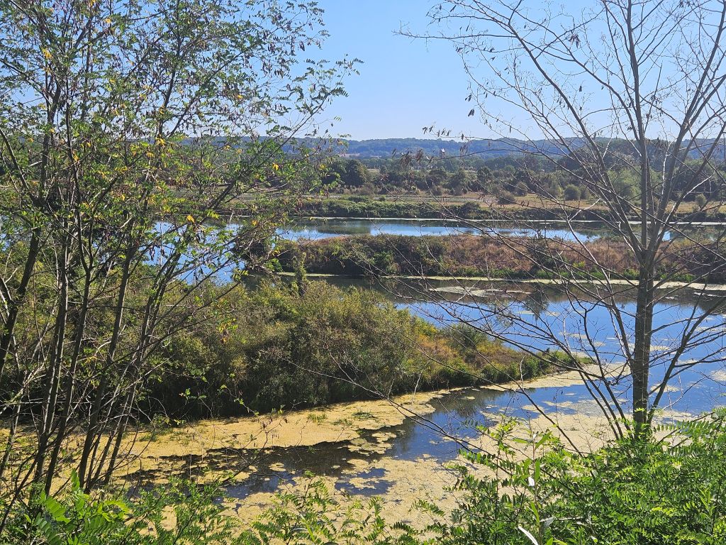
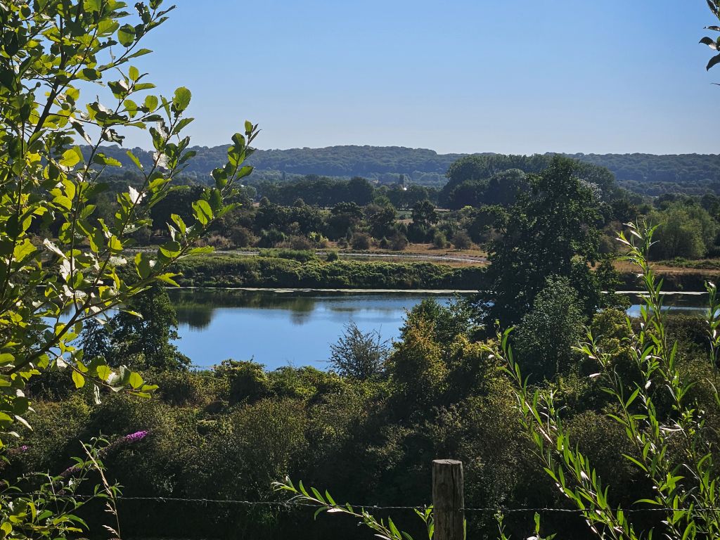
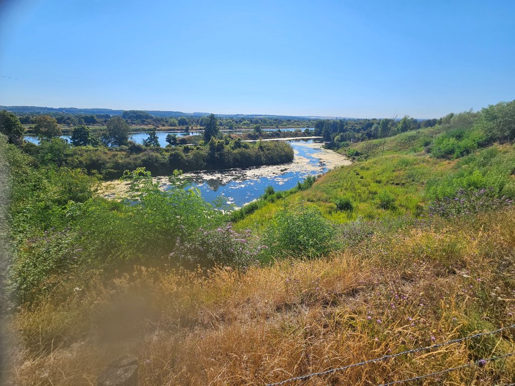
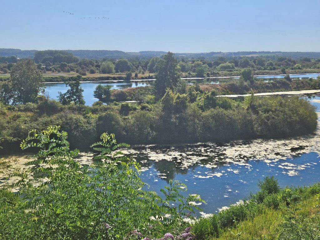
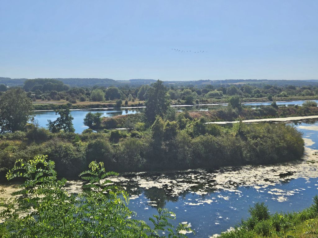
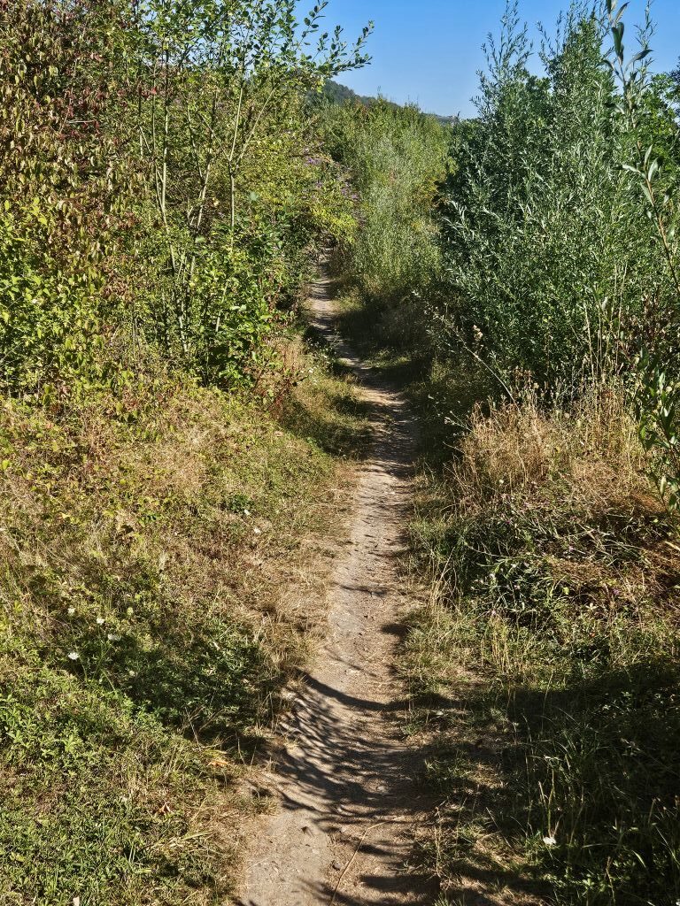
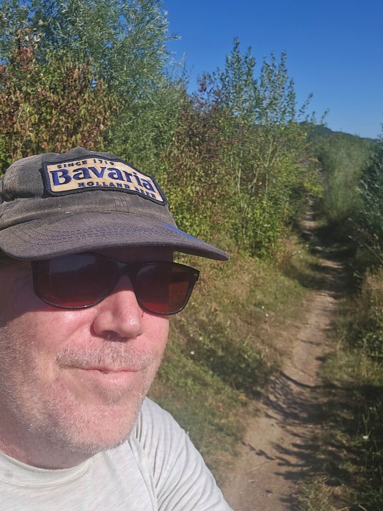
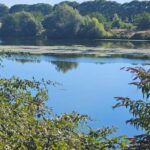
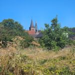
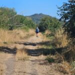
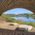
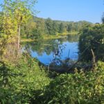
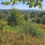
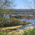
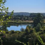
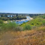
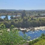
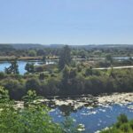
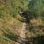
This stretch was a bit like a stroll down memory lane and The Wandelgek was reminiscing his childhood when his parents took him and his brother on boat rides on the river Maas from Maastricht toward Liège in Belgium. These boatrides involved passing several locks and one of those was where this rather flat stretch was going. The Maas was calmly meandering through this area and because it had been doing so for many ages, it had uncovered large margl cliffs. There were lots of small lakes besides the river bed where water birds were abundant. The views over the rolling hills on the other side of the river were wonderful and would get even better as the walk proceeded …
The Lanaye Locks
After leaving the River Maas, The Wandelgek reasched the Albertkanaal where he found the Locks of Lanaye (Sluizen van Ternaaien)…
The Locks of Lanaye, known in Dutch as De Sluizen van Ternaaien, are a massive complex of shipping locks located in Lanaye, Belgium, right on the border with the Netherlands and just a stone’s throw from Maastricht. This impressive engineering crossroads serves as the vital junction connecting the Lanaye Canal directly to the main artery of the Albert Canal.
Standing beside them, you really get a sense of the sheer scale of modern shipping. The largest of the four locks, which was fully completed in 2015, is an absolute monster of steel and concrete designed to handle immense vessels up to nine thousand tons. It stretches a staggering two hundred and twenty-five meters in length and spans twenty-five meters in width, which is vast enough to allow four large push-barges to pass through simultaneously, effectively doubling the capacity of the older locks that could only manage two at a time. The most dramatic feature, however, is the colossal drop in water level, as the locks manage a massive vertical drop of thirteen point sixty-eight meters to safely lower and raise the heavy river traffic between the connected waterways.
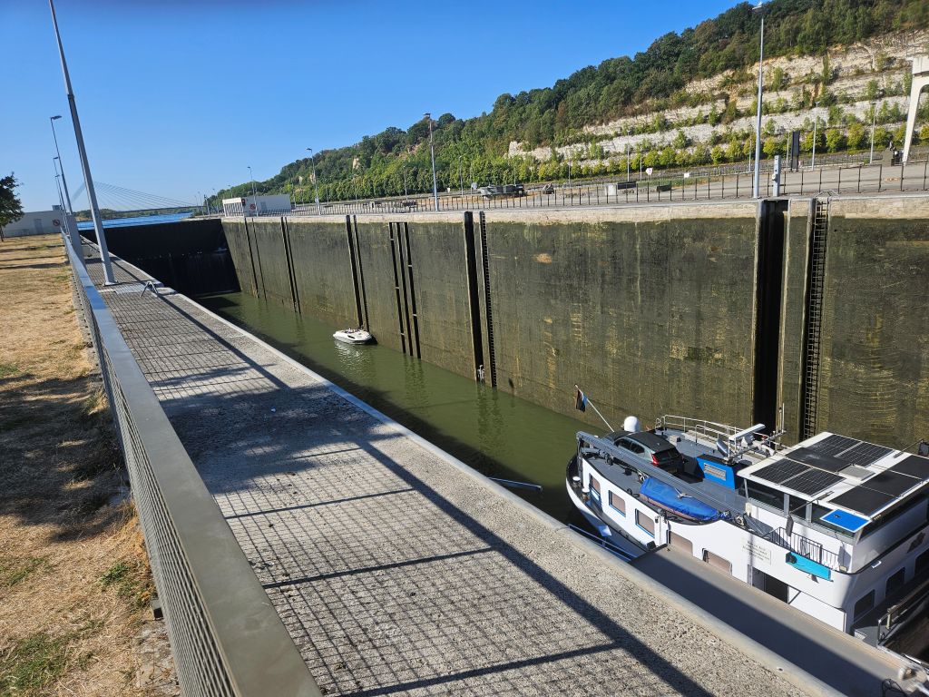
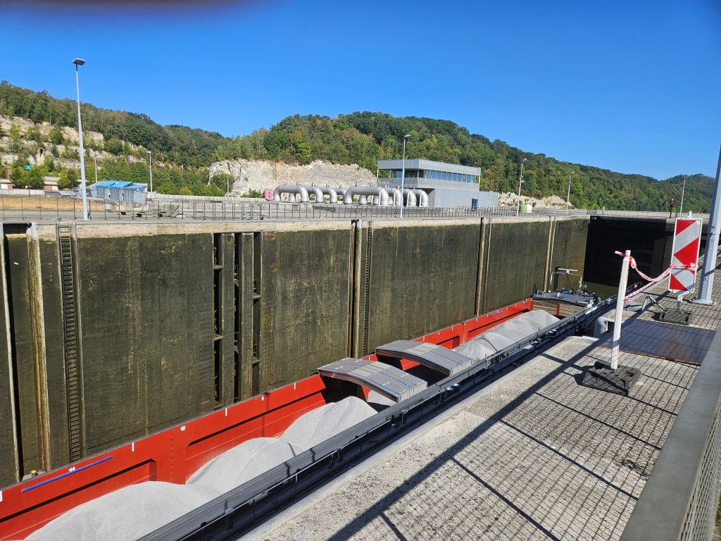
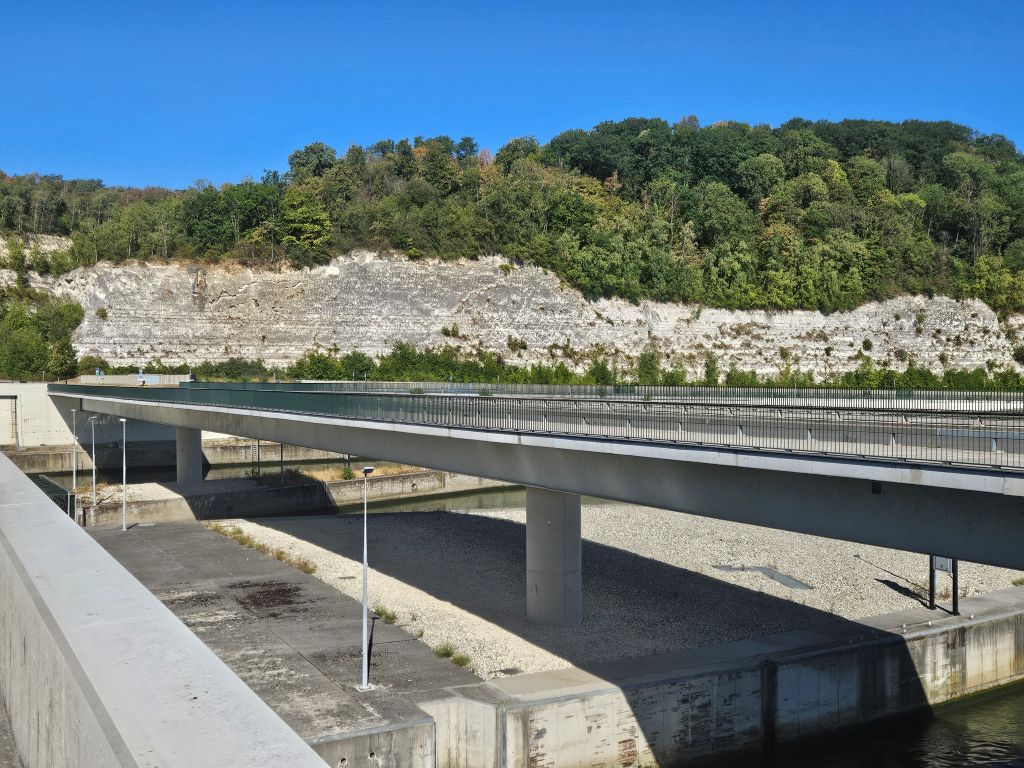
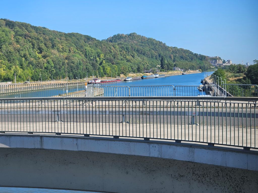
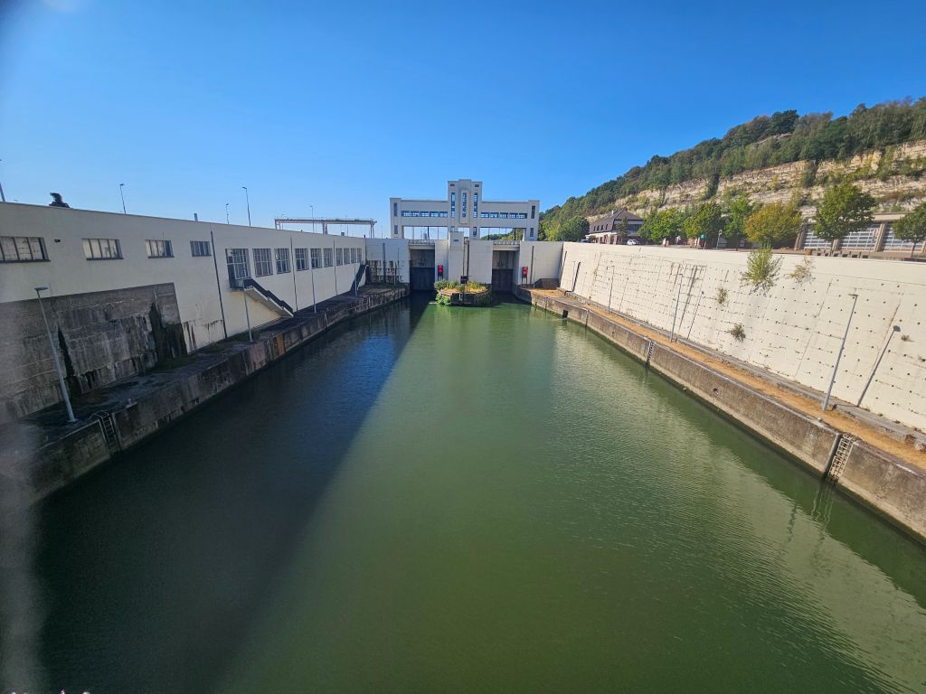
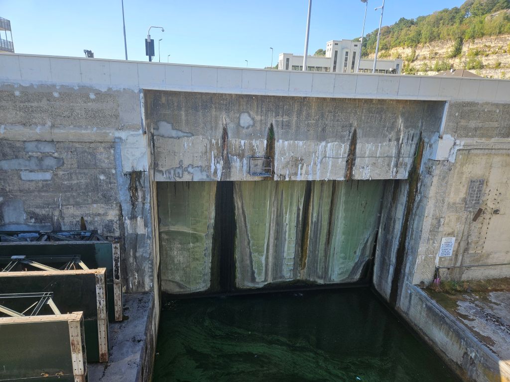
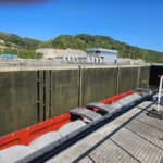
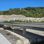
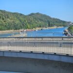
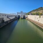
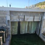
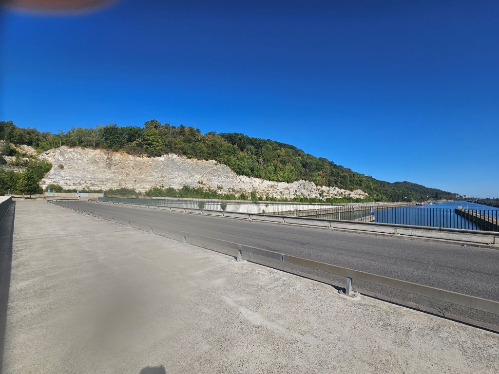
Right at the locks, the Albert Canal was carved directly through Mount Saint Peter itself, creating the massive, sheer-walled gorge known as the Castert Cut.
Underneath the Marl (Dutch: Mergel) cliffs
After moving passed the Locks of Lanaye, The Wandelgek walked beneath some open and steep Margl Cliffs of the Castert Cut and on the other side was the River Maas again …
The first practice ascends
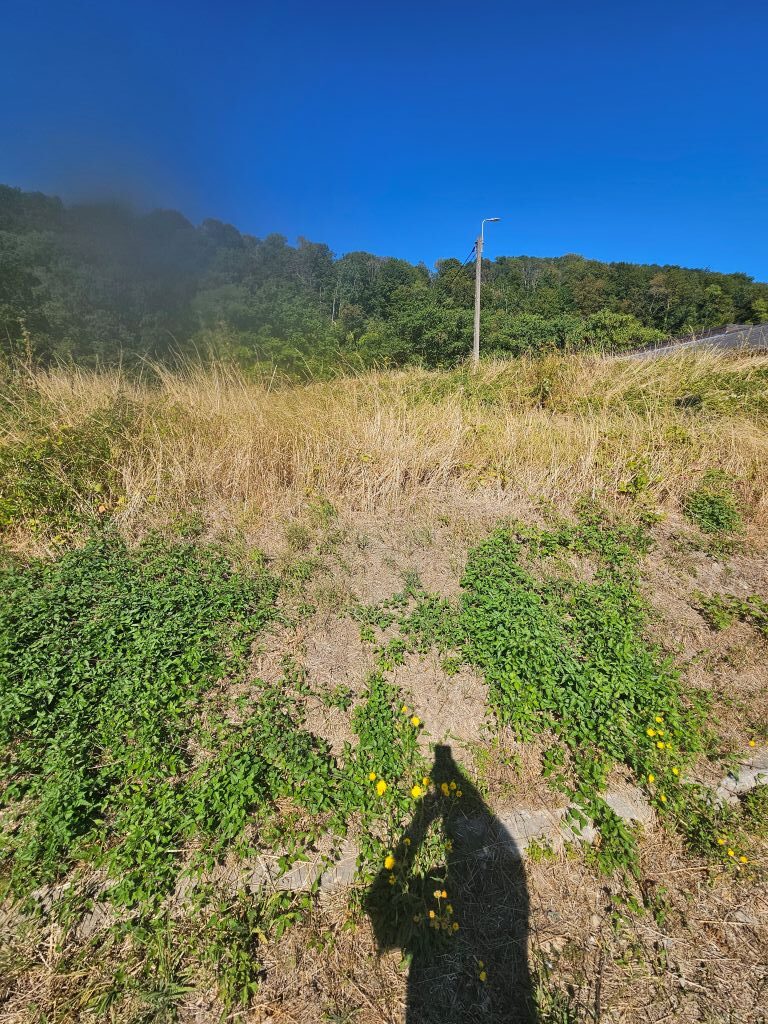
After the Marl Cliffs, the trail left the River Maas again for some brief but already challenging practice climbs.
If you look at the landscape here, you realize you are standing on a massive, millions-of-years-old plateau of limestone and chalk that completely ignores modern political borders. It is a spectacular cross-border playground that officially brought together six different municipalities across the Netherlands, Flanders, and Wallonia, binding places like Maastricht, Riemst, and Visé into one shared ecological space.Walking through it, you immediately notice how different the climate feels. The soft white stone absorbs and reflects the sun, creating an arid, Mediterranean-like microclimate on the hillsides. It is fascinating to see how this heat traps rare chalk-loving orchids and wall lizards on the slopes, while just beneath your feet, deep networks of abandoned marlstone corridors provide a dark sanctuary for massive colonies of protected bats.The human history etched into these valleys is just as dramatic as the geology.
 As you trek across the landscape, you stumble upon massive monuments of engineering and warfare, from the imposing Fort of Eben-Emael to the canyon-like depths of the old ENCI marl quarry, and even the elegant terraced vineyards of Château Neercanne. It is an area designed to be explored slowly and on foot, utilizing a web of interconnected paths that weave seamlessly between countries. A true highlight of this network is the jaw-dropping Passerelle de Caster, a pedestrian suspension bridge stretching nearly two hundred meters long and hanging fifty meters high over the Albert Canal. You actually have to pay a small conservation fee to cross it, which goes straight back into maintaining the fragile trails and protecting the unique nature of these valleys. However The Wandelgek did not go to the Passerelle de Caster, but moved further South.
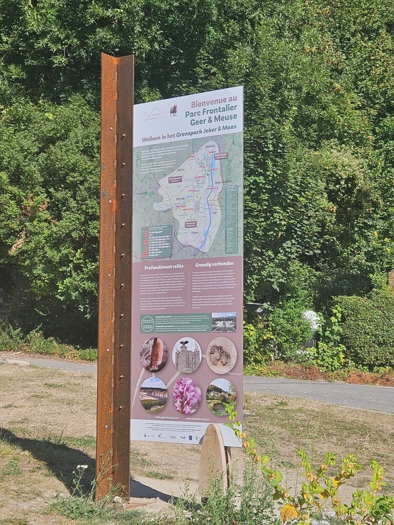
The heavy mountain boots of The Wandelgek crunched against the sun-baked flint and chalk trails of South Limburg, kicking up fine white dust that settled on his sweat-soaked shins. It was a brutally hot, cloudless August afternoon, and he was deep into the grueling fourth and final stage of the Dutch Mountain Trail now, pushing from Mheer toward the finish line in Maastricht. The trail had just plunged him into the heart of the Parc Frontalier Geer & Meuse, an arid, cross-border limestone landscape that on a day like this felt less like the Netherlands and more like a rugged Mediterranean mountain pass. With the mercury soaring past thirty-four degrees, the sheer limestone walls of D’n Observant acted like a natural kiln, trapping the radiant heat and reflecting a blinding, white glare.
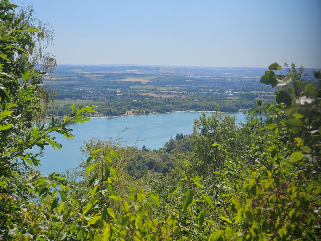
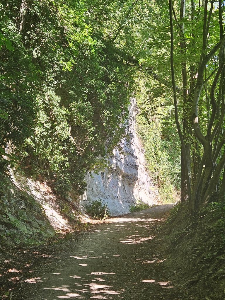 The Wandelgek squinted through his sunglasses and adjusted the straps of his light pack as he tackled the steep, calf-burning switchbacks of the final of the trail’s legendary Seven Summits. The steep, foresty slopes, which he climbed without his tracking poles, offered a lot of shade though, and his mountain shoes offered enough traction on the loose, chalky rubble until he reached the top, where he was rewarded with a staggering, wide-angle panorama of the deep blue Maas valley rippling with thick heat haze.
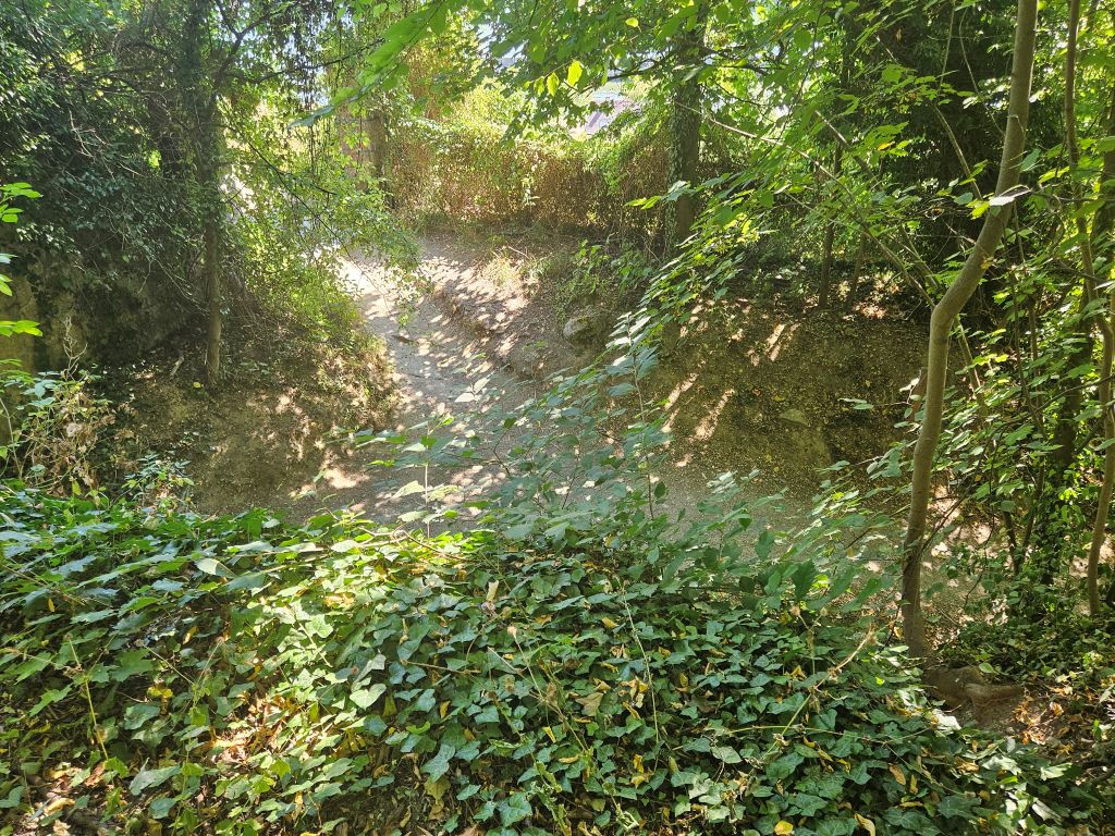
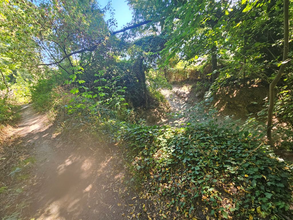
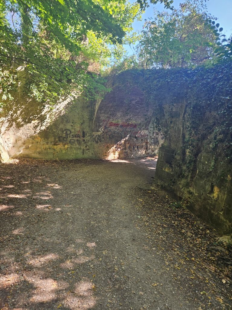
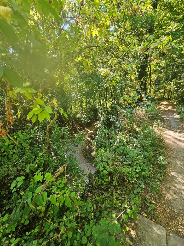
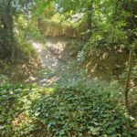
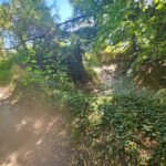
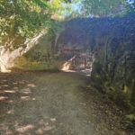
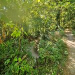
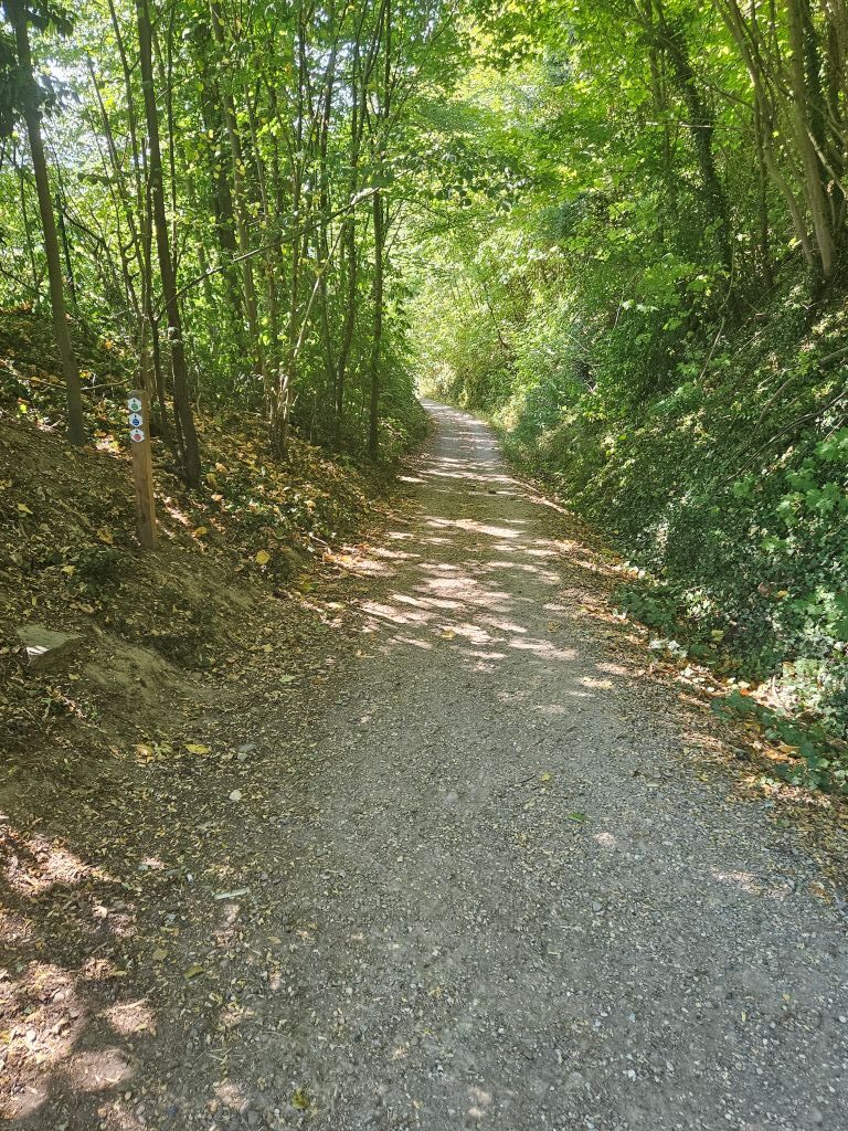 Then, just before the steep ascend, there was a stone bridge and a path leading op toward a view point.
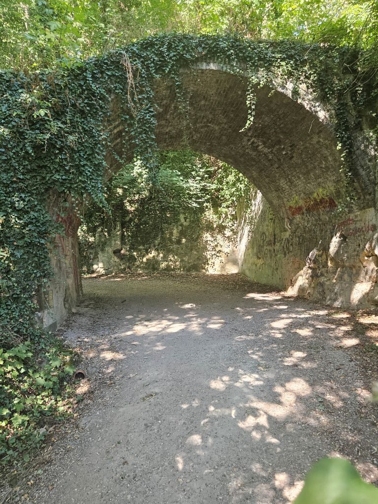
The Wandelgek took a little detour to the look out to take some photo’s, before going up the steeper slope. The views were great already, …
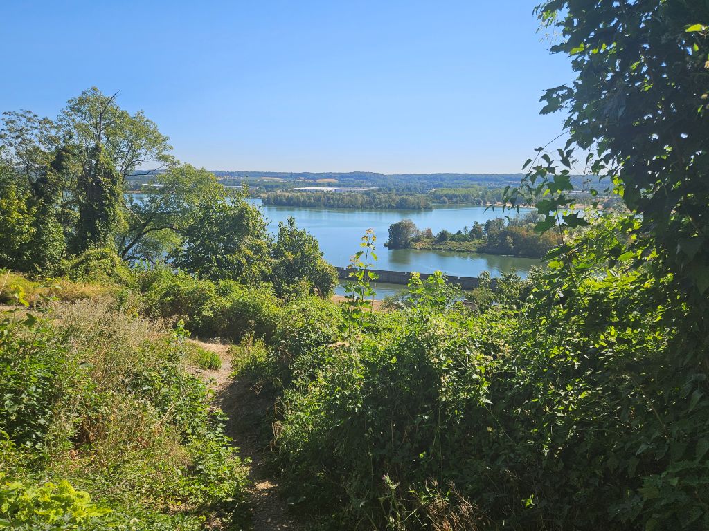
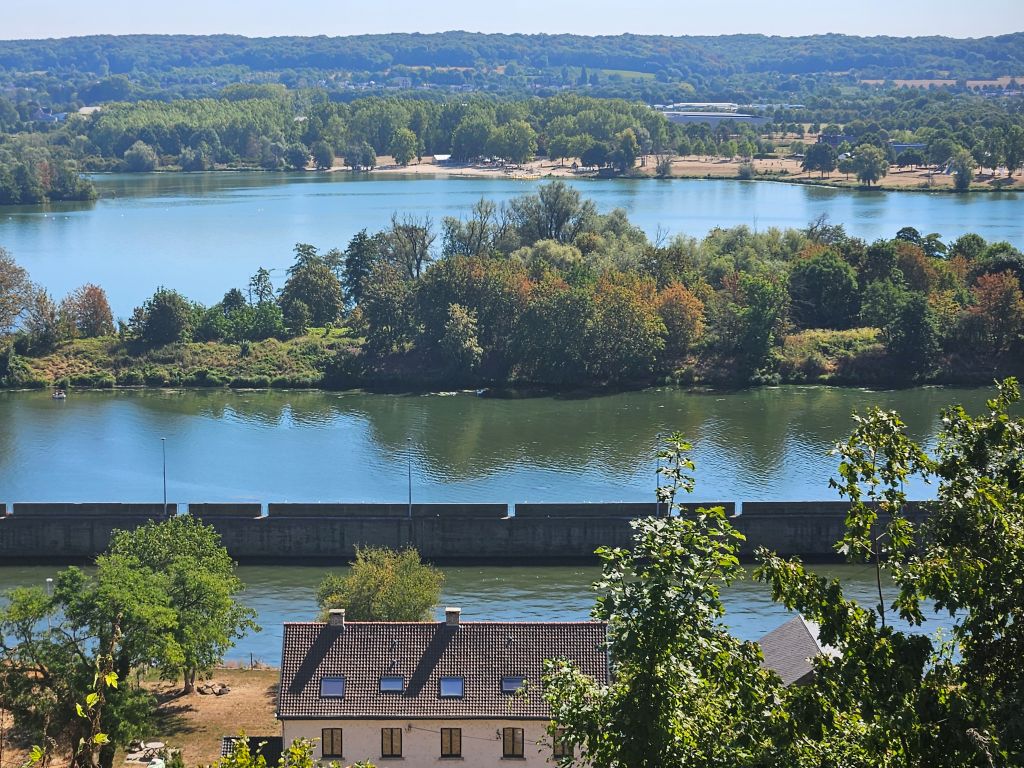
… but I also loved the short path leading up to the look out…
Up, up, up to the Observant (Observatery)
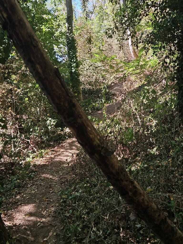
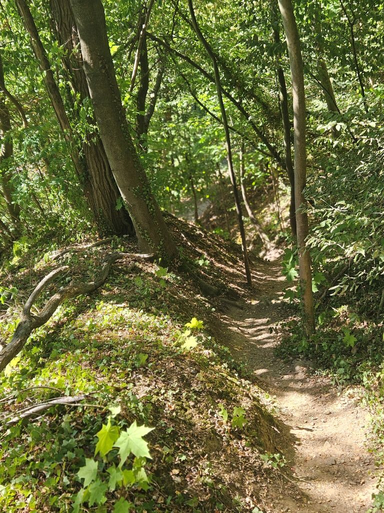
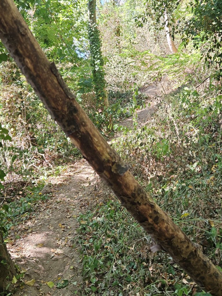
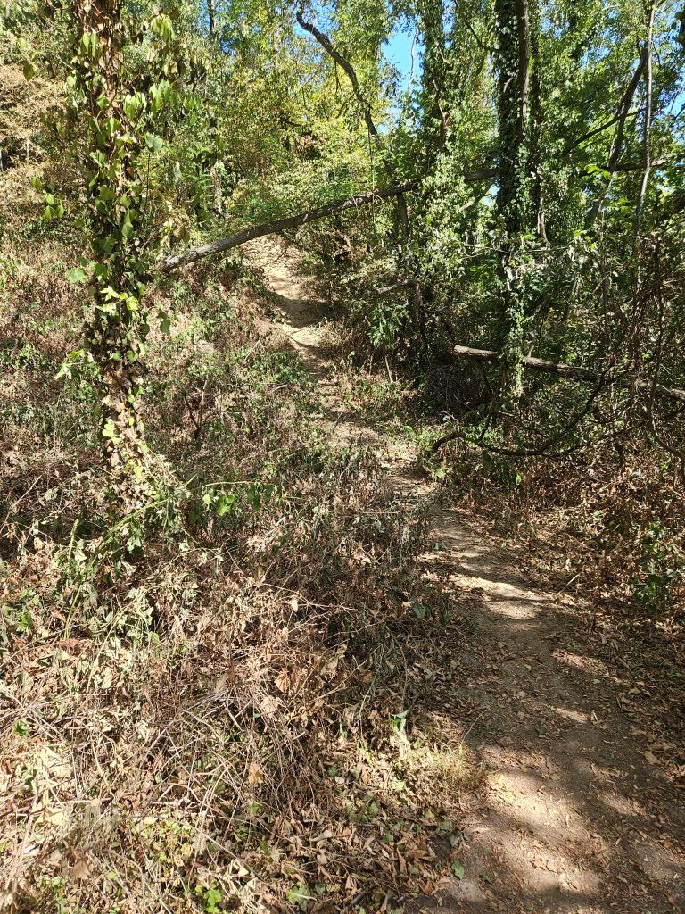
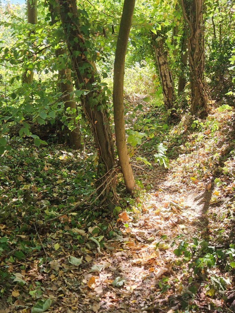
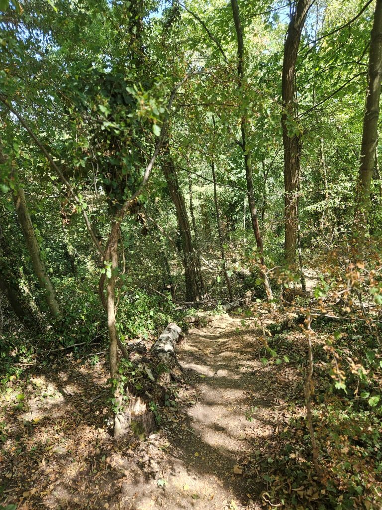
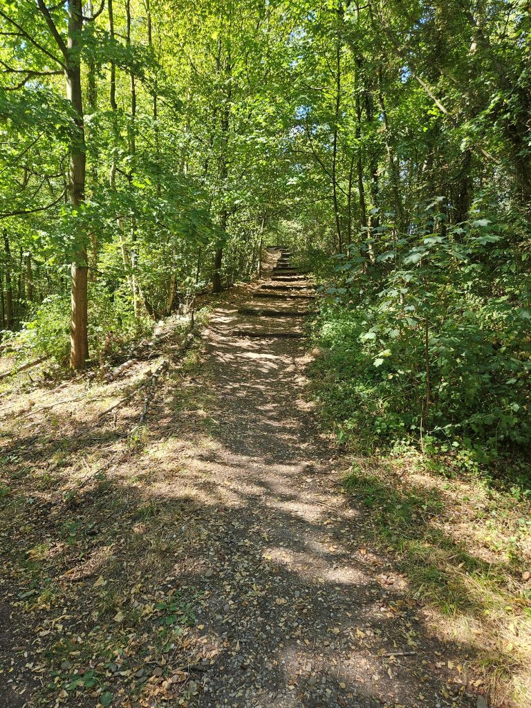
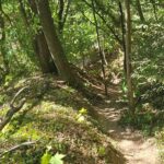
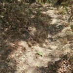
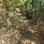
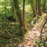
The next stretch is the most strenuous, because it’s the steepest, the trails are narrow and often obstructed by fallen trees to step or crawl over or creep underneath.
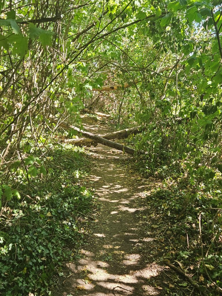
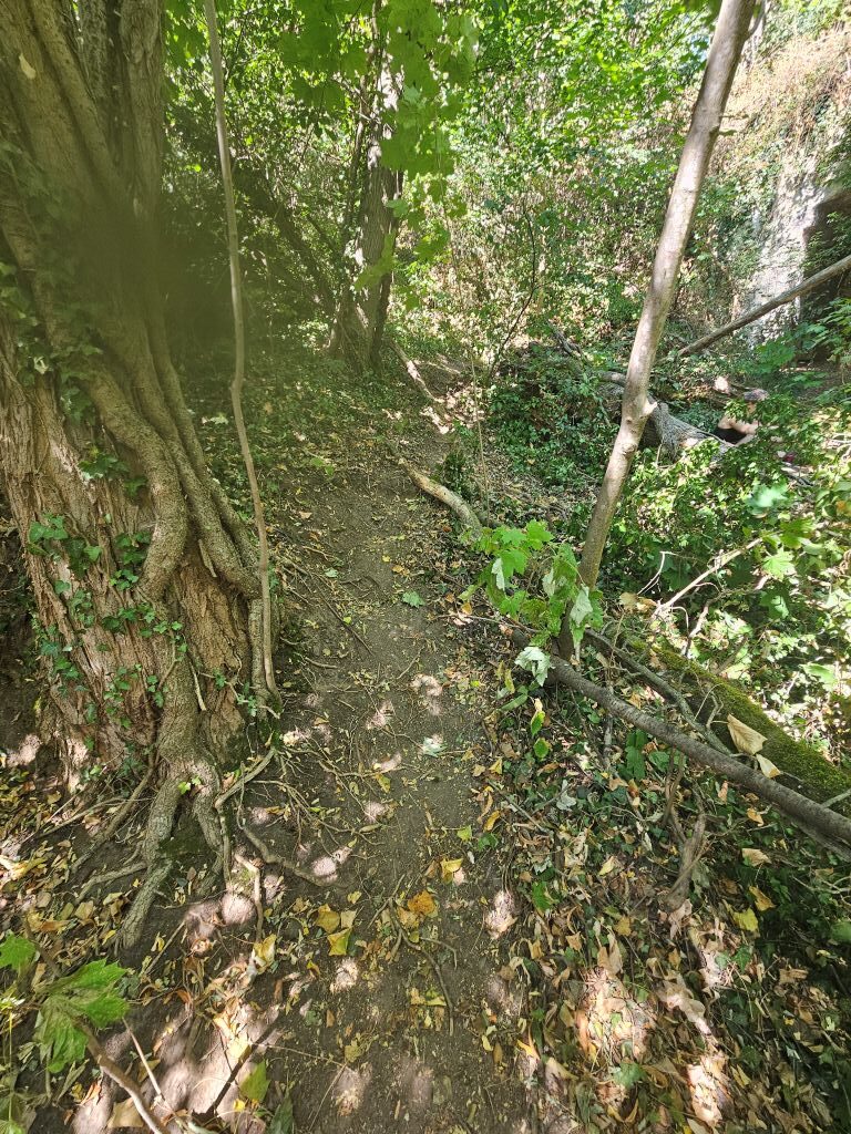
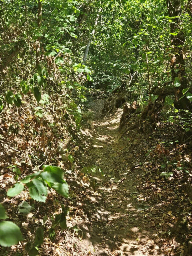
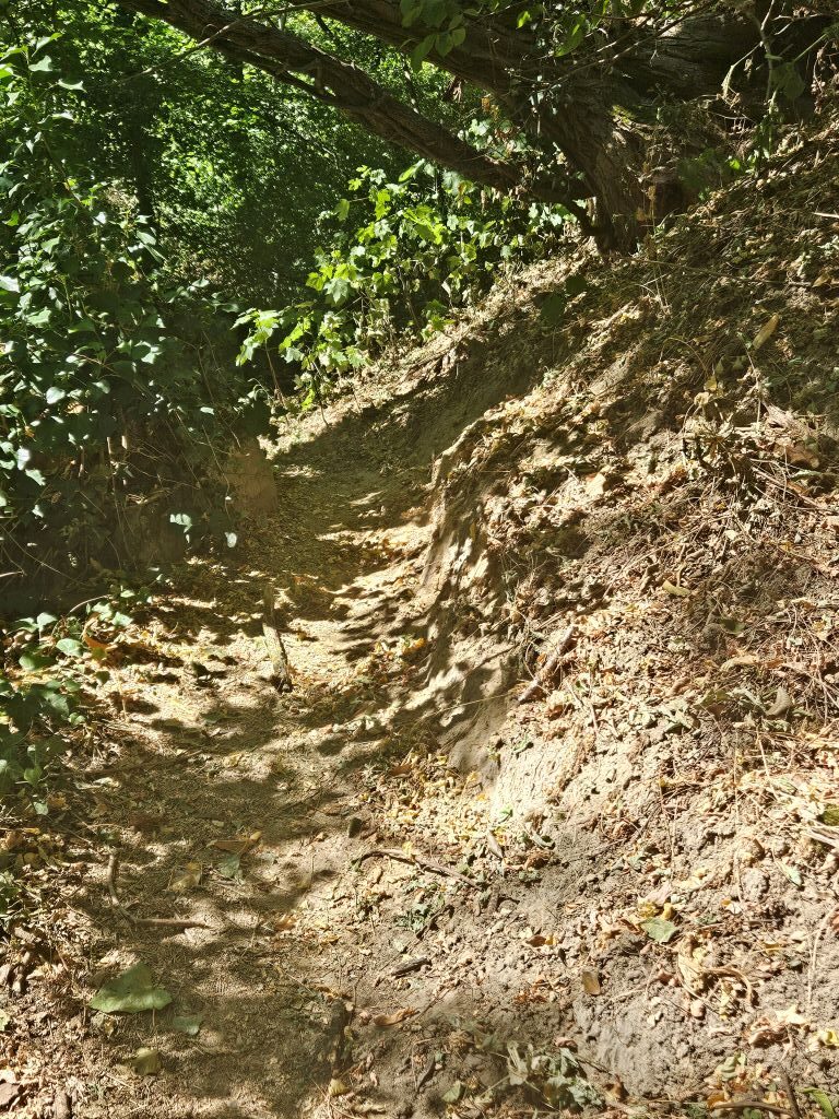
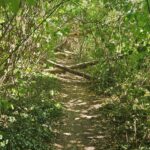
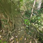
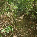
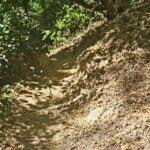
The views got very promising while reaching higher…
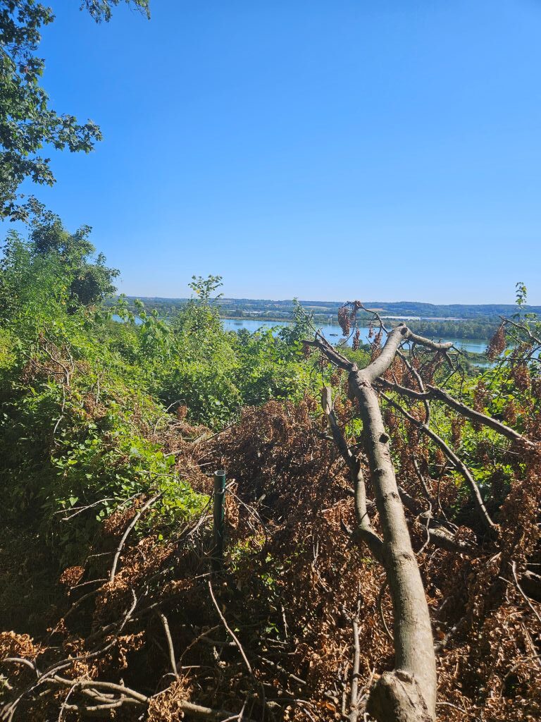
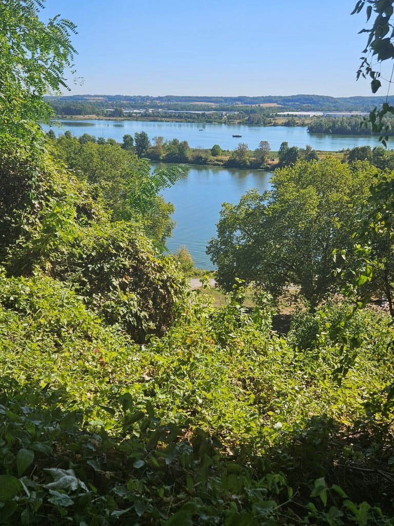
… and higher view points …
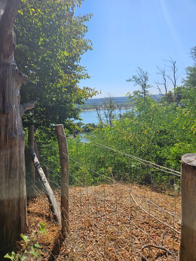
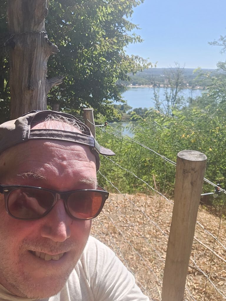
… while climbing it became clear to The Wandelgek how close he had gotten to thee Belgian-Dutch Border …
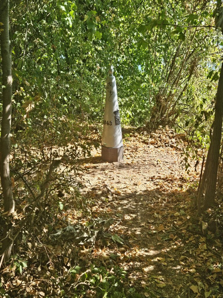
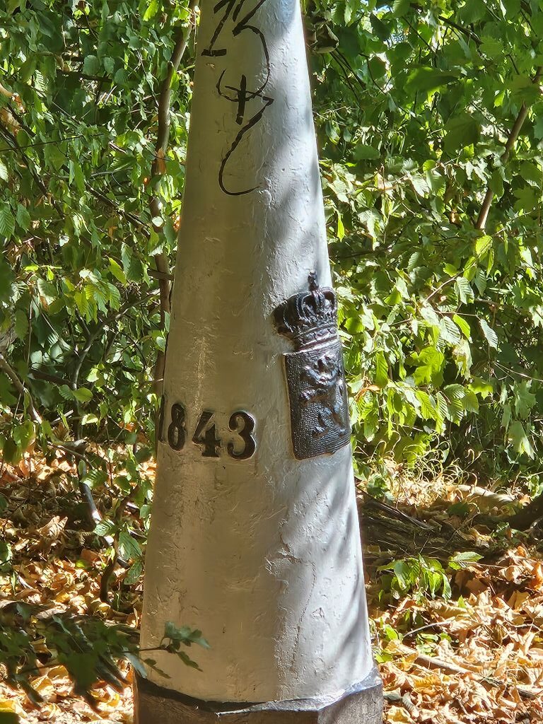
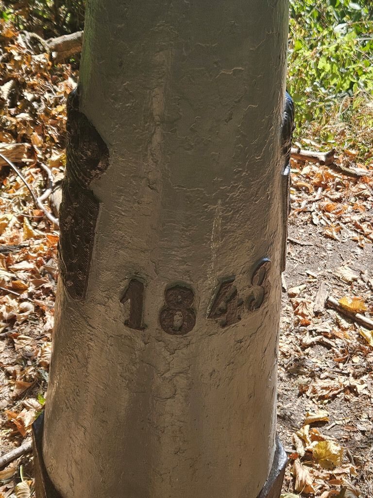
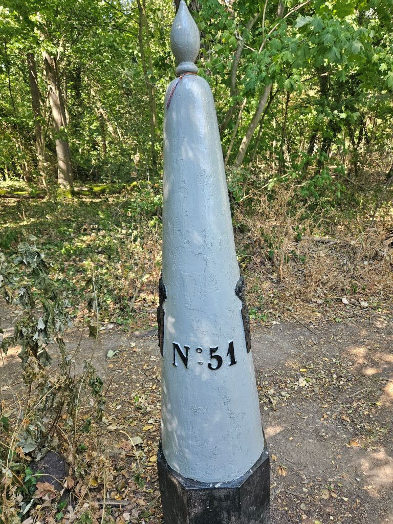
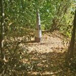
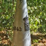
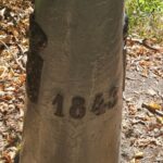
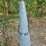
The border in this area and in fact in large parts of the Belgian and Dutch provinces of Limburg is quite strange and complex even after the border swaps mentioned earlier in this blog post. The border sometimes seems like a ball of wool being unwinded by a playful young cat cub, leaving a very wrinkly thread. Between Belgian and Dutch Limburg, the border is mostly formed by the Meuse (Maas) river. The other parts of the border are mostly on land. The city of Baarle-Hertog forms a Belgian exclave in the Netherlands. The border is complicated there, with Dutch exclaves inside it. The eastern end point is the tripoint (together with Germany) at Vaalserberg.
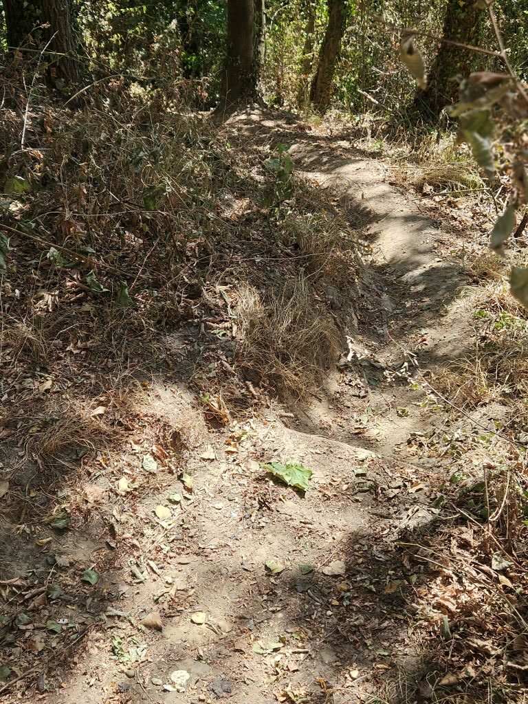
Halfway after a particularly nasty steep stretch, The Wandelgek decided to pause a bit, when his eye caught something which made him laugh very hard…
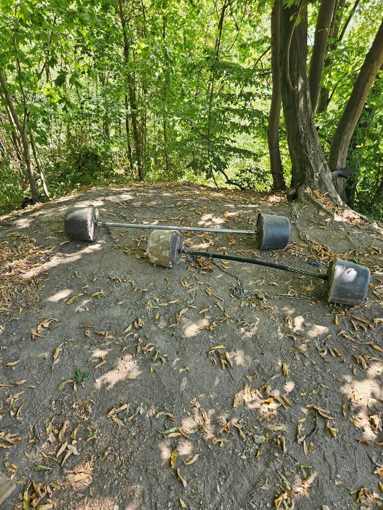
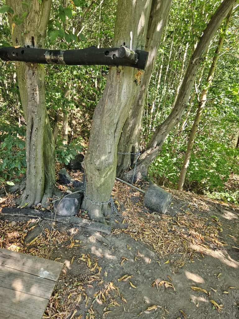
… Who was crazy enough to run up and down this hill and do a workout, with halters of concrete, halfway??? No really: WHO? Tell me!!!
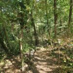
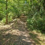
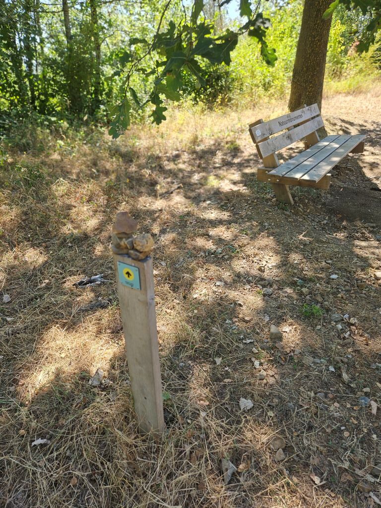
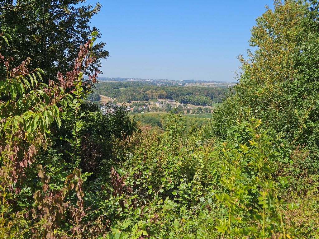
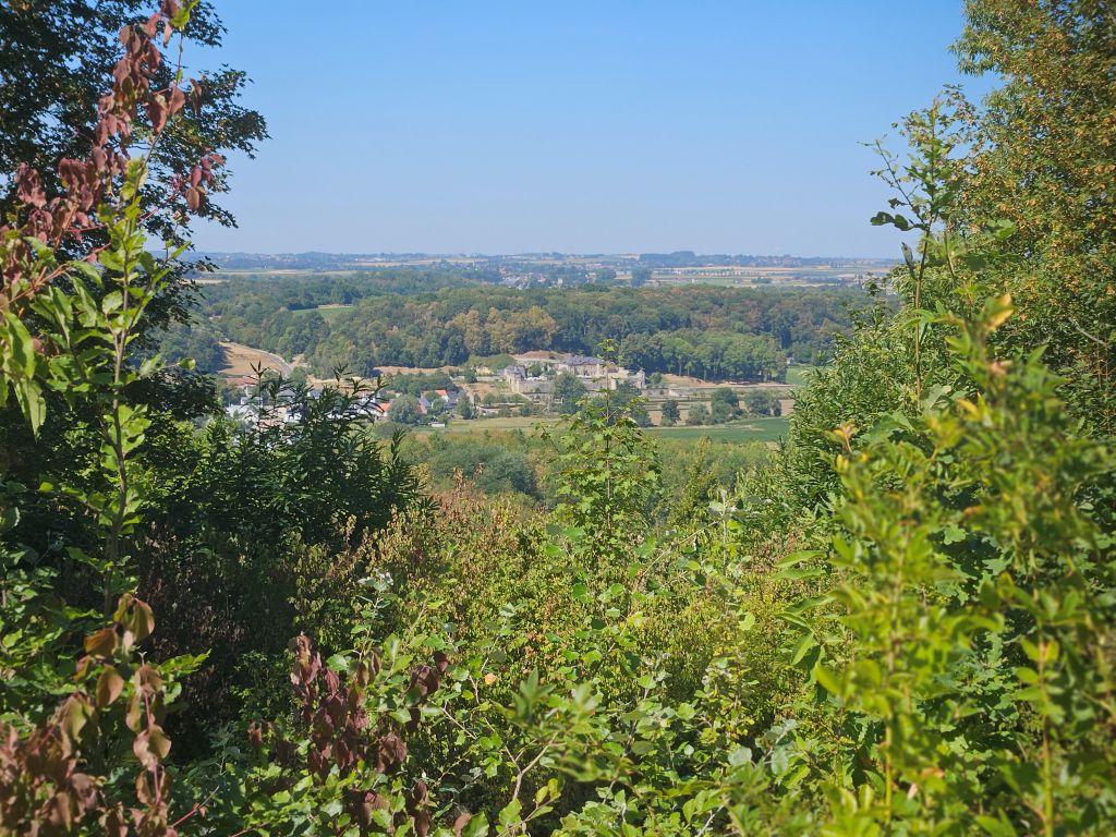
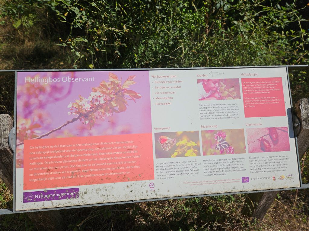
The views over the river get better and better though and it is quite rewarding to reach the 342 m. high summit no. 7 (the last one) of the Observant (the Observer), and put a stone on a pile like all serious walkers do.
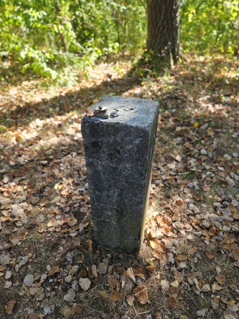
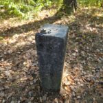
On top there once had been a watch tower to oversee the surroundings. Now only a monument remains, remembering of that…
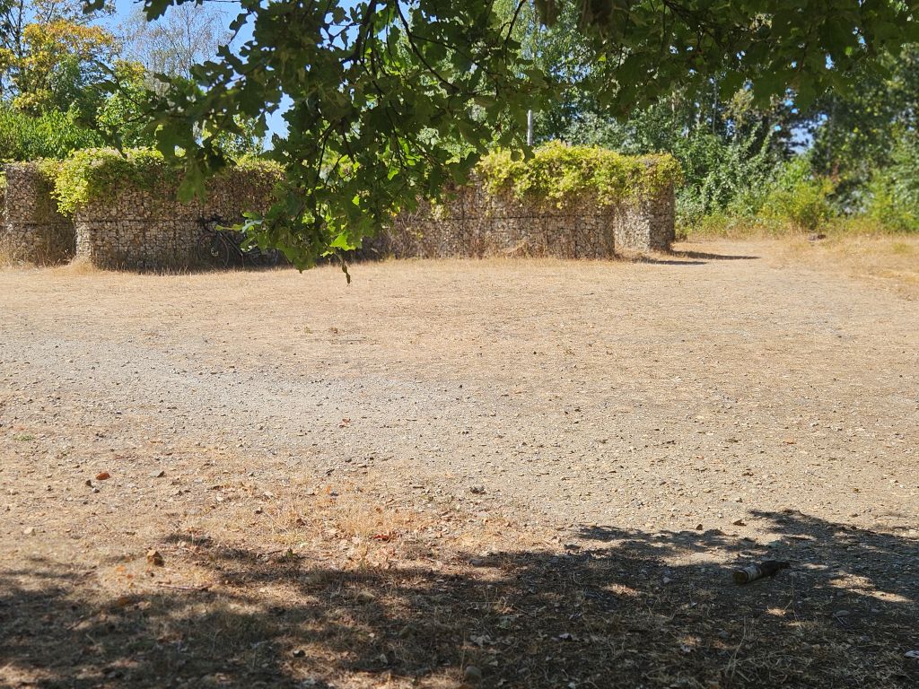
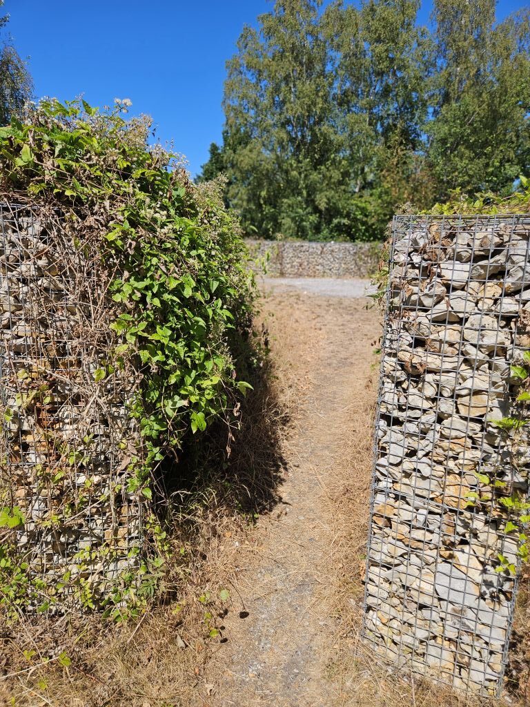
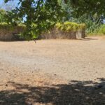
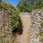
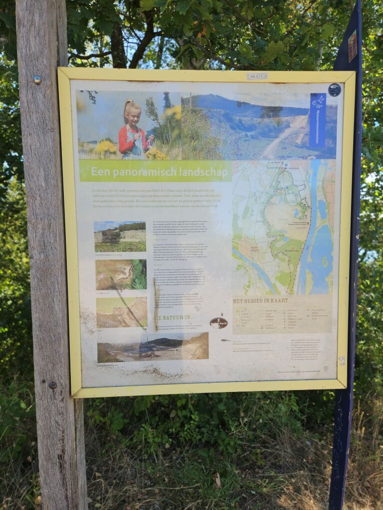
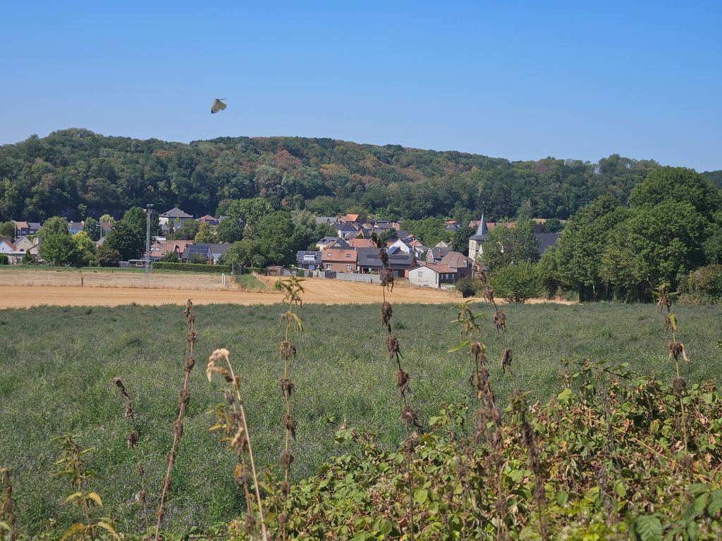
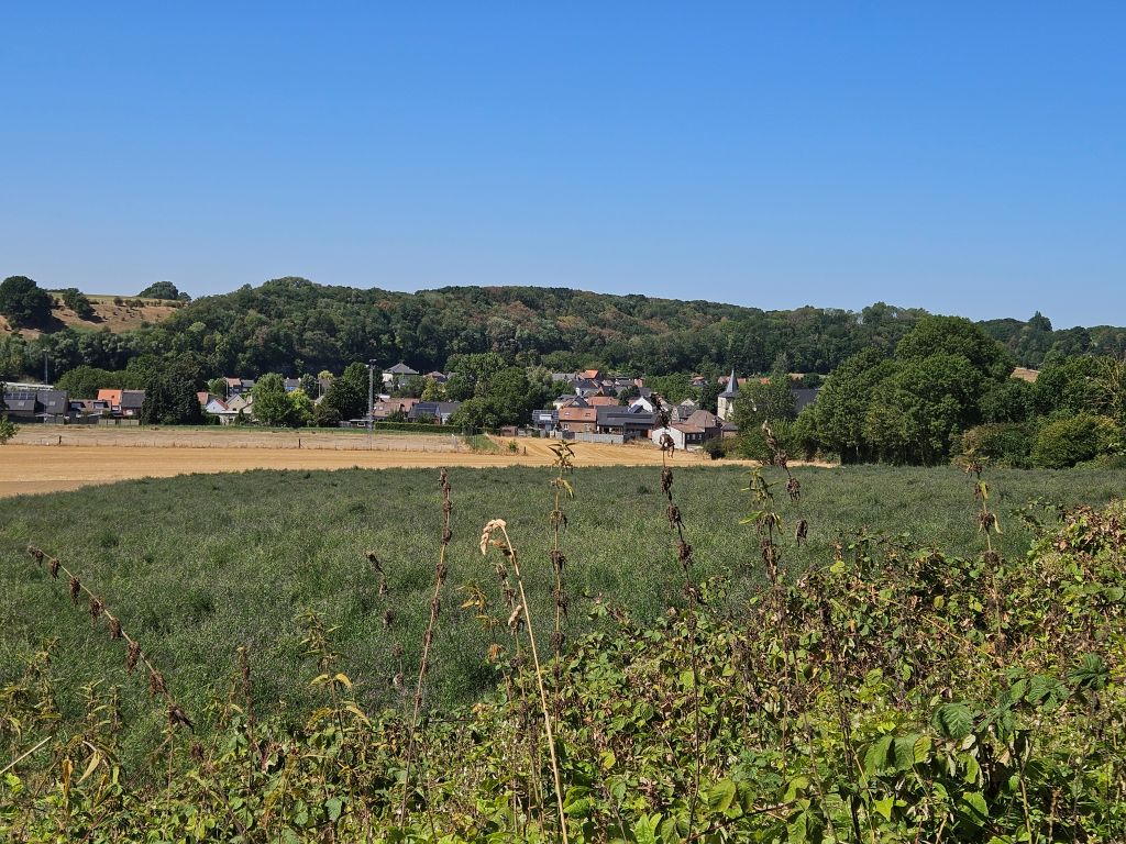
Views from the summit …
Next The Wandelgek walked …
Down, down, down into the Jeker river valley
Leaving the forested summit behind, the trail dropped steeply down from the highland into the lush, heat-trapping trench of the Jeker valley, marking the transition between the two great ridges of the day. The route did not climb into the estate grounds of Château Neercanne, but instead led him right past it, where he stared longingly toward the beautiful, shaded baroque terraces and imagined the cold wine cellars hidden within the dark cave entrances. Bypassing the heart of Kanne, he followed the trail as it tracked near the edge of the Saint Peter’s Mountain, checking his park markers while sweat dripped into his eyes and the flat valley floor offered absolutely no protection from the blazing afternoon sun.
 Kanne (Kan) is a village in the municipality of Riemst in the southeastern part of the Belgian province of Limburg. As of 2021, the village has 1,162 inhabitants, a significant number of whom have Dutch nationality. Kanne is situated right on the border with the city of Maastricht in the Dutch province of Limburg. It is also on the border with the Walloon municipality of Visé. Kanne is situated in the valley of the river Geer (Dutch: Jeker) between Cannerberg (part of the Hesbaye Plateau) in the west and Mount Saint Peter (Caestert Plateau) in the east. The village is also situated on the Albert Canal, at the western end of the canal’s passage through Mount Saint Peter.
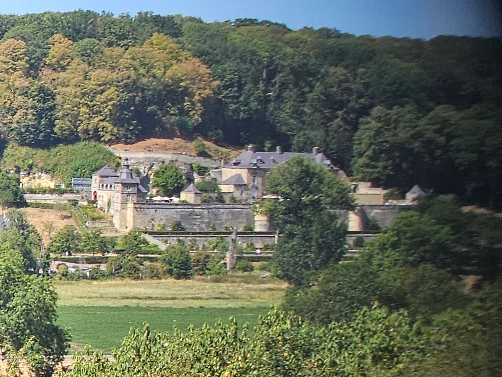
A major historical monument in Kanne is Château Neercanne, although technically it is not in Kanne but a few meters across the border in Maastricht, the Netherlands. The meaning of the name Neercanne is “lower Kanne”, as it is situated lower, downstream from the river. Château Neercanne (also known as Agimont or kasteel Neercanne) is a restaurant located in Maastricht in the Netherlands. It is a fine dining restaurant that was awarded one or two Michelin stars in the periods 1957-1982 and 1986–2018. In 2013, GaultMillau awarded them 16.0 points (out of 20). Head chef in the Michelin period, were, amongst others, Theo Koch and Ber Stassen. Present head chef is Robert Levels.
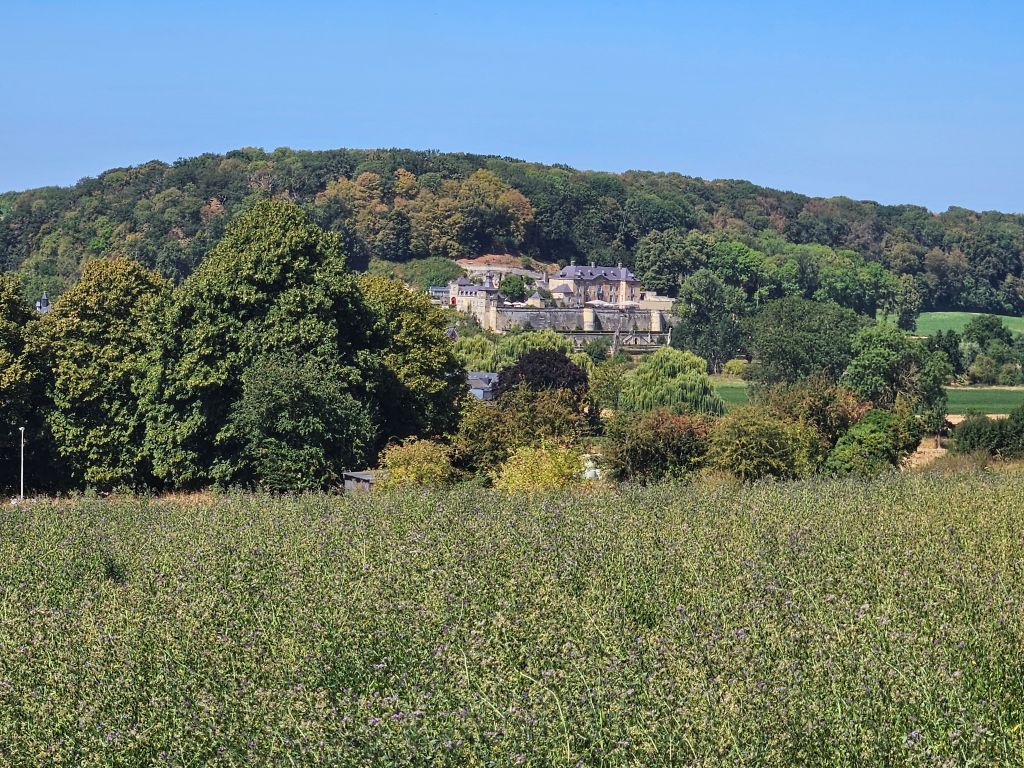
It is built on a site that was already in use by the Romans. The caves, created by mining blocks to build the fortifications, still exist. They are now in use as the wine cellar of Neercanne. In 1465 the castle was destroyed by the people of Liège during the Liège Wars. The outbuildings and the prominent corner tower were built in 1611, in the Mosan style. The main building was built in 1698 by Daniël Wolf van Dopff, lord of Neercanne, at that time the military governor of Maastricht. All present buildings are built from marl. In the valley in front of the castle flows the river Jeker and is a baroque garden, reconstructed to the original design.
He also walked past the Duivelsgrot (Devil’s Cave).
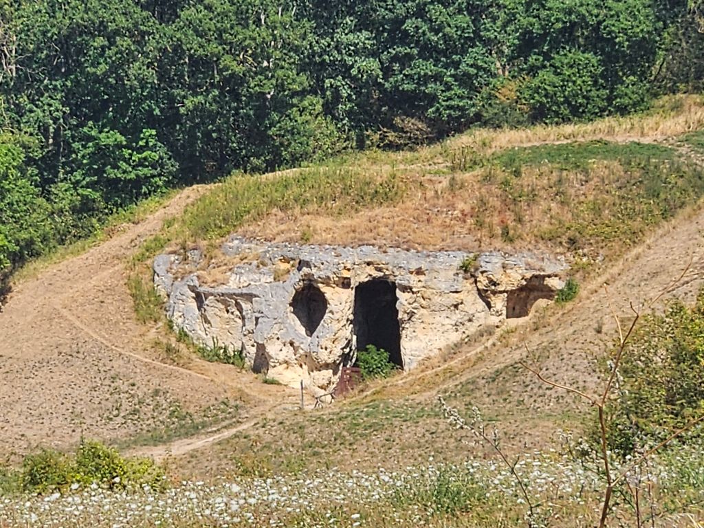
The Duivelsgrot (Devil’s Cave) or Wijngaardgroeve (Vineyard Quarry) is a small network of passages within the Sint-Pietersberg—part of the Caestert Plateau—located on the side of the Jeker Valley. The quarry is situated south of Maastricht in the Dutch region of South Limburg. At the location of the quarry, the Poppelmondedal dry valley opens into the Jeker Valley. The quarry entrance lies less than 200 meters from the Belgian border and approximately 400 meters northeast of Kanne.
The Nieuwe Marendal Quarry was formerly located about 530 meters to the northeast, while the Oude Marendal Quarry lies approximately 530 meters to the north. The southwestern quarry face of the ENCI quarry is situated about 250 meters to the east.
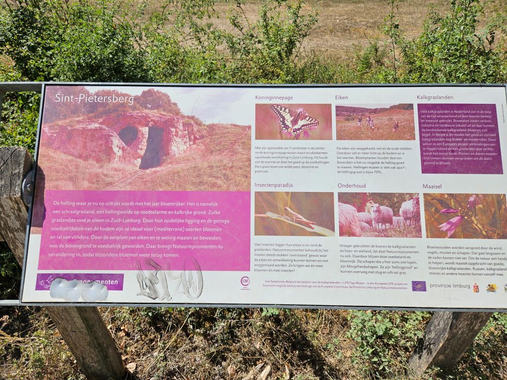 The slope where the quarry is located is known as the Poppelsberg. The common rock-rose (*Helianthemum nummularium*) grows in the nearby Poppelmondedal valley; rare calciphilous (lime-loving) plants are also found there.
The quarry was worked by stone cutters to extract limestone blocks. For a long period, it served as an animal shelter and a storage area. The name may originate from the Old Testament, which mentions that the Antichrist (a worthless shepherd)—associated with the devil—is blind in one eye: Zechariah 11:17 (“Woe to the worthless shepherd who abandons the flock! May the sword strike his arm and his right eye! May his arm wither away and his right eye go blind!”). In the spring of 2021, Natuurmonumenten sealed the entrance with a Corten steel screen due to the risk of collapse. Consequently, the ‘Devil’s Cave’ (Duivelsgrot) is no longer accessible.
Up the Sint Pietersberg (Saint Peter’s hill)
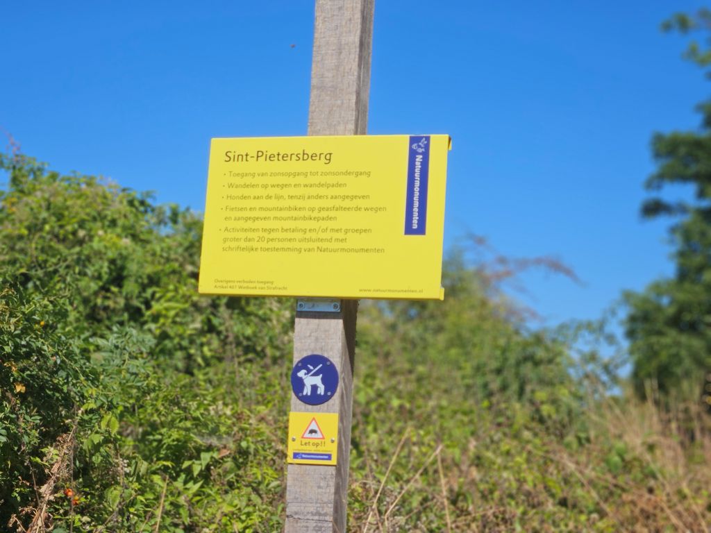 Mount Saint Peter (French: Montagne Saint-Pierre; Dutch: Sint-Pietersberg), also referred to as Caestert Plateau, is the northern part of a plateau running north to south between the valleys of the river Geer/Jeker to the west, and the Maas/Meuse to the east. The plateau runs from Maastricht in the Netherlands, through Riemst in Belgian Limburg almost to the city of Liège in Belgium, thus defining the topography of this border area between Flanders, Wallonia and the Netherlands. The name of the hill, as well as the nearby village and church of Sint Pieter and the fortress of Sint Pieter, refers to Saint Peter, one of the Twelve Apostles.
The plateau, of which Mount Saint Peter is part, is bounded on the east by the Maas/Meuse river (Dutch: Maas) and on the west by the Geer (Jeker). Since the 1930s, the Albert Canal divides the hill in two sections. Near the small Liège Province village of Lanaye (Dutch: Ternaaien), the canal cuts through the ridge over a length of 1,300 metres (4,300 ft) and 65 metres (213 ft) deep. The Lanaye locks at the eastern end of the cut permit boats to pass from the upper Maas/Meuse and the Albert Canal to the lower Maas/Meuse and Rhine basin. To the east of these locks the Maas/Meuse has altered its course, creating backwaters and old channels.
Mount Saint Peter’s limestone composition, its deposits of flint nodules and its geographic position make it a remarkable place. The locale has been mined for flint since Neolithic times. The network of mining tunnels extended 200 kilometres (120 mi) by the 19th century but was severely shortened in the 20th century by surface mining. These days, Mount Saint Peter is considered an important nature reserve, as well as an area for recreation and tourism.
With Neercanne now fading into the shimmering heat haze behind him, The Wandelgek braced his core for the final psychological hurdles atop Mount Saint Peter.
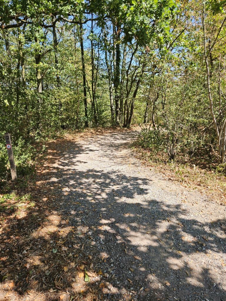
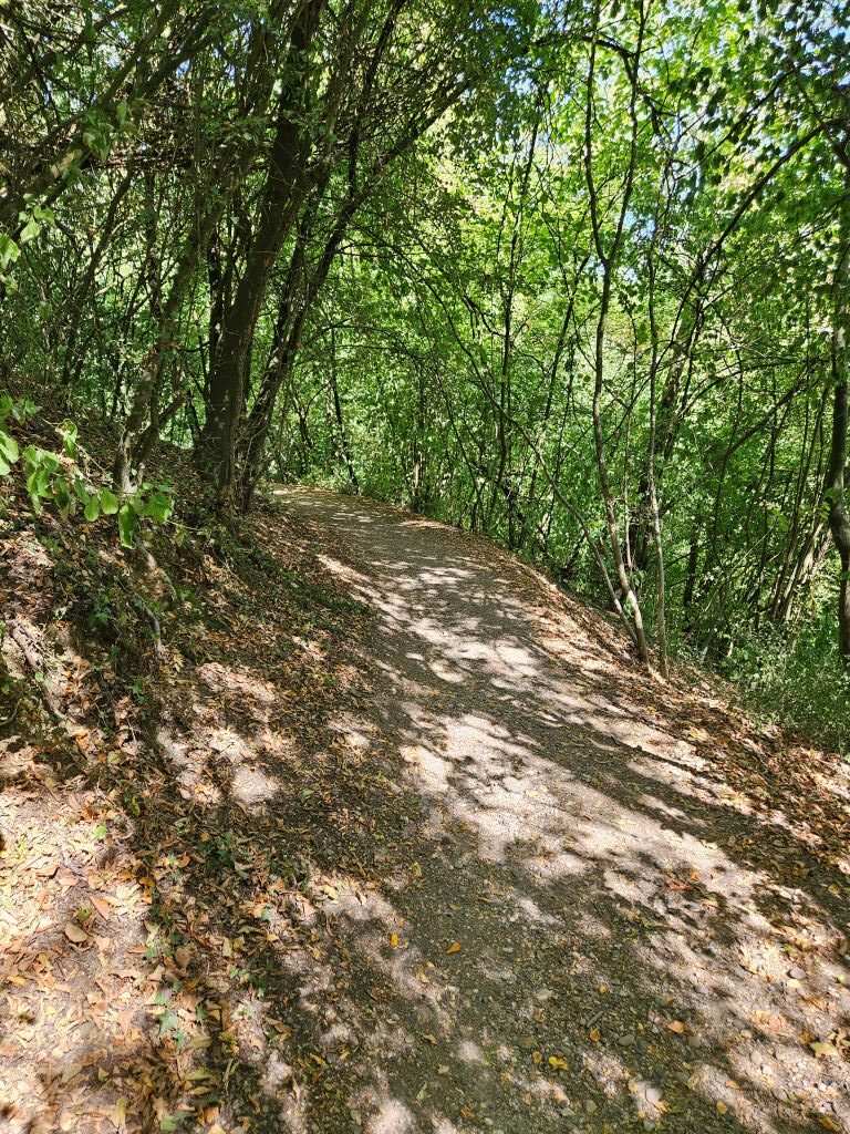
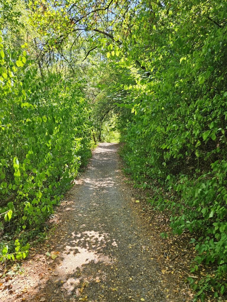
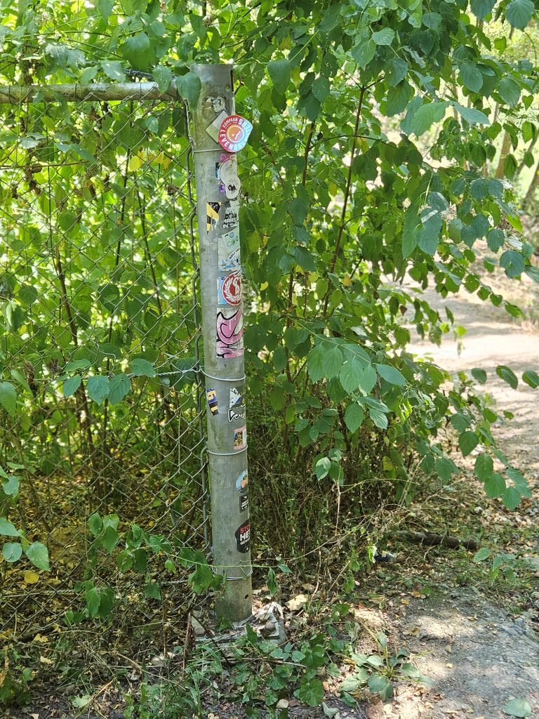
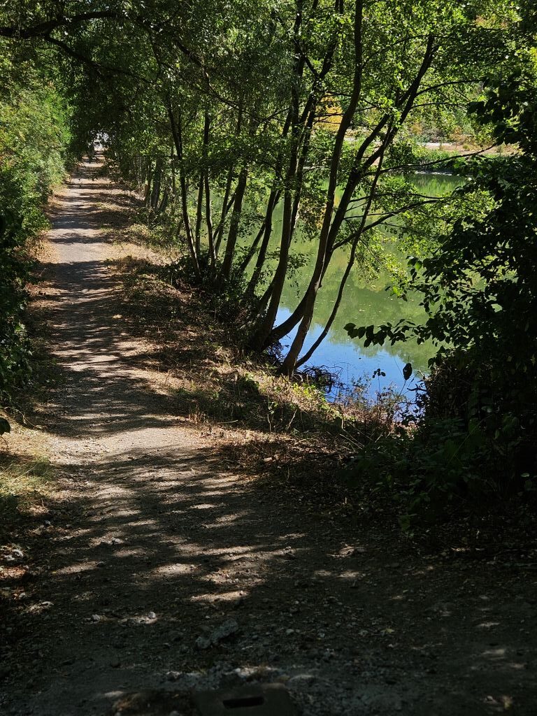
In the part of Mount Saint Peter that is in the Flemish municipality of Riemst, archaeological evidence of an Iron Age fortress has been found. The fortress is one of the strongest contenders for being identified as the fortress Atuatuca of the Eburones, which played an important role in Julius Caesar’s commentaries on his wars in Gaul. Dendrochronological evidence was once thought to count against this proposal, but more recent review of the evidence has reinvigorated the idea.
During the Middle Ages several castles were built on the hill, of which various ruins remain. The hill was favoured by attackers during the various sieges of Maastricht, most notably by Louis XIV of France in the Siege of Maastricht (1673). As a result of this, the fortress Sint-Pieter was built on the northern edge.
From 1930 through 1939 the Albert Canal was constructed, cutting through parts of Mount Saint Peter. The first ships went through in 1940. The hill’s strategic location made it the site of Fort Eben-Emael (1931–35), a major artillery defence point in the Belgian defences against any invading forces coming from Nazi Germany. At the opening of the war, the entire installation was taken quickly by a relatively small number of German paratroopers. During World War II, the hill’s managed to later serve as a hideout for the art collection of the Dutch Mauritshuis art museum until the liberation of the Netherlands in May 1945.
After having ascended up to the level of the margl quarry, The Wandelgek walked on past a quiet, shady lake …
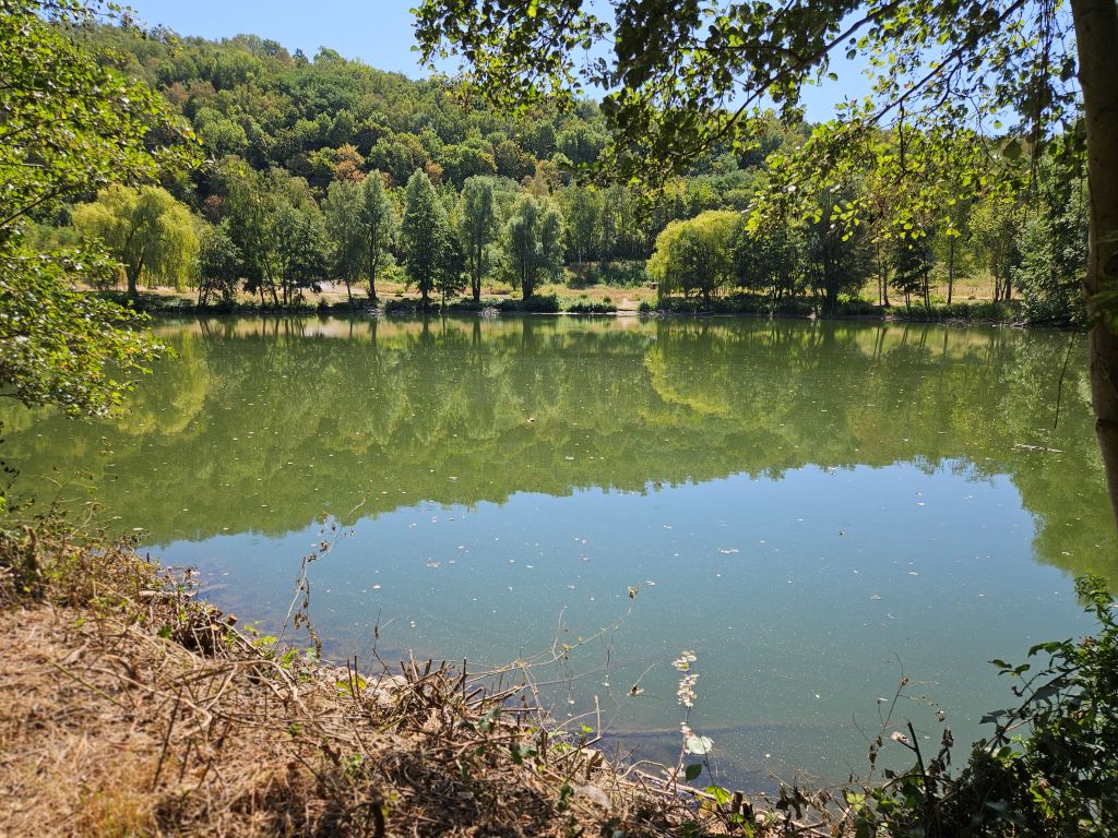 … before reaching the sun bleached:
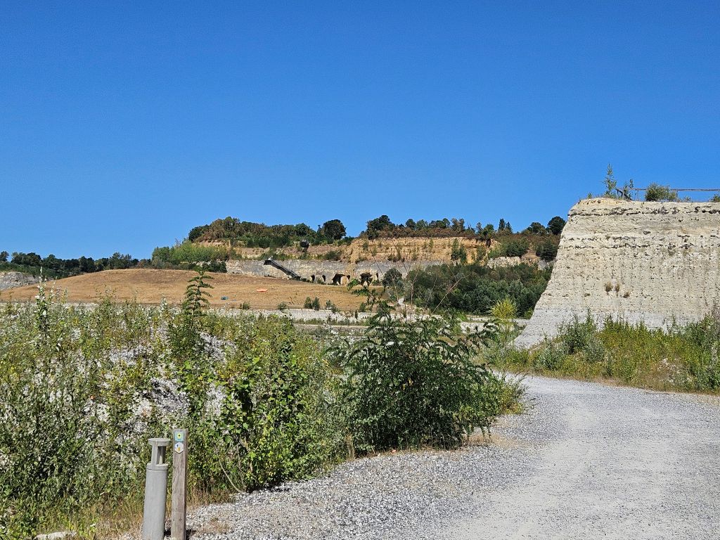
Old ENCI Marl Quarry
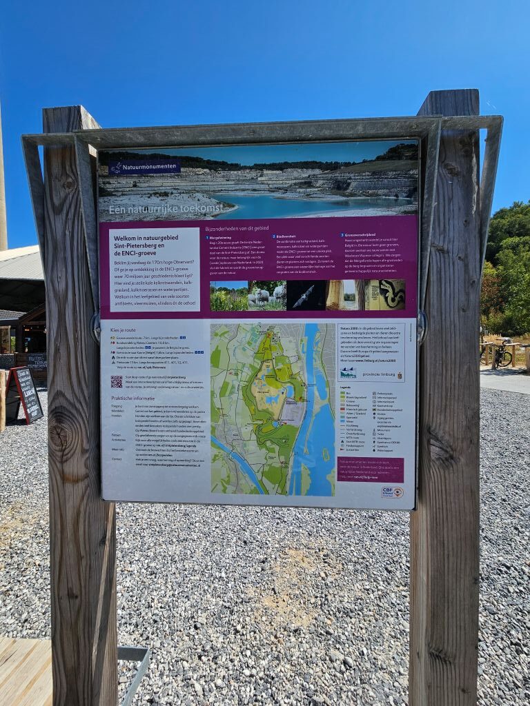 The ENCI quarry is a massive limestone quarry gouged into the Meuse-river side of Mount Saint Peter, which forms part of the ancient Castert Plateau in the Dutch municipality of Maastricht. Open-cast mining of this limestone, locally known as marl, officially began here back in 1926 with the founding of the First Dutch Cement Industry, or ENCI. This soft stone served as a vital raw material for large-scale cement production for nearly a century, transforming the local landscape until the industrial marl extraction was permanently halted on July first, 2018.
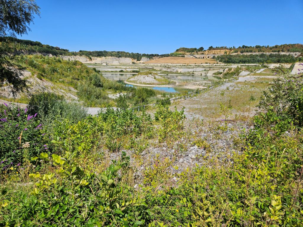
At Mount Saint Peter the rivers Geer/Jeker and Maas/Meuse have cut into the limestone plateau known in the east as the Herve plateau and in the west as Hesbaye. The succeeding geologic layers include loess, gravel, quartz sand and chalky limestone of the Maastricht Formation with inclusions of flint. The chalk deposits contain numerous fossils of sea urchins, clams and belemnites.
Humans have used the site since the Lower Paleolithic period. The area around Spiennes is known for its flint mines. Limestone has been quarried in the area for building stone and fertilizer for many centuries. Several of Maastricht‘s medieval churches were built from local stone, incorrectly referred to as mergel (marl). The quarrying of limestone has created a vast network of subterranean corridors, also incorrectly referred to as grotten (caves). Although vast sections of these “caves” have now disappeared through surface mining, other sections are well-preserved. Guided tours of these limestone quarries, some with ancient inscriptions, drawings and other works of art, constitute one of Maastricht‘s main tourist attractions.
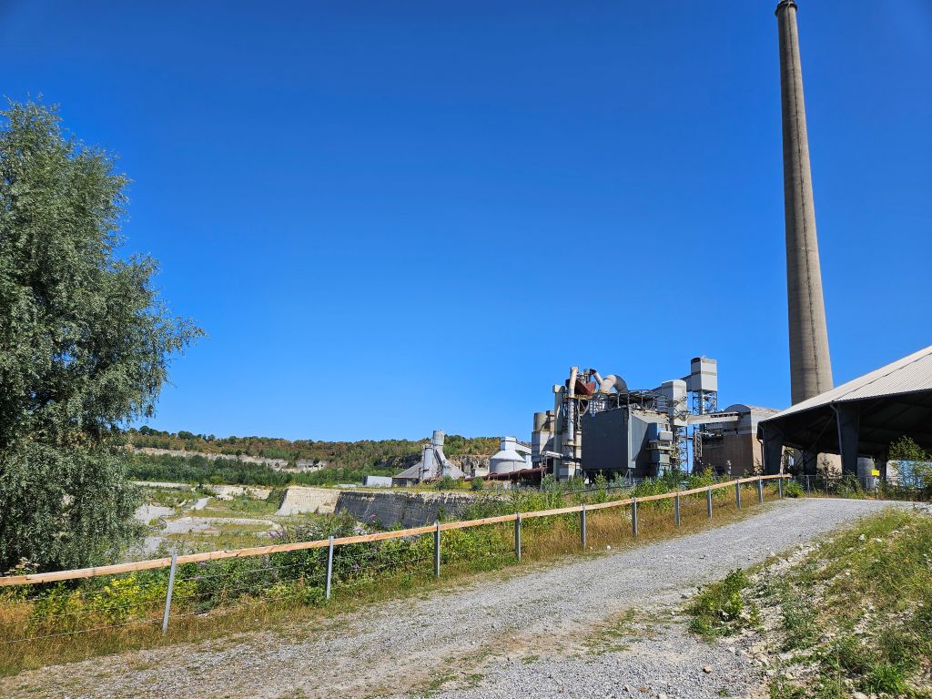
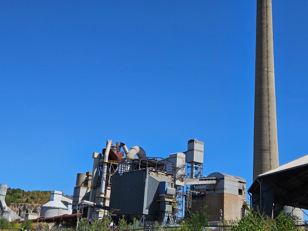
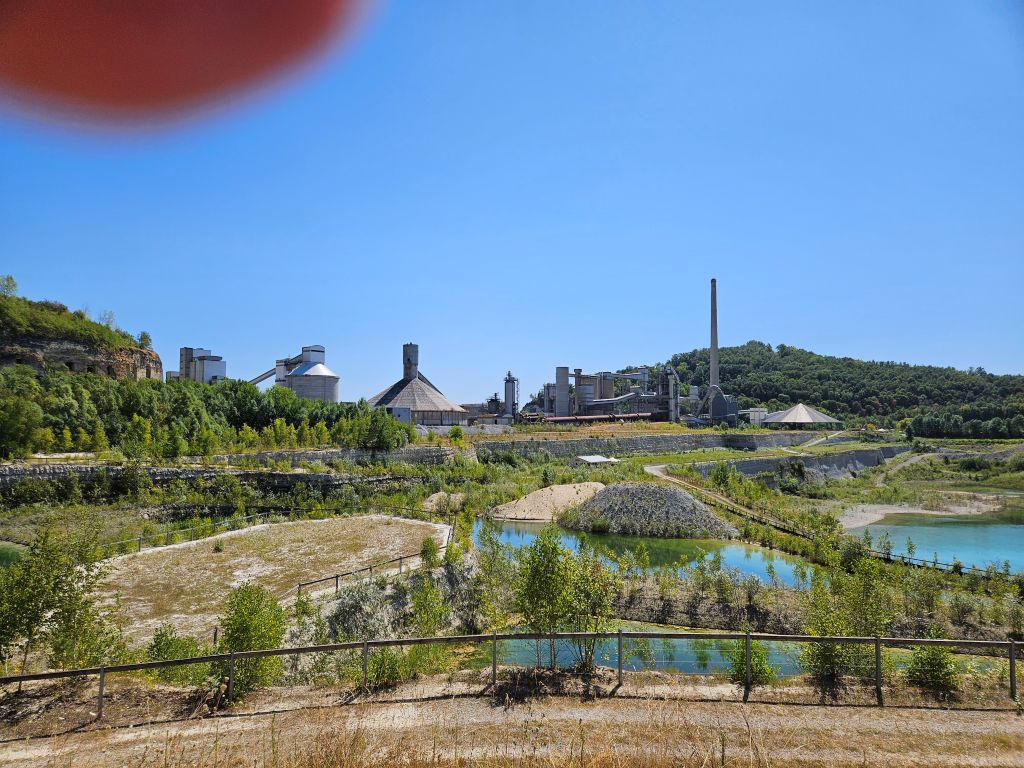
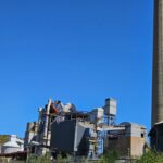
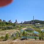
In modern times limestone from Mount Saint Peter continues to be quarried in surface mines, mainly for portland cement production. Abandoned quarries in the Belgian part of the hill are used to dispose of ashes from municipal waste incinerators. A large quarry and cement factory operated by ENCI exists since 1921 in the Dutch part of the hill. The quarrying of limestone in a protected nature area was controversial for many years but for economic reasons ENCI was able to extract most of the mount’s limestone, creating a vast area of connected quarries. In 2010 it was decided that by 2018 the quarry will close down. Various plans for redevelopment of both the quarry and the factory site have been presented in recent years. Parts of the quarry that were abandoned years ago have been taken over by nature once again.
The Margl Caves
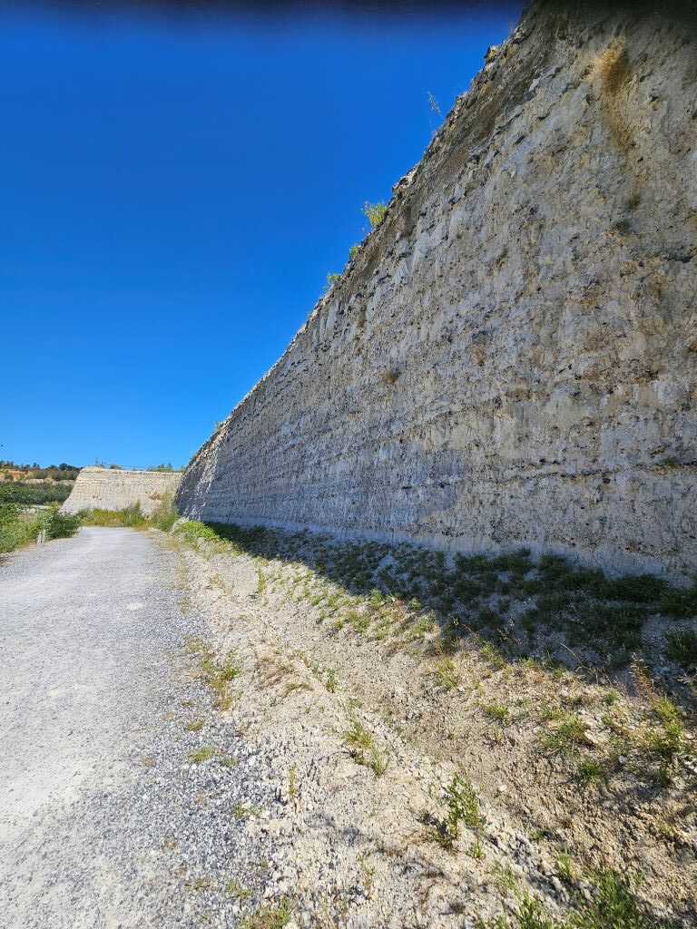 The Wandelgek walked on past the man made steep Margl Cliff sides …
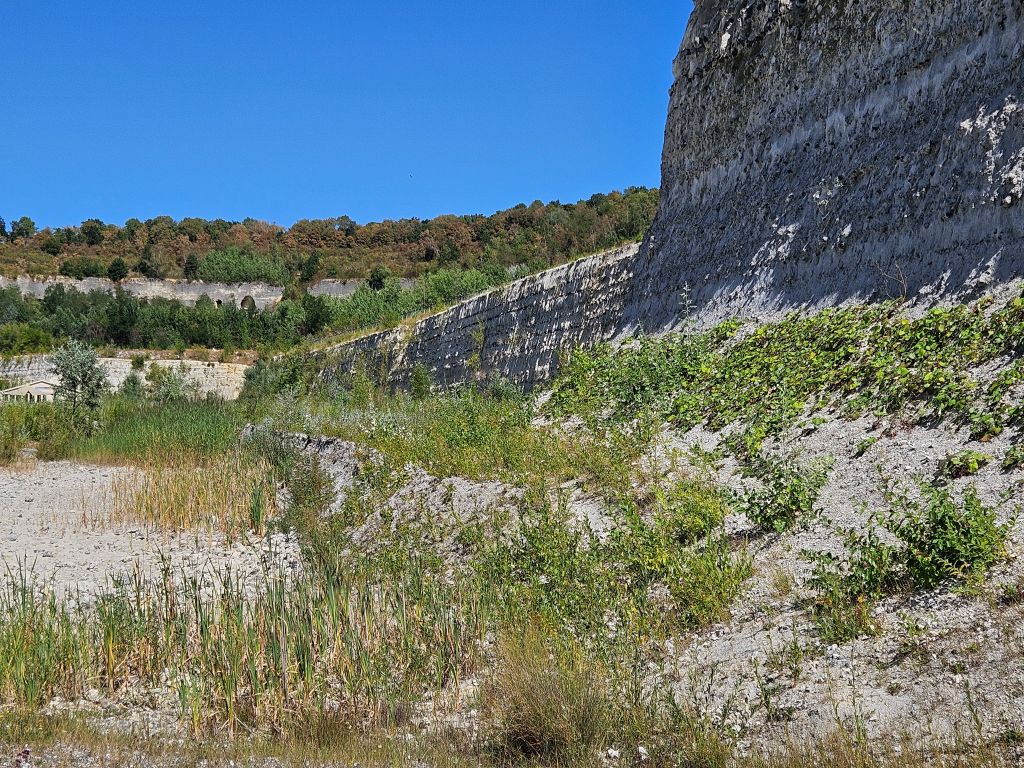 The Sun shone burning hot and I felt like a sausage in a oven, until I got even more worried about reaching some shade, seeing a steep metal stair going up to Mount Saint Peter’s top.
Luckily The Wandelgek also noticed some cave entrances beneath the stairs. The Caves of Maastricht, also known as the caves of Mount Saint Peter or the Maastricht Underground, are a collection of limestone quarries in Maastricht, the Netherlands, the origins of which date back to the 13th century.
 They were originally dug to mine chalk. In total, a network of 20,000 tunnels were cut into the stone, of which 8,000 are still intact.
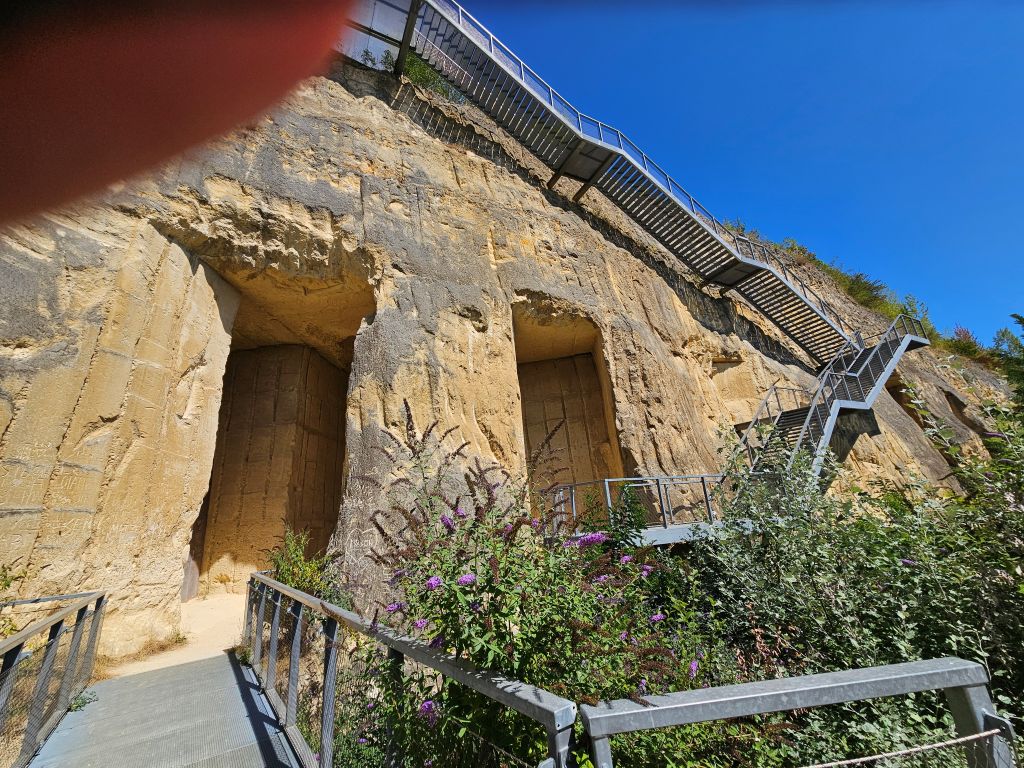 The quarries were eventually no longer used for mining, as the value of lime dropped. Over the centuries, art was drawn on the quarry walls, providing an attraction to tourists who can tour some of the quarry sections.
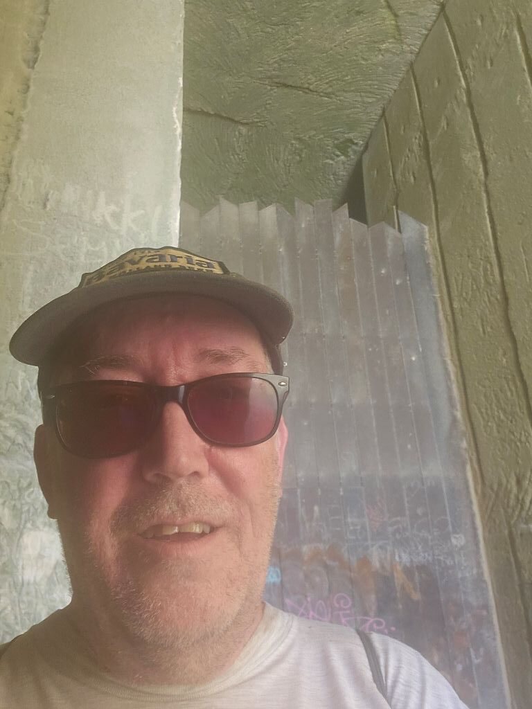 The caves were just the place to cool down a bit, have a few ice cold gulps of water…
During World War II, the quarry was used to store valuable paintings and armaments that could be used against the Germans, including a proposed force of 30 tanks that would sortie against the Germans that was timed to attack at the same point of liberation. In addition to the military, over 6,000 citizens took shelter in the quarries during World War II. After the war, there were plans to use the underground complex as a bomb shelter.
Among the paintings hidden in the quarries during WWII was The Night Watch by Rembrandt van Rijn. The canvas which measures 363 × 437 cm was detached from its frame and rolled into a large cylinder.
 A large portion of the former tunnel system no longer exists as the encompassing limestone was quarried in an open-cast mine operated by ENCI. Quarrying was ceased in 2018.
Up the metal stairs
After having cooled down enough, …
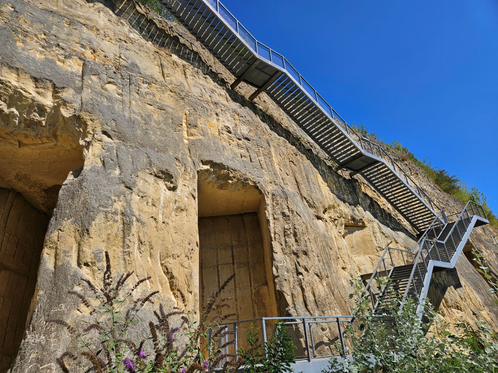
The trail forced The Wandelgek to tackle the brutal, steep metal stairs cutting straight up the flank of the hill, where the sun-baked iron handrails were too hot to touch, without severely burning one’s hands. Next came some white concrete stairs.
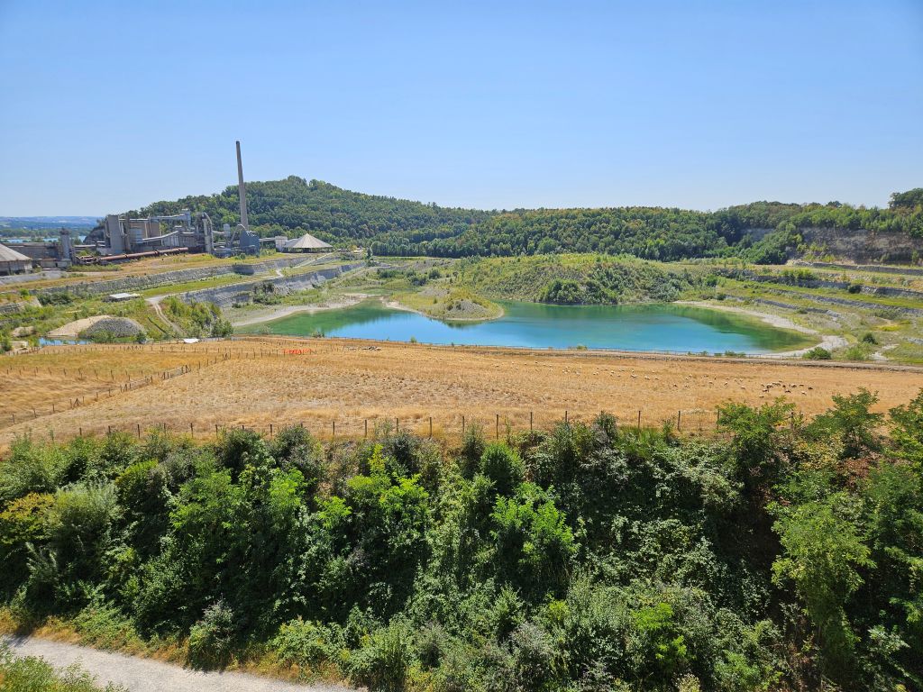 Finally the top was reached and The Wandelgek first sought some shade and began drinking some more from the ice cold water he still had with him.
Reaching the high plateau, he walked out onto the spectacular, cantilevered viewing platform overhanging the massive ENCI marl quarry, looking down into the canyon-like excavation where the sheer white marl walls reflected a dizzying brilliance.
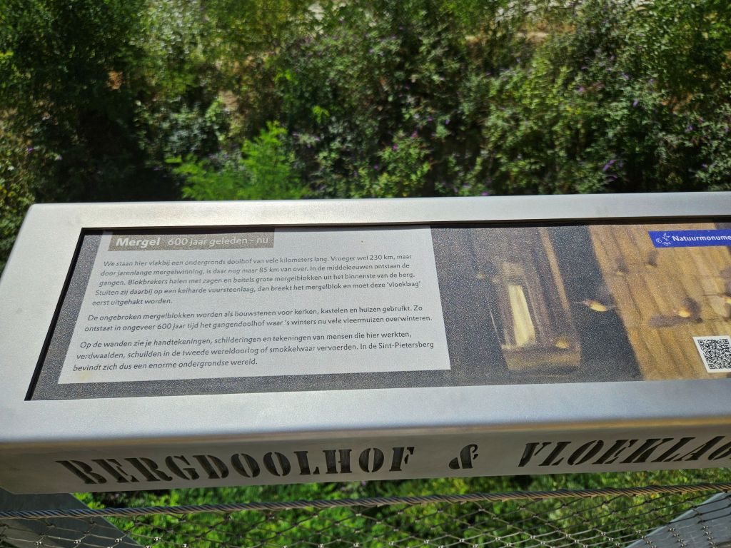 Around 1765 the skull of a Mosasaurus was discovered here in a limestone quarry, one of the first recognised reptile fossils, which was later acquired by the Teylers Museum in Haarlem. A more famous Mosasaurus fossil was found between 1770 and 1774 but was confiscated by the French in 1794 and is now in the Muséum national d’Histoire naturelle in Paris. Later dinosaur remains were discovered here as well, belonging to Betasuchus and Orthomerus, as well as turtles and fossils of smaller creatures of the sea.
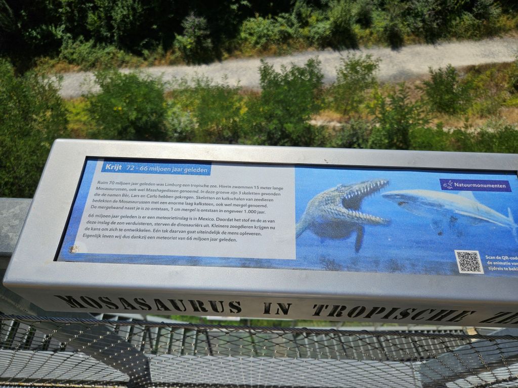
After reading the educational signs the views were even more spectacular, knowing that a Mosasaurus had once been swimming here …
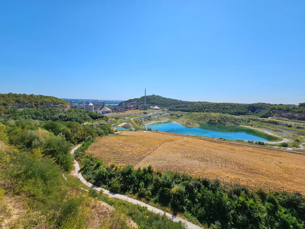
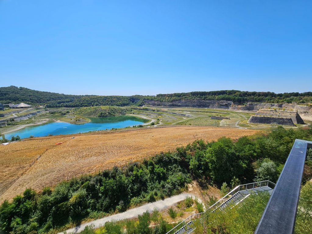
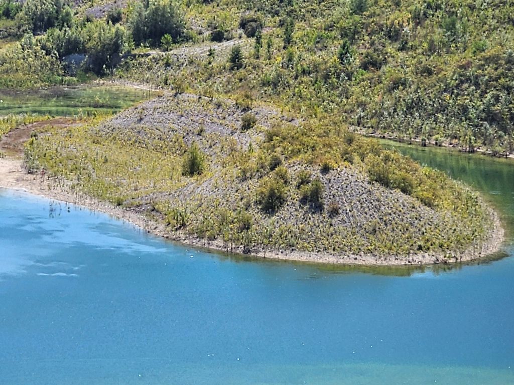
These layers of rock were exposed by man because of the mining. They now tell us about Earth’s ancient history in these parts …
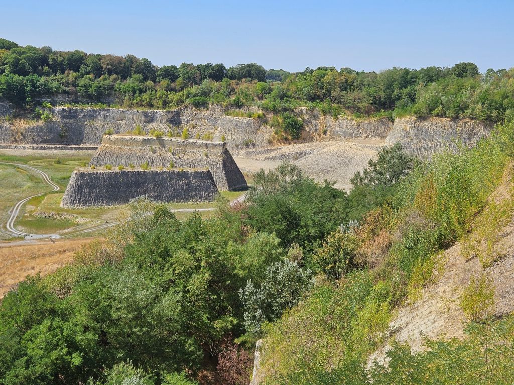
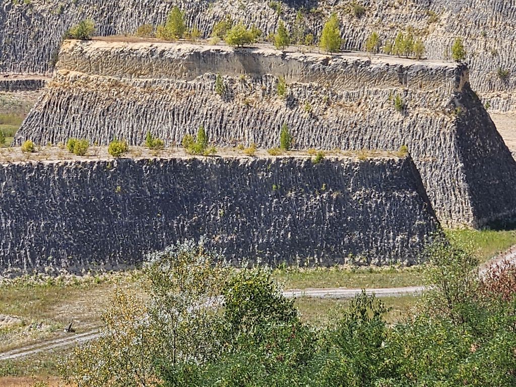
It was very hot and after finishing the last severe climb of the walk it was time to ascend to the last climb named the Zonneberg.
To the Zonneberg
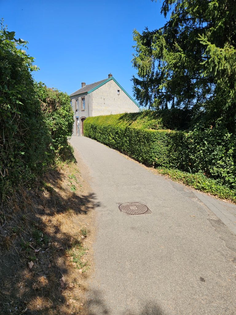
He pushed forward across the sun-drenched plateau and passed the Zonneberg (Sun Mountain)caves (used for tourist tours), which marked the highest northern ridge of the hill and signaled that the hard climbing was finally behind him. He now descended to the Ursulinenweg which was a nice descend through shady forest, although again with some crawl over tree paths to overcome …
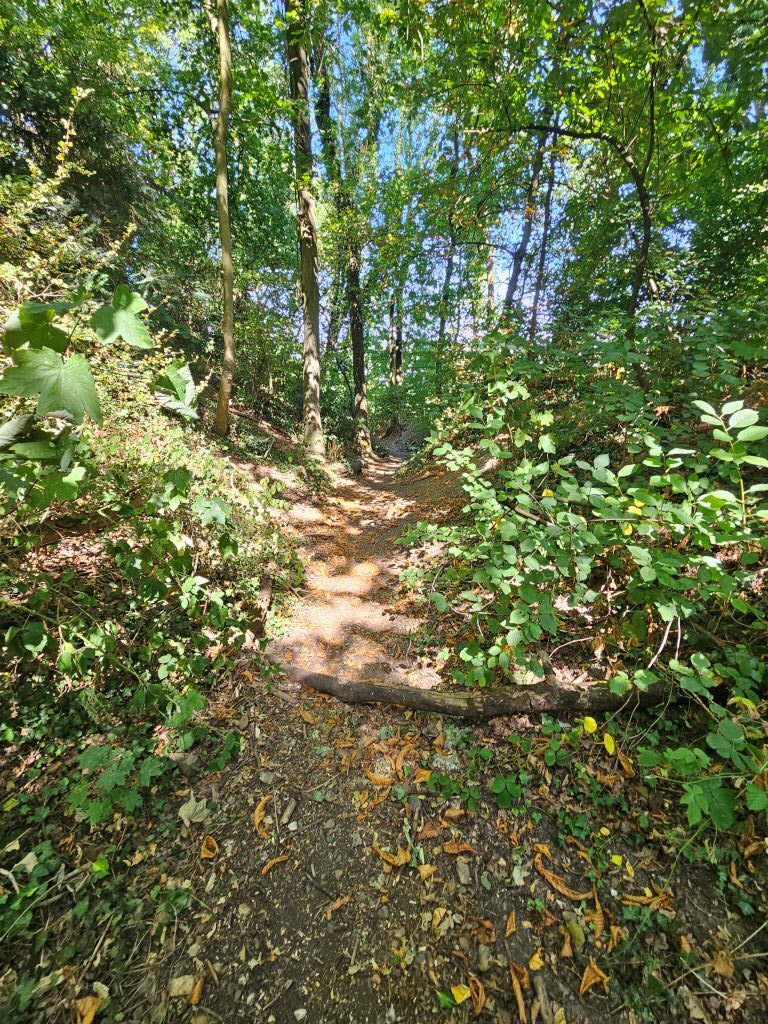
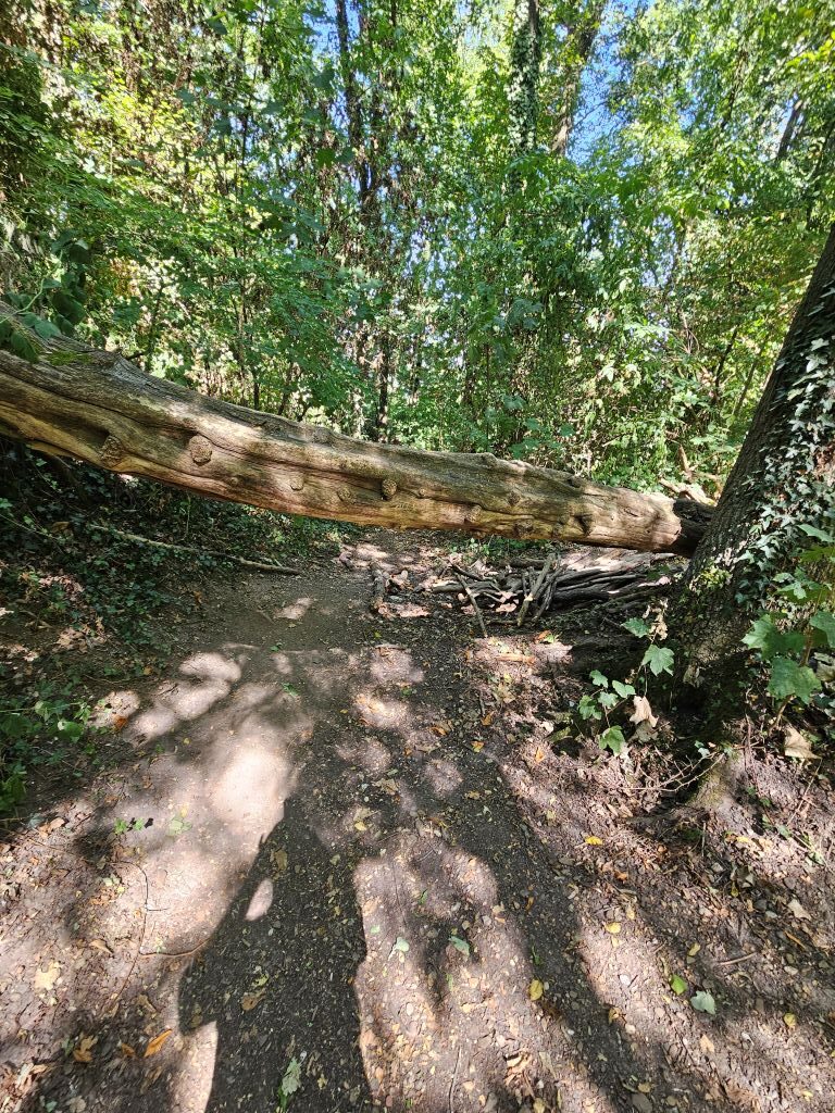
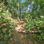
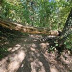
… and further into the Maas/Meuse valley, past the Ursulinen church and monastery.They are not on any photo though because this was where the combinatuon of using a navigation app and making photos and movies had drenched my battery. Loved this section on tge verge of Maastricht though. A place to return to for a photo shoot.
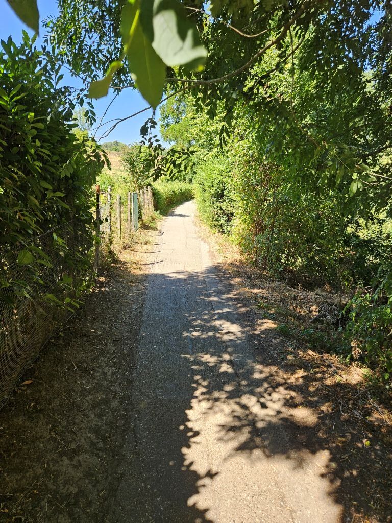
Down into the Maas valley
With the goal in sight, the trail abandoned the high limestone cliffs of Sint-Pietersberg and wound downward through the parched grasslands. The Wandelgek followed the path right down to the banks of the Maas river, steering him into the historic streets of Maastricht in the firection of the old roman bridge and his hostel, …
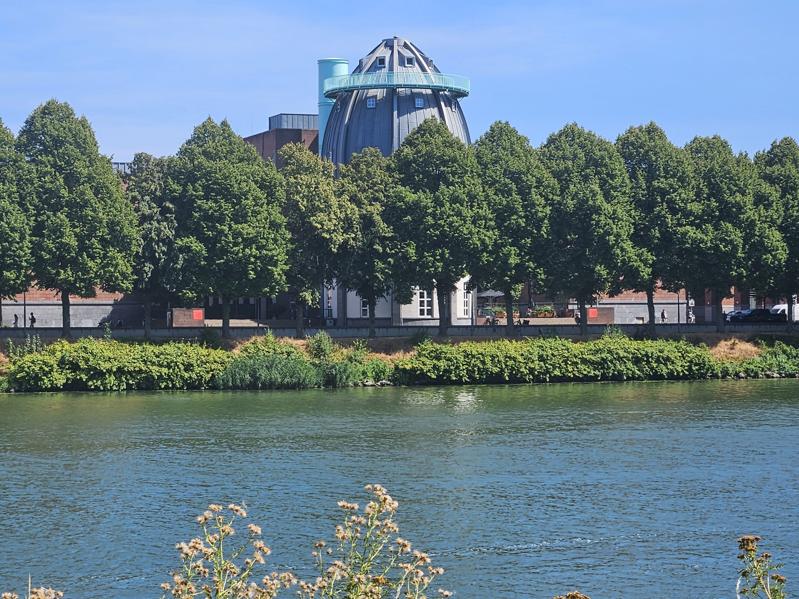
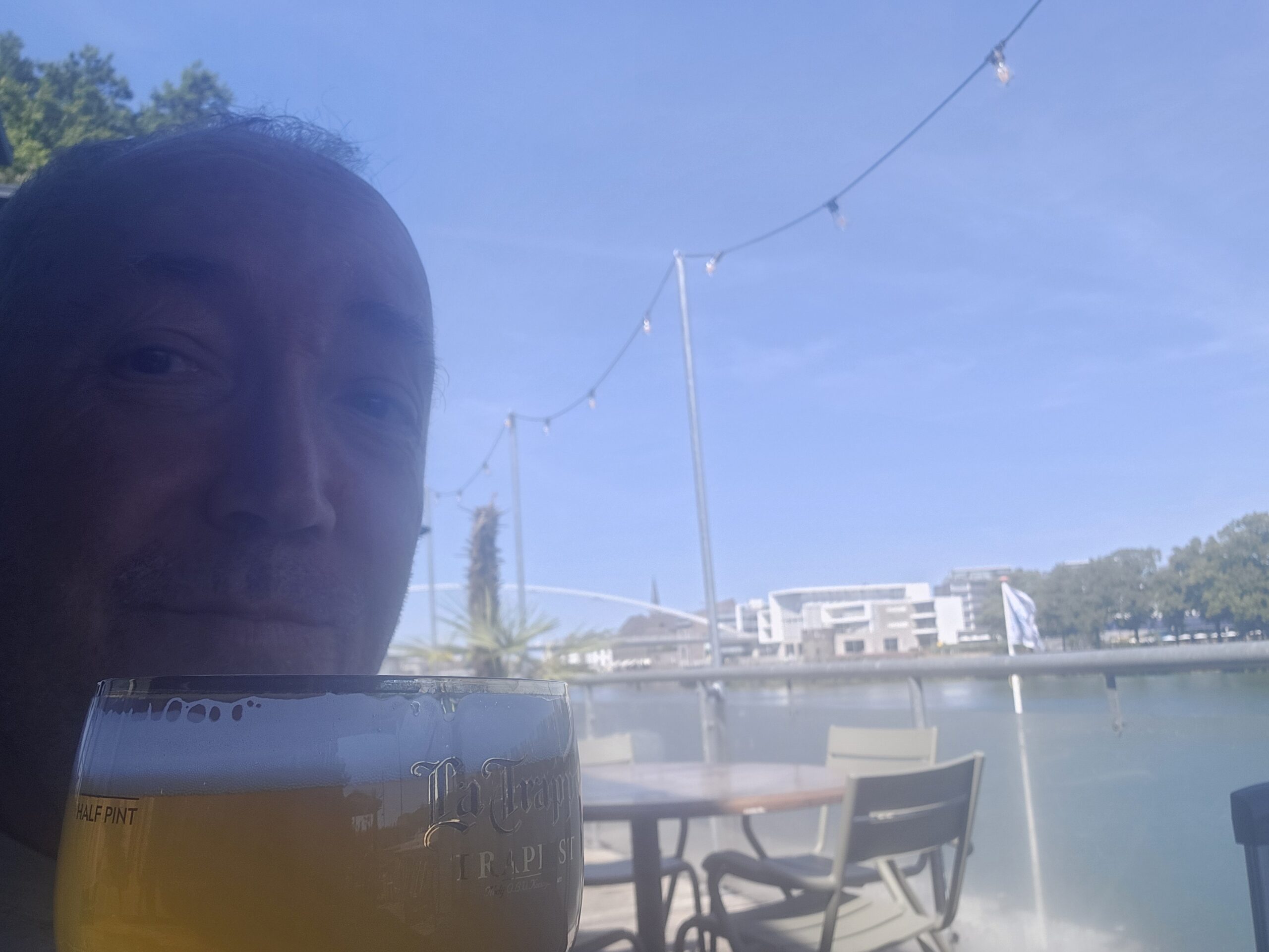
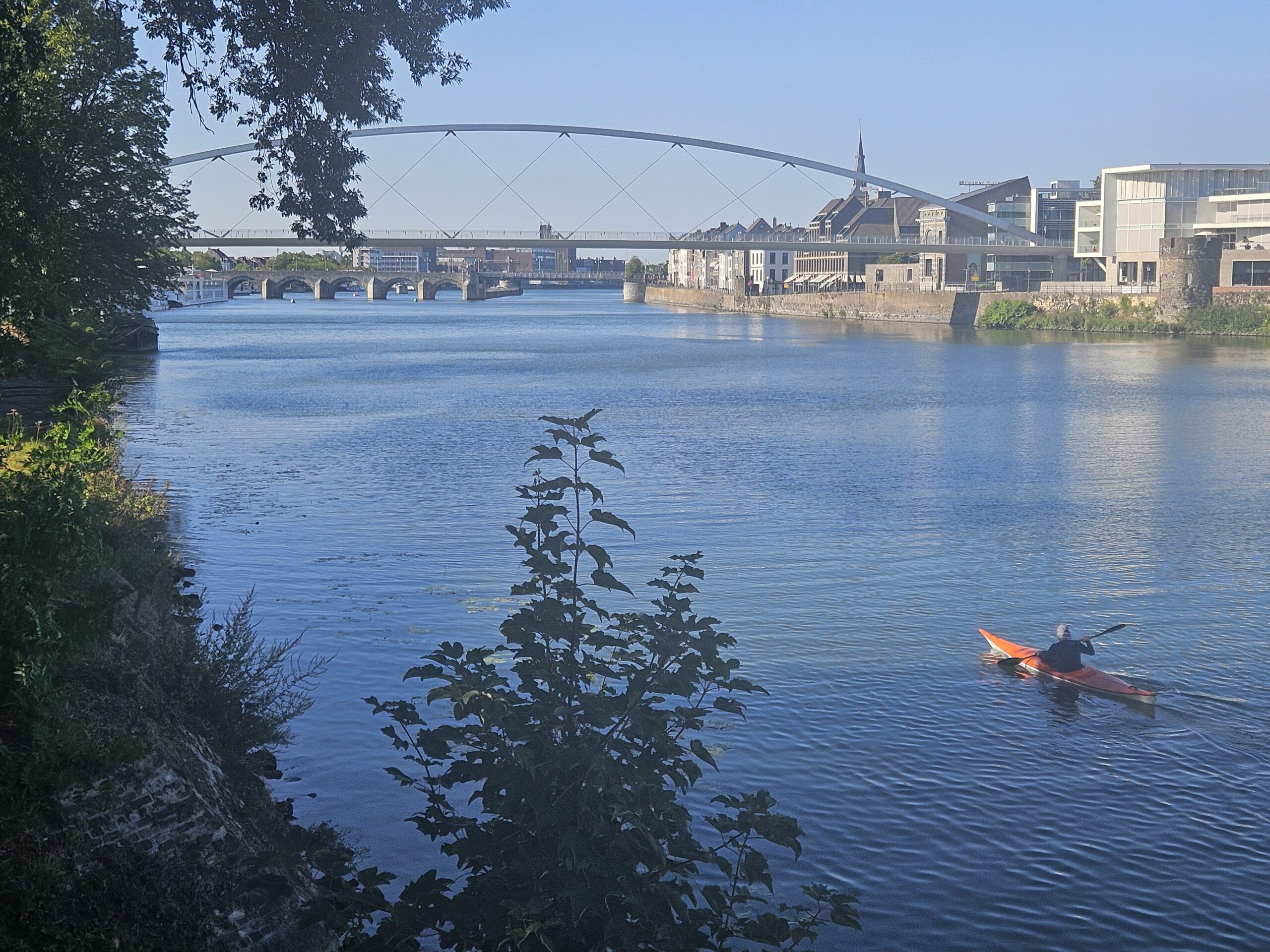
… where a well-earned, ice-cold beer and a sturdy meal finally awaited the dehydrated 😉 hiker.
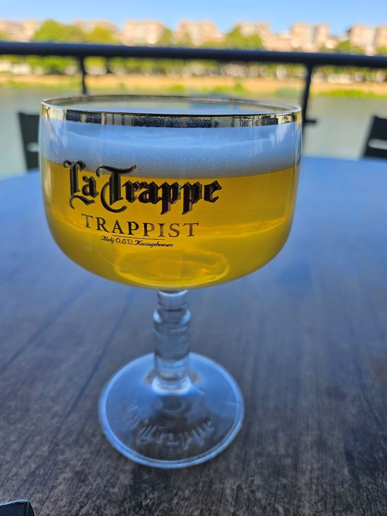
True end of the DMT walk
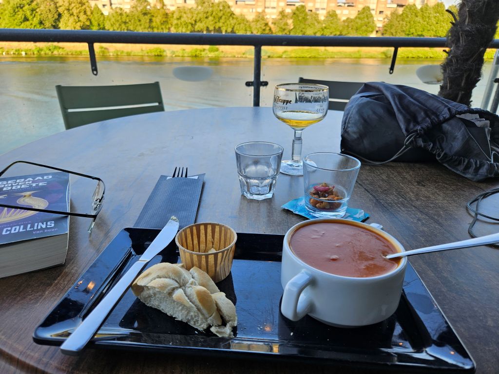
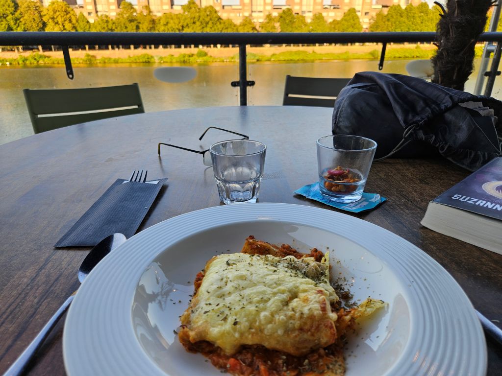
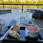
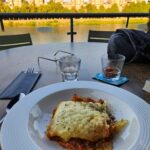
In 2022, The Wandelgek had been walking the DMT from Eijgelshoven until the ferry at Eijsden. In Eijsden he had said goodbye to his walkung mate who had been walking with him from Gulpen to Eijsden. Standing at the ferry, The Wandelgek vowed to rewalk the 4th section of the DMT, but never got to it, because of other travel plans and sudden events in his life that were rather invasive, like e.g. a very necessary open heart surgery and the sudden out of the blue passing of his father. But life goes on and this summer was an opportunity to do some walks in the dutch province of Zuid-Limburg and he couldn’t pass on trying to finish the DMT. It was a bit more than a year ago when he had been hospitalized for surgery and recovery was rather speedy (although it felt slow), but although he hoped to recover to be able to do mountain walks again, he did not expect recovery going so well as it did. A year ago he was barely able to walk 150 metres without sitting down on a bench in the parc, but now he finished the heaviest of the DMT sections. He celebrated that milestone with a delicious cold white La Trappe beer, italian tomato soup and his favorite dish: Lasagna 😋🥳.
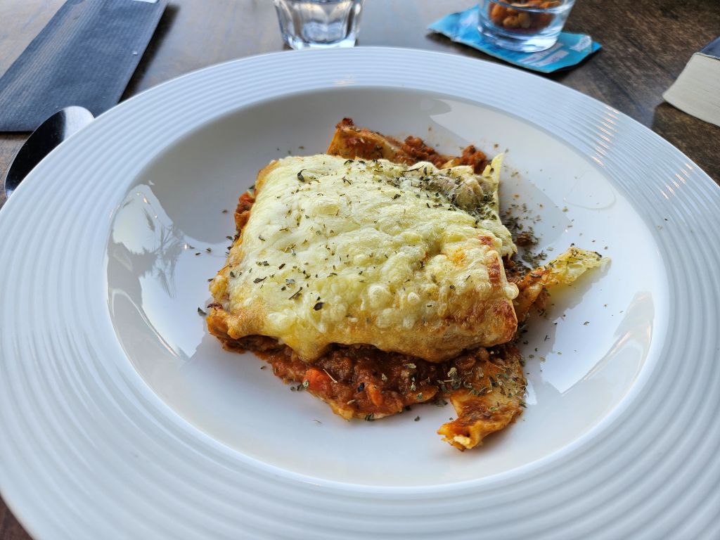
So …. this is truly the end of my DMT blogposts!