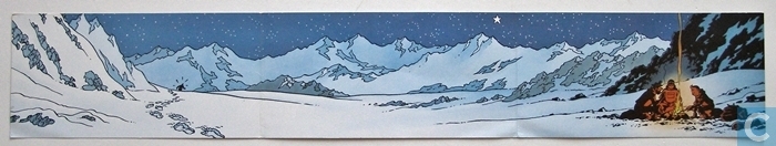
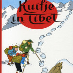
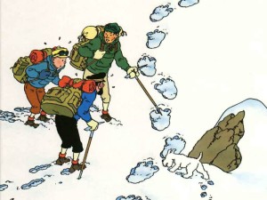
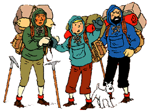
 When The Wandelgek was still at a very young age, he once read the book “Tintin in Tibet” and then he knew that he would one day visit these magical regions. Tintin in Tibet starts in Switzerland and then takes the reader to India, Nepal and finally Tibet. In Kathmandu Tintin visits a number of monuments and local customs are discussed such as drying red peppers on the ground and carrying goods on the back. Then we walk to Tibet and visit a monastery, among other things. A beautifully drawn comic book with somehow an overwhelming use of “white”.
 In Kathmandu you can find beautiful designs for your own Tintin T-shirt in the small sewing workshops in the Thamel district.

Tintin T-shirt from Thamel in Kathmandu …
The Friendship Highway
 The Friendship Highway (also known as the China-Nepal Highway, Chinese: 中 尼 公路; pinyin: zhongni Gonglu) is an 800 kilometers (500 miles) long tourist route connecting the capital of Tibet; Lhasa connects to the China / Nepalese border at the Sino-Nepalese “Friendship Bridge” between Zhangmu and Kodari. The road encompasses the western part of China National Highway 318 (Shanghai-Zhangmu) and crosses three passes over 5000 m before descending to 1,750 m at the border.
From Lhasa, the Friendship Highway follows for approximately 60 km. the Kyi Chu River, up to its confluence with the Yarlung Tsangpo River (Brahmaputra in India) at Chushul. The main route continues along the Yarlung valley to Shigatse, Tibet’s second city and formerly home to the Panchen Lama (Tashilhunpo monastery). A side branch crosses the Yarlung Tsangpo at Chushul and crosses the 4800 m high Gampa La pass, then passes the beautiful turquoise sacred lake Yamdrok Yutso before crossing the 5045 m high Karo La pass at the foot of the Noijin Kangsang. Finally, the road downstream follows the Nyang Chu valley via Gyantse (Tibet’s third city) to Shigatse.
From Shigatse, the road continues west, parallel to the valley of Yarlung Tsangpo. The road first goes to Lhatse and splits just past Chapu, where the China National Highway 219 continues west and upstream to finally cross the Brahmaputra / Indus junction near the sacred Mount Kailash and Lake Manasarovar, then continue to walk to Ali in Gar County.

The Gyatsu La pass (5220 meter high, but nowadays it is reassessed at 5260 meter high…)
From Chapu near Lhatse, the Friendship Highway, which has Highway number 318, continues and turns southwest. The Friendship Highway crosses the main Brahmaputra-Ganges junction at the Gyatso La (5260m, although the sign indicates 5220m), the highest pass on this road. Then the road descends 1,000 meters into the alluvial plain of the Bum-Chu, also known as the Arun River in Nepal. The highway passes Shelkar (New Tingri) and then through Old Tingri, both entrances to Rongbuk Monastery on the north side of Mount Everest.
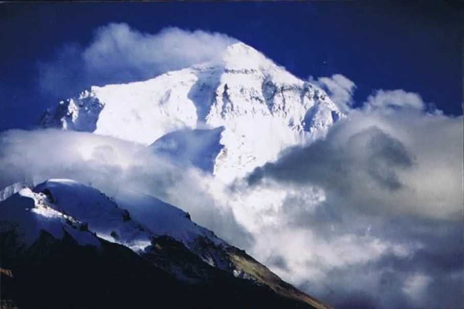
Mount Everest seen from Rongbuk…
The road continues to the southwest, and climbs over the Lalung La pass (5050m / 16,570 ‘) and shortly afterwards crosses the Tong La pass (also known as Thong La, Yakri Shung La or Yakrushong La) (5150m / 16, 900 ‘), which marks the watershed between the Bum-Chu / Arun and Matsang Tsangpo / Zon Kosi rivers. The Friendship Highway then descends along Matsang Tsangpo and continues through Nyalam, before descending steeper through a narrow canyon to Zhangmu. The road ends at the Friendship Bridge on the Sino-Nepalese border at an altitude of only 1750 m / 5740 ‘. The continuation of the road between the border town of Kodari and Kathmandu is called Arniko Rajmarg.
The landscape along the highway is characterized by important cultural monuments. The upper valley of the Yarlung Tsangpo (Brahmaputra) River, expansive grasslands and meadows, and mountain views, including five of the world’s highest peaks: Everest, Lhotse, Makalu, Cho Oyu and Shishapangma, as well as partly undiscovered and unclimbed peaks east of the Tong La pass that also reach a height of 7367 meters at Labuche Kang.